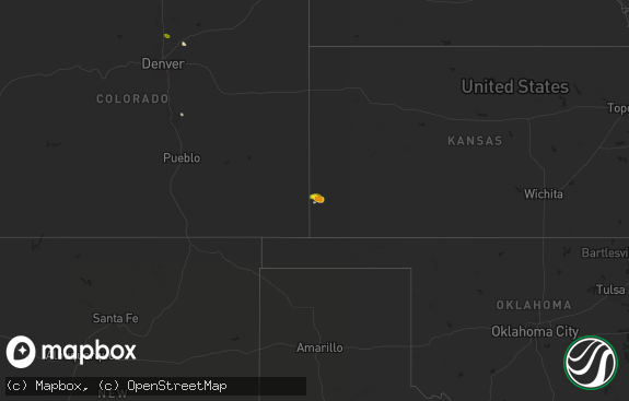
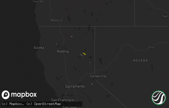
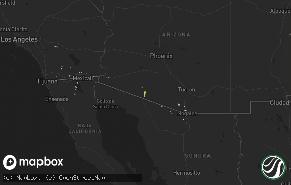
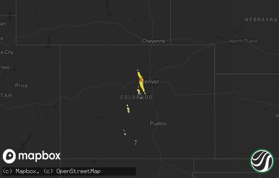
Hail Map in California on September 4, 2022
The weather event in California on September 4, 2022 includes Hail, Tornado, and Wind maps. 7 states and 145 cities were impacted and suffered possible damage. The total estimated number of properties impacted is 0.

Hail
Tornado
Wind
0
Estimated number of impacted properties by a 1.00" hail or larger0
Estimated number of impacted properties by a 1.75" hail or larger0
Estimated number of impacted properties by a 2.50" hail or largerStorm reports in California
California
| Date | Description |
|---|---|
| 09/04/20226:00 PM CDT | Mesonet station se109 castaic rec |
| 09/04/20226:00 PM CDT | Mesonet station se032 castaic lake |
| 09/04/20223:46 AM CDT | At 845 PM PDT, a severe thunderstorm was located 12 miles northeast of Ludlow, or 22 miles southwest of Kelso, moving west at 30 mph. HAZARD...60 mph wind gusts and quarter size hail. SOURCE...Radar indicated. IMPACT...Hail damage to vehicles is expected. Expect wind damage to roofs and trees. Locations impacted include... Ludlow.This includes Interstate 40 in California between mile markers 30 and62. |
| 09/04/20222:31 AM CDT | At 730 PM PDT, a severe thunderstorm was located near Essex, or 17 miles southeast of Mitchell Caverns, moving west at 10 mph. HAZARD...60 mph wind gusts and quarter size hail. SOURCE...Radar indicated. IMPACT...Hail damage to vehicles is expected. Expect wind damage to roofs and trees. Locations impacted include... Essex.This includes Interstate 40 in California between mile markers 87 and105. |
| 09/03/202211:37 PM CDT | At 437 PM PDT, a severe thunderstorm was located near Palmdale, moving northwest at 15 mph. HAZARD...60 mph wind gusts and penny size hail. SOURCE...Radar indicated. IMPACT...Expect damage to roofs, siding, and trees. Locations impacted include... Lancaster... Palmdale... Quartz Hill... and Desert View Highlands. |
| 09/03/202211:34 PM CDT | At 433 PM PDT, a severe thunderstorm was located 14 miles north of Fillmore, moving northwest at 20 mph. HAZARD...60 mph wind gusts and penny size hail. SOURCE...Radar and automated weather station. IMPACT...Expect damage to roofs, siding, and trees. Locations impacted include... Lockwood Valley... Topatopa Peak... Alamo Mountain... Reyes Peak... Pyramid Lake... and Interstate 5 over the Grapevine. |
| 09/03/202210:53 PM CDT | At 352 PM PDT, a severe thunderstorm was located 8 miles northwest of Santa Clarita, moving northwest at 15 mph. HAZARD...60 mph wind gusts and penny size hail. SOURCE...Radar indicated. IMPACT...Expect damage to roofs, siding, and trees. Locations impacted include... Santa Clarita... Castaic Lake... Pyramid Lake... Interstate 5 over the Grapevine... and Highway 138 between Quail Lake and Lancaster. |
| 09/03/202210:39 PM CDT | At 339 PM PDT, a severe thunderstorm was located near Pinon Hills, or 9 miles north of Wrightwood, moving west at 10 mph. HAZARD...60 mph wind gusts and penny size hail. SOURCE...Radar indicated. IMPACT...Expect damage to roofs, siding, and trees. Locations impacted include... Lake Los Angeles... Palmdale... Pearblossom... Llano... Littlerock... Valyermo... and Highway 138 between Llano and the San Bernardino County line. |
| 09/03/202210:34 PM CDT | At 334 PM PDT, a severe thunderstorm was located near I-15 Between Victorville And Barstow, moving west at 20 mph. HAZARD...60 mph wind gusts and quarter size hail. SOURCE...Radar indicated. IMPACT...Hail damage to vehicles is expected. Expect wind damage to roofs, siding, and trees. Locations impacted include... Victorville, Apple Valley, I-15 Between Victorville And Barstow, Adelanto, Helendale and Oro Grande. |
| 09/03/202210:34 PM CDT | At 333 PM PDT, a severe thunderstorm was located near Santa Clarita, moving west at 10 mph. HAZARD...60 mph wind gusts. SOURCE...Radar indicated. IMPACT...Expect damage to roofs, siding, and trees. Locations impacted include... Santa Clarita... and Castaic Lake. |
| 09/03/202210:33 PM CDT | At 333 PM PDT, a severe thunderstorm was located over Highland, or near Redlands, moving west at 15 mph. HAZARD...60 mph wind gusts and quarter size hail. SOURCE...Radar indicated. IMPACT...Hail damage to vehicles is expected. Expect wind damage to roofs, siding, and trees. Locations impacted include... Riverside, San Bernardino, Fontana, Moreno Valley, Rialto, Redlands, Highland, Colton, Loma Linda and Mentone. |
| 09/03/202210:27 PM CDT | At 324 PM PDT, Doppler radar indicated a severe thunderstorm capable of producing damaging winds in excess of 60 mph. This storm was located 7 miles northwest of Mount Wilson, and moving west at 10 mph. Penny size hail may also accompany the damaging winds. Locations impacted include... Sunland... Pacoima... Sylmar... San Fernando... Lakeview Terrace... and Tujunga. |
| 09/03/20229:50 PM CDT | At 249 PM PDT, a severe thunderstorm was located near Acton, moving west at 10 mph. HAZARD...60 mph wind gusts and quarter size hail. SOURCE...Radar indicated. IMPACT...Hail damage to vehicles is expected. Expect wind damage to roofs, siding, and trees. Locations impacted include... Acton. |
| 09/03/20229:45 PM CDT | At 245 PM PDT, a severe thunderstorm was located 11 miles north of Glendora, moving west at 10 mph. HAZARD...60 mph wind gusts and quarter size hail. SOURCE...Radar indicated. IMPACT...Hail damage to vehicles is expected. Expect wind damage to roofs, siding, and trees. Locations impacted include... Falling Springs... Angeles Crest Highway between Mount Waterman and Wrightwood... and Angeles Crest Highway between Mount Wilson and Mount Waterman. |
| 09/03/20229:10 PM CDT | Delayed report...numerous photos of large trees down and powerlines downed by high winds. Scattered damage reported throughout town. |
All States Impacted by Hail Map on September 4, 2022
Cities Impacted by Hail Map on September 4, 2022
- Eagletown, OK
- Rugby, ND
- Castaic, CA
- Burneyville, OK
- Marietta, OK
- Overbrook, OK
- Mena, AR
- Towner, ND
- Thackerville, OK
- Wichita Falls, TX
- Riesel, TX
- Healdton, OK
- Rockwall, TX
- Sachse, TX
- Wylie, TX
- Rowlett, TX
- Garland, TX
- Weatherford, TX
- Jacksboro, TX
- Windthorst, TX
- Olney, TX
- Henrietta, TX
- Lakeview, TX
- Fort Worth, TX
- Haslet, TX
- Bowie, TX
- Breckenridge, TX
- Woodson, TX
- Graham, TX
- Asher, OK
- Wister, OK
- Granbury, TX
- Cleburne, TX
- Lorena, TX
- Waco, TX
- Arkadelphia, AR
- Okolona, AR
- Seymour, TX
- Iowa Park, TX
- Gainesville, TX
- Texarkana, TX
- Azle, TX
- Springtown, TX
- Throckmorton, TX
- Albany, TX
- Fulton, AR
- Saratoga, AR
- Loving, TX
- Cisco, TX
- Eastland, TX
- Irving, TX
- Cedar Hill, TX
- Grand Prairie, TX
- Dallas, TX
- Teague, TX
- Mcalester, OK
- Madill, OK
- Kingston, OK
- Rhome, TX
- Decatur, TX
- Royse City, TX
- Rotan, TX
- Groesbeck, TX
- Athens, TX
- Chico, TX
- Sunset, TX
- Grandview, TX
- Watson, OK
- Kerens, TX
- Larue, TX
- Montalba, TX
- Palestine, TX
- Chilton, TX
- Richardson, TX
- Allen, TX
- Plano, TX
- Godley, TX
- Red Oak, OK
- Memphis, TX
- Frankston, TX
- Burnet, TX
- Millsap, TX
- Graford, TX
- Bryson, TX
- Canyon Country, CA
- De Queen, AR
- Gillham, AR
- Grannis, AR
- Frisco, TX
- Scotland, TX
- Dublin, TX
- Mart, TX
- Vandervoort, AR
- Cove, AR
- Santa Clarita, CA
- Mineral Wells, TX
- Aledo, TX
- Mesquite, TX
- Venus, TX
- Ardmore, OK
- Norman, OK
- Nashville, AR
- Valley View, TX
- Caddo Gap, AR
- Oklahoma City, OK
- Bridgeport, TX
- Mckinney, TX
- Forney, TX
- Sunnyvale, TX
- Holliday, TX
- Bullhead City, AZ
- Golden Valley, AZ
- Newcastle, TX
- Lipan, TX
- Archer City, TX
- Bismarck, AR
- Bullard, TX
- Fairfield, TX
- Streetman, TX
- Westhope, ND
- Seagoville, TX
- McCaskill, AR
- Lone Grove, OK
- Carrollton, TX
- Addison, TX
- The Colony, TX
- Crandall, TX
- Malakoff, TX
- Princeton, TX
- Keota, OK
- Talihina, OK
- Woodway, TX
- Hooks, TX
- Pauls Valley, OK
- Paoli, OK
- Mineral Springs, AR
- Ozan, AR
- Columbus, AR
- Mingus, TX
- Ranger, TX
- Tennessee Colony, TX
- Keller, TX
- Youngstown, OH
- Kopperl, TX
- Morgan, TX


