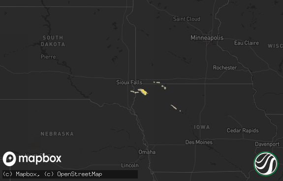
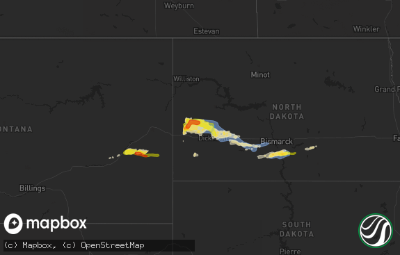
Hail Map in South Carolina on August 22, 2019
The weather event in South Carolina on August 22, 2019 includes Hail and Wind maps. 19 states and 224 cities were impacted and suffered possible damage. The total estimated number of properties impacted is 0.

Hail
Wind
0
Estimated number of impacted properties by a 1.00" hail or larger0
Estimated number of impacted properties by a 1.75" hail or larger0
Estimated number of impacted properties by a 2.50" hail or largerStorm reports in South Carolina
South Carolina
| Date | Description |
|---|---|
| 08/22/20196:58 PM CDT | 2 trees down at the intersection of east poinsett street and j. Verne smith parkway. Time estimated by radar. |
| 08/22/20192:27 PM CDT | South carolina highway patrol reported a tree down along south carolina highway 462 near coolers crocery. Time estimated is based on radar. The report was also relayed |
| 08/21/201910:44 PM CDT | At 343 PM EDT, a severe thunderstorm was located 5 miles south of Shelby, or near Earl, moving northeast at 10 mph. HAZARD...60 mph wind gusts and half dollar size hail. SOURCE...Radar indicated. IMPACT...Minor hail damage to vehicles is expected. Expect wind damage to trees and power lines. Locations impacted include... Shelby, Patterson Springs, Earl, Grover and Kings Mountain. |
| 08/21/20198:56 PM CDT | At 156 PM EDT, severe thunderstorms were located along a line extending from 12 miles east of Spruce Pine to 8 miles east of Marion to 15 miles northwest of Rutherfordton to near Hendersonville, moving east at 10 mph. HAZARD...60 mph wind gusts and quarter size hail. SOURCE...Radar indicated. IMPACT...Minor hail damage to vehicles is expected. Expect wind damage to trees and power lines. Locations impacted include... Morganton, Hendersonville, Marion, Valdese, Flat Rock, Drexel, Glen Alpine, Lake Lure, Old Fort and Saluda. |
All States Impacted by Hail Map on August 22, 2019
Cities Impacted by Hail Map on August 22, 2019
- Ralph, SD
- Colorado Springs, CO
- Hastings, NE
- Shepherd, MT
- Billings, MT
- Huntley, MT
- Buffalo, WY
- Clearmont, WY
- Anadarko, OK
- Apache, OK
- Alda, NE
- Doniphan, NE
- Wood River, NE
- Juniata, NE
- Forsyth, MT
- Pine Bluffs, WY
- Grover, CO
- Carpenter, WY
- Wellston, OK
- Smithsburg, MD
- Rocky Ridge, MD
- Hagerstown, MD
- Thurmont, MD
- Woodsboro, MD
- Sabillasville, MD
- Keymar, MD
- Chandler, OK
- Emmitsburg, MD
- Tecumseh, OK
- Littlestown, PA
- Glasgow, MT
- Macomb, OK
- Yeso, NM
- Cuervo, NM
- Luther, OK
- Otter, MT
- Busby, MT
- Ravenna, NE
- Brule, NE
- Orrtanna, PA
- Raton, NM
- New Raymer, CO
- Fort Sumner, NM
- Glenvil, NE
- Arcadia, OK
- Wanette, OK
- Capulin, NM
- Jones, OK
- Broadus, MT
- Capitol, MT
- Des Moines, NM
- Kimball, NE
- Matador, TX
- Floydada, TX
- Hammond, MT
- Mustang, OK
- Weston, WY
- Whitewater, MT
- Kersey, CO
- Fairfield, PA
- Choctaw, OK
- Asher, OK
- Santa Rosa, NM
- Crosbyton, TX
- Frederick, MD
- Myersville, MD
- Walkersville, MD
- Gettysburg, PA
- Winston Salem, NC
- Union Bridge, MD
- Springer, NM
- Nogales, AZ
- Briggsdale, CO
- Lame Deer, MT
- Arvada, WY
- Saco, MT
- Alzada, MT
- Union City, OK
- Boyes, MT
- Jordan, MT
- Usaf Academy, CO
- Harrah, OK
- Mcloud, OK
- Meeker, OK
- Cyril, OK
- Pauls Valley, OK
- Stratford, OK
- El Reno, OK
- Yukon, OK
- Oklahoma City, OK
- Birney, MT
- Volborg, MT
- Gill, CO
- Edenton, NC
- Tyner, NC
- Knotts Island, NC
- Ballantine, MT
- Worden, MT
- Childress, TX
- Gaithersburg, MD
- Rockville, MD
- Ashton, MD
- Sandy Spring, MD
- Silver Spring, MD
- Olney, MD
- Derwood, MD
- Spencerville, MD
- Fulton, MD
- Brookeville, MD
- Highland, MD
- Burtonsville, MD
- Curtis Bay, MD
- Glen Burnie, MD
- Severn, MD
- Pasadena, MD
- Henderson, MD
- Rock Hall, MD
- Centreville, MD
- Church Hill, MD
- Barclay, MD
- Marydel, MD
- Chestertown, MD
- Felton, DE
- Goldsboro, MD
- Camden Wyoming, DE
- Millington, MD
- Queen Anne, MD
- Ingleside, MD
- Marydel, DE
- Sudlersville, MD
- Greensboro, MD
- Ridgely, MD
- Chesapeake, VA
- Virginia Beach, VA
- Lanexa, VA
- New Kent, VA
- Amelia Court House, VA
- Shacklefords, VA
- Barhamsville, VA
- Hamilton, VA
- Purcellville, VA
- Leesburg, VA
- Ayr, NE
- Blue Hill, NE
- Clay Center, NE
- Edgar, NE
- Fairfield, NE
- Belleville, PA
- Lewistown, PA
- Saylorsburg, PA
- Brodheadsville, PA
- Almyra, AR
- De Witt, AR
- Davidson, OK
- Frederick, OK
- Hollister, OK
- Lyman, SC
- Duncan, SC
- Greer, SC
- Charles Town, WV
- Harpers Ferry, WV
- New York, NY
- Brooklyn, NY
- Jersey City, NJ
- Bellmore, NY
- Wantagh, NY
- Seaford, NY
- West Babylon, NY
- Brentwood, NY
- Bohemia, NY
- Southold, NY
- Laurel, NY
- Smithtown, NY
- Deer Park, NY
- Lindenhurst, NY
- Yaphank, NY
- South Jamesport, NY
- Lake Grove, NY
- Islip Terrace, NY
- West Islip, NY
- Great River, NY
- Shelter Island, NY
- Ronkonkoma, NY
- Centereach, NY
- Patchogue, NY
- Jamesport, NY
- Calverton, NY
- Selden, NY
- Shelter Island Heights, NY
- Massapequa, NY
- Hauppauge, NY
- Babylon, NY
- Cutchogue, NY
- Farmingville, NY
- Islip, NY
- East Islip, NY
- Bay Shore, NY
- Copiague, NY
- Holtsville, NY
- Farmingdale, NY
- Wyandanch, NY
- Oakdale, NY
- Manorville, NY
- Medford, NY
- Brightwaters, NY
- Amityville, NY
- Levittown, NY
- Peconic, NY
- North Babylon, NY
- Greenport, NY
- East Meadow, NY
- Islandia, NY
- Middle Island, NY
- Bethpage, NY
- Wading River, NY
- Central Islip, NY
- Nesconset, NY
- Holbrook, NY
- Mattituck, NY
- Riverhead, NY
- Sayville, NY
- Ridge, NY
- Massapequa Park, NY
- Coram, NY


