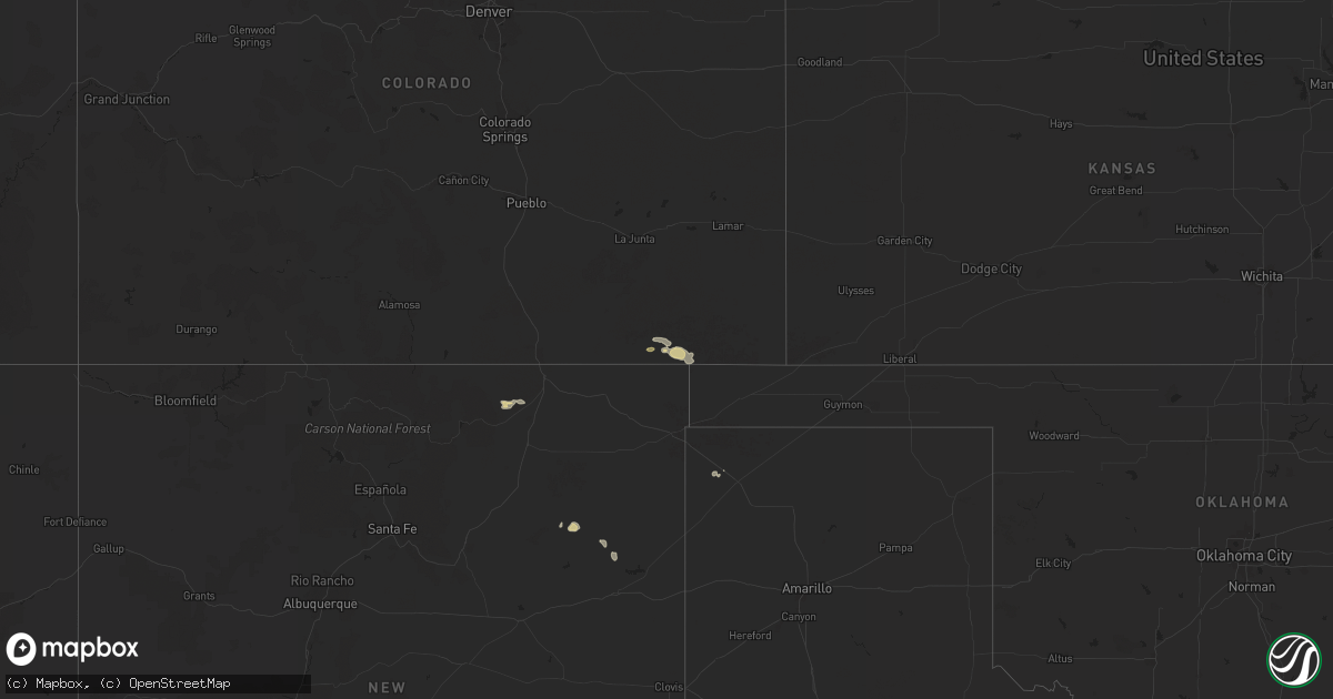
Hail Map on August 9, 2024
Get this storm
August 9 map
$229
one time, instant access
Download today. No call, no setup
Keep the $229
Bought the map and want the full workflow? Apply the entire $229 to a subscription within 7 days. None of it is wasted.
Every map, not just this one
This buys you this map. Subscription and you get every map we run, in the markets you choose from a few cities to whole states to nationwide. Plus real-time alerts the moment a storm fires.
Contact data
Name, contact info, occupancy, even credit band for addresses in the footprint. You go from where it hit to who to call.
Become the source they trust
Unlimited branding weather history reports on demand. You already have the documented answer ready for the property owner, and you are the one who showed up with it.
Property data and RoofTrace estimates
Pull up any address you have got, its value and the exact code rules for that jurisdiction, straight from One Click Code. Then RoofTrace estimates the squares, pitch, and roof value, priced the way you price.
States Impacted by Hail Map on August 9, 2024
Storm reports
Maryland
| Date | Description |
|---|---|
| 08/09/202410:01 AM CDT | Weatherflow xhrt at hart/miller gusted to 50 knots. |
New York
| Date | Description |
|---|---|
| 08/09/20244:51 PM CDT | An ef 0 tornado ocurred along the nys thruway uprooting a few hardwood trees near exit 18. |
| 08/09/20243:22 PM CDT | A few trees down in brantingham. Time estimated by radar. |
| 08/09/20243:15 PM CDT | A few trees down in croghan. Time estimated by radar. |
| 08/09/20243:11 PM CDT | A few trees down in watson. Time estimated by radar. |
Utah
| Date | Description |
|---|---|
| 08/09/20246:55 PM CDT | Mesonet station uusyr 2.5 sw west point. |
| 08/09/20246:50 PM CDT | Mesonet station uupt1 uu portable trailer 1. |
| 08/08/20248:40 PM CDT | Mesonet station ut144 i-15 at mp 144. |
| 08/08/20248:01 PM CDT | Trees and large branches reportedly downed from earlier storm passing through woods cross. |
| 08/08/20247:10 PM CDT | Mesonet station utweb us-89 at mp 406 weber river. |
New Mexico
| Date | Description |
|---|---|
| 08/08/20247:50 PM CDT | A local report indicates 58 MPH wind near 1 ENE Fort Sumner |
Idaho
| Date | Description |
|---|---|
| 08/09/202411:02 AM CDT | Mesonet station crii1 - cotton ridge. |
Pennsylvania
| Date | Description |
|---|---|
| 08/09/20241:44 PM CDT | Report from mping: 1-inch tree limbs broken. |
Wyoming
| Date | Description |
|---|---|
| 08/08/20248:27 PM CDT | Asos station kevw evanston-uinta cnty airport. |
North Carolina
| Date | Description |
|---|---|
| 08/09/202412:52 AM CDT | Customers without power in wildwood. Power outage caused by fallen trees or limbs. |
Colorado
| Date | Description |
|---|---|
| 08/09/20244:10 PM CDT | No injuries or fatalities. Minor damage to one home and approx. 20 acres of trees downed/damaged. |
Texas
| Date | Description |
|---|---|
| 08/09/20245:46 PM CDT | A local report indicates 67 MPH wind near 3 E Shields |
New Hampshire
| Date | Description |
|---|---|
| 08/09/20245:35 PM CDT | Corrects previous tstm wnd dmg report from alstead for time of event. Observed 4 downed trees along river st |
| 08/09/20244:51 PM CDT | Spotter reported trees and wires down on nh-135... Road fully closed at time of report. |
| 08/09/20244:30 PM CDT | Observed 4 downed trees along river st |
Cities Impacted by Hail Map on August 9, 2024
- Waco, TX
- Cornish, UT
- Dublin, TX
- Carlton, TX
- Lewiston, UT
- Trenton, UT
- Lorena, TX
- Moody, TX
- Chilton, TX
- Clifton, TX
- McGregor, TX
- Gatesville, TX
- Jonesboro, TX
- Thermopolis, WY
- Valley Mills, TX
- Raton, NM
- Oglesby, TX
- San Saba, TX
- Riesel, TX
- Damon, TX
- Townsend, GA
- Kim, CO
- Angleton, TX
- Brookesmith, TX
- Summerville, SC
- West Columbia, TX
- Richland Springs, TX
- Mullin, TX
- Temple, TX
- Belton, TX
- Beasley, TX
- Rosenberg, TX
- Pritchett, CO
- Sweeny, TX
- Goldthwaite, TX
- Kenton, OK
- Bay City, TX
- Bellville, TX
- San Marcos, TX
- Burnet, TX
- Bleiblerville, TX
- New Ulm, TX
- East Bernard, TX
- Wallis, TX
- Eagle Lake, TX
- El Campo, TX
- New Braunfels, TX
- Industry, TX
- Round Top, TX
- Ledbetter, TX
- Ganado, TX
- Garwood, TX
- Sealy, TX
- Round Rock, TX
- Louise, TX
- Fayetteville, TX
- Alleyton, TX
- Columbus, TX
- Hallettsville, TX
- La Grange, TX
- Seguin, TX
- Round Mountain, TX
- Kingsbury, TX
- Cuero, TX
- Weimar, TX
- Martindale, TX
- Lockhart, TX
- Yoakum, TX
- Dalhart, TX
- Bastrop, TX
- Gonzales, TX
- Wrightsboro, TX
- Nixon, TX
- Leesville, TX
- Smiley, TX
- Edna, TX
- Conchas Dam, NM
- Solano, NM
- Mosquero, NM
- Wisdom, MT
- Cripple Creek, CO