Hail Map in Georgia on August 7, 2020
Get this storm
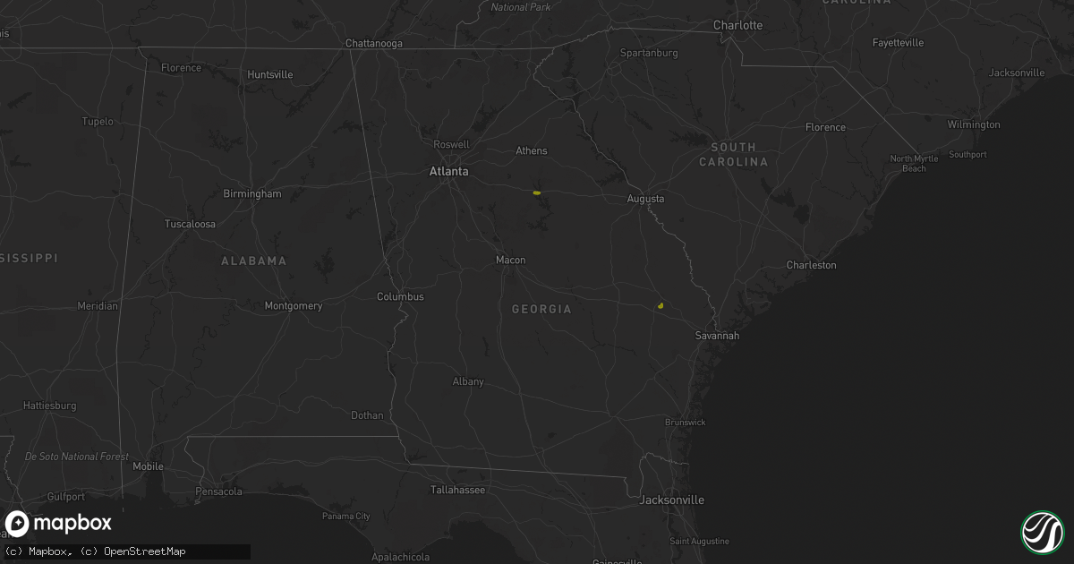
August 7 map
$229
one time, instant access
Download today. No call, no setup
Keep the $229
Bought the map and want the full workflow? Apply the entire $229 to a subscription within 7 days. None of it is wasted.
Every map, not just this one
This buys you this map. Subscription and you get every map we run, in the markets you choose from a few cities to whole states to nationwide. Plus real-time alerts the moment a storm fires.
Contact data
Name, contact info, occupancy, even credit band for addresses in the footprint. You go from where it hit to who to call.
Become the source they trust
Unlimited branding weather history reports on demand. You already have the documented answer ready for the property owner, and you are the one who showed up with it.
Property data and RoofTrace estimates
Pull up any address you have got, its value and the exact code rules for that jurisdiction, straight from One Click Code. Then RoofTrace estimates the squares, pitch, and roof value, priced the way you price.
Storm reports in Georgia
Georgia
| Date | Description |
|---|---|
| 08/07/20206:03 PM CDT | Multiple trees down along i-20 in between mile markers 123 and 126 east of buckhead. |
| 08/07/20205:31 PM CDT | Multiple trees reported down near the intersection of cochran rd and kingston rd. |
| 08/07/20204:40 PM CDT | A tree was reported down near the intersection of beagle rd and george l. Smith park rd. |
| 08/07/20202:53 AM CDT | At 752 PM EDT, a severe thunderstorm was located near Philomath, or 11 miles south of Lexington, moving east at 15 mph. HAZARD...60 mph wind gusts and quarter size hail. SOURCE...Radar indicated. IMPACT...Hail damage to vehicles is expected. Expect wind damage to roofs, siding, and trees. Locations impacted include... Washington, Woodville, Rayle, Newtown, Lundberg, Celeste, Philomath, Carters Grove and Daniel Springs. |
| 08/07/20202:47 AM CDT | At 746 PM EDT, a severe thunderstorm was located over Bear Creek Reservoir, or 8 miles south of Jefferson, moving east at 15 mph. HAZARD...60 mph wind gusts and quarter size hail. SOURCE...Radar indicated. IMPACT...Hail damage to vehicles is expected. Expect wind damage to roofs, siding, and trees. Locations impacted include... Jefferson, Athens, Statham, Arcade, Nicholson, Bogart, Hull, Athens-Clarke County, Westgate Park, James Holland Youth Sports Cmpx, Bear Creek Reservoir, Diamond Hill, Beechwood Hills, Sandy Creek Recreation Area, Oconee Heights, Barretts Mill and Neese. |
| 08/07/20201:53 AM CDT | At 653 PM EDT, a severe thunderstorm was located over Harmony, or 9 miles north of Eatonton, moving northeast at 15 mph. HAZARD...60 mph wind gusts and quarter size hail. SOURCE...Radar indicated. IMPACT...Hail damage to vehicles is expected. Expect wind damage to roofs, siding, and trees. Locations impacted include... Greensboro, Buckhead, Phoenix, Reynolds at Lake Oconee, Liberty, Rock Eagle 4-H Center, Veazey, Parks Mill, Carey, Swords and Harmony. |
| 08/07/202012:51 AM CDT | At 550 PM EDT, a severe thunderstorm was located near Wadley, or 12 miles south of Louisville, moving north at 15 mph. HAZARD...60 mph wind gusts and quarter size hail. SOURCE...Radar indicated. IMPACT...Hail damage to vehicles is expected. Expect wind damage to roofs, siding, and trees. Locations impacted include... Swainsboro, Louisville, Wadley, Twin City, Bartow, Garfield, Summertown, Kite, Modoc, Canoochee, Blundale, Three Points, Moxley, Dellwood and Colemans Lake. |
| 08/06/20208:18 PM CDT | Report of trees downed near the intersection of mansell rd and westside parkway... As well as nickel-sized hail. |
| 08/06/20207:06 PM CDT | A tree was reported down across a driveway along providence circle. |
| 08/06/20207:05 PM CDT | A couple large trees were downed on spruce lane se. |
| 08/06/20207:05 PM CDT | Damage to docks at glade marina on lake allatoona and several trees and power lines down |
All States Impacted by Hail Map on August 7, 2020
Cities Impacted by Hail Map on August 7, 2020
- Solway, MN
- Bagley, MN
- Shevlin, MN
- Naytahwaush, MN
- Cass Lake, MN
- Park Rapids, MN
- Laporte, MN
- Walker, MN
- Lake George, MN
- Ogema, MN
- Bena, MN
- Waubun, MN
- Grand Rapids, MN
- Goodland, MN
- Hibbing, MN
- Cohasset, MN
- Deer River, MN
- Bovey, MN
- Remer, MN
- Warba, MN
- Beulah, ND
- Zap, ND
- Hazen, ND
- Hebron, ND
- Glen Ullin, ND
- New Salem, ND
- Almont, ND
- Flasher, ND
- Carson, ND
- Raleigh, ND
- Upham, ND
- Kramer, ND
- Bottineau, ND
- Hockessin, DE
- Avondale, PA
- Landenberg, PA
- Kennett Square, PA
- Chadds Ford, PA
- Wilmington, DE
- Yorklyn, DE
- Elmer, NJ
- Bridgeton, NJ
- Vineland, NJ
- Newfield, NJ
- Ulen, MN
- Twin Valley, MN
- Nevis, MN
- Akeley, MN
- Hackensack, MN
- Backus, MN
- Osage, MN
- Mcadoo, PA
- Catawissa, PA
- Riverside, PA
- Hazleton, PA
- Sheppton, PA
- Zion Grove, PA
- Ringtown, PA
- Northumberland, PA
- Bloomsburg, PA
- Danville, PA
- Downingtown, PA
- Coatesville, PA
- Thorndale, PA
- Parkesburg, PA
- Glenmoore, PA
- Exton, PA
- Pedricktown, NJ
- Penns Grove, NJ
- Frederick, MD
- Middletown, MD
- Myersville, MD
- Statesboro, GA
- Buckhead, GA
- Greensboro, GA
- Deadwood, SD
- Lead, SD
- Keedysville, MD
- Boonsboro, MD
- Shepherdstown, WV
- Sharpsburg, MD
- Martinsburg, WV
- Williamsport, MD
- Karlstad, MN
- Kennedy, MN
- Ponsford, MN
- Palisade, MN
- Swatara, MN
- Greeley, KS
- Lane, KS
- Richmond, KS
- Franklin, WV
- Riverton, WV
- Circleville, WV
- Osteen, FL
- Geneva, FL
- Albany, MO
- Marcus Hook, PA
- Claymont, DE
- Swedesboro, NJ
- Webbers Falls, OK
- Vian, OK
- Porum, OK
- Neche, ND
- Walhalla, ND
- Gordon, WI
- Vassar, KS
- Quenemo, KS
- Pomona, KS
- Mahnomen, MN
- Dupree, SD
- Underwood, ND
- Stanton, ND
- Park Falls, WI
- Butternut, WI
- Cromwell, MN
- Mcgregor, MN
- Sturgeon Lake, MN
- Kettle River, MN
- Barnum, MN
- McGrath, MN
- Tamarack, MN
- Moose Lake, MN
- Milroy, PA
- Phillips, WI
- Madison, GA
- Keyes, OK
- Morton, TX
- Levelland, TX
- Ruso, ND
- Benedict, ND
- Clarkfield, MN
- Montevideo, MN
- Cochranville, PA
- Morristown, SD
- Keldron, SD
- Lemmon, SD
- Hill City, SD
- Aitkin, MN
- Pennington, MN
- Bemidji, MN
- Carrollton, MO
- Boyd, MN
- Minong, WI
- Williston, SC
- Lodgepole, SD
- Hatley, WI
- Lewisburg, PA
- Springfield, GA
- Waskish, MN
- Kelliher, MN
- Max, ND
- Oviedo, FL
- Enochs, TX
- Mifflinburg, PA
- Loganton, PA
- Amarillo, TX
- Muleshoe, TX
- Douglas, ND
- Rebersburg, PA
- Atglen, PA
- Ottawa, KS
- Amherst, TX
- Selfridge, ND
- Woodstown, NJ
- Franklinville, NJ
- Glassboro, NJ
- Mullica Hill, NJ
- Monroeville, NJ
- Pequot Lakes, MN
- Langdon, ND
- Emily, MN
- Pine River, MN
- Crosslake, MN
- Crosby, MN
- McFall, MO
- Watauga, SD
- McIntosh, SD
- Kingston, MO
- Hamilton, MO
- Rose, OK
- Peggs, OK
- Pembroke, NC
- Lumberton, NC
- Edgewood, MD
- Upper Falls, MD
- Joppa, MD
- Kingsville, MD
- Hopkins, SC
- Stigler, OK
- South Range, WI
- Lugoff, SC
- Berryton, KS
- Kenansville, FL
- Garrison, ND
- Mud Butte, SD
- Chester, PA
- Bathgate, ND
- Meadow, SD
- Hydes, MD
- Glen Arm, MD
- Eastover, SC
- Muskogee, OK
- Gore, OK
- Aston, PA
- Garnet Valley, PA
- Glen Mills, PA
- Bison, SD
- Rockland, DE
- Montchanin, DE
- Brookhaven, PA
- Hulbert, OK
- Tahlequah, OK
- Strandquist, MN
- Outing, MN
- Hayward, WI
- Tripoli, WI
- Maysville, MO
- King City, MO
- Norborne, MO
- Rapid City, SD
- Le Roy, KS
- Slater, MO
- New Bern, NC
- Blythewood, SC
- Elgin, SC
- Winter Garden, FL
- Aiken, SC
- Clewiston, FL
- Okeechobee, FL
- Drayton, ND
- Hallock, MN
- Danbury, WI
- Rozet, WY
- Tomahawk, WI
- Kennan, WI
- Malaga, NJ
- Bridgeport, NJ
- Toughkenamon, PA
- West Chester, PA
- Newark, DE
- Alloway, NJ
- West Grove, PA
- Clayton, NJ
- Calpine, CA
- Faison, NC
- Paola, KS
- Bennettsville, SC
- Burlington, KS
- Gridley, KS
- Dearing, GA
- Hephzibah, GA
- Blythe, GA
- Varnville, SC
- Estill, SC
- Saint Thomas, ND
- Bantry, ND
- Deering, ND
- Middle River, MN
- Elgin, ND
- Solon Springs, WI
- Quarryville, PA
- Christiana, PA
- Paradise, PA
- Granite Falls, MN
- Hanley Falls, MN
- Echo, MN
- Wood Lake, MN
- Havre De Grace, MD
- Aberdeen, MD
- Manheim, PA
- Bel Air, MD
- Churchville, MD
- Osawatomie, KS
- Tecumseh, KS
- Lecompton, KS
- Newton Grove, NC
- Williamsburg, KS
- Johnsonville, SC
- Mayesville, SC
- Register, GA
- Towner, ND
- Goodridge, MN
- Wright, MN
- McLaughlin, SD
- New Leipzig, ND
- Lawrence, KS
- Pattonsburg, MO
- Prentice, WI
- Rosendale, MO
- Savannah, MO
- Sierraville, CA
- Burlingame, KS
- Lyndon, KS
- Scranton, KS
- Newark, MD
- Snow Hill, MD
- Mount Olive, NC
- Coffeyville, KS
- Independence, KS
- Waverly, KS
- Hartsville, SC
- Interlachen, FL
- Galivants Ferry, SC
- Mullins, SC
- Nichols, SC
- Springfield, SC
- Salley, SC
- Gadsden, SC
- Cloquet, MN
- Kaycee, WY
- Waverly, MO
- Harveyville, KS
- Phoenix, MD
- Cameron, MO
- Kidder, MO
- Pelion, SC
- Winder, GA
- Statham, GA
- Maxton, NC
- McColl, SC
- Fort Myers, FL
- De Leon Springs, FL
- Gary, MN
- Wrenshall, MN
- Carlton, MN
- Bejou, MN
- Princeton, KS
- Keota, OK
- Greenville, NC
- Shelby, NC
- Manning, SC
- Columbia, SC
- Loris, SC
- Green Sea, SC
- East Palatka, FL
- Palatka, FL
- Elloree, SC
- Neeses, SC
- Lathrop, MO
- Fifty Lakes, MN
- Sandstone, MN
- Osborn, MO
- Parker, KS
- Zebulon, NC
- Wendell, NC
- Garnett, KS
- Rohrersville, MD
- Fairplay, MD
- Blackville, SC
- Red Springs, NC
- Shannon, NC
- Guyton, GA
- Crescent City, FL
- Deltona, FL
- Blackduck, MN
- Hitterdal, MN
- Gillette, WY
- Dundalk, MD
- Middle River, MD
- Edgerton, KS
- Benedict, KS
- Thayer, KS
- Altoona, KS
- Rockingham, NC
- Cameron, SC
- Orlando, FL
- Sundance, WY
- Sauk Centre, MN
- Jameson, MO
- Dawson, MN
- Chanute, KS
- Gainesville, FL
- Altha, FL
- Kinston, NC
- Bishopville, SC
- Swainsboro, GA
- Pierson, FL
- Bunnell, FL
- Osage City, KS
- Gap, PA
- Clio, SC
- Shields, ND
- Linton, ND
- Lexington, SC
- Orangeburg, SC
- Nottingham, MD
- Perry Hall, MD
- White Marsh, MD
- Fork, MD
- Fallston, MD
- Baldwin, MD
- Hartford, KS
- Bowman, SC
- Callahan, FL
- Helena, MO
- Union Star, MO
- Media, PA
- Pasadena, MD
- Thonotosassa, FL


