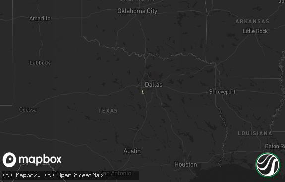
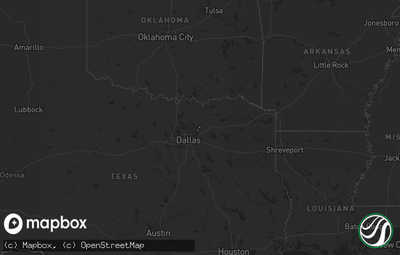
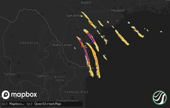
Hail Map in Texas on August 6, 2020
The weather event in Texas on August 6, 2020 includes Hail and Wind maps. 23 states and 452 cities were impacted and suffered possible damage. The total estimated number of properties impacted is 928.

Hail
Wind
928
Estimated number of impacted properties by a 1.00" hail or larger0
Estimated number of impacted properties by a 1.75" hail or larger0
Estimated number of impacted properties by a 2.50" hail or largerStorm reports in Texas
Texas
| Date | Description |
|---|---|
| 08/06/20203:21 AM CDT | At 821 PM CDT, a severe thunderstorm was located 7 miles east of Borger, moving southeast at 5 mph. HAZARD...60 mph wind gusts and quarter size hail. SOURCE...Radar indicated. IMPACT...Minor damage to roofs, siding, and trees is possible. Hail damage to vehicles is expected. Locations impacted include... Pampa, Borger and Skellytown. |
| 08/06/20202:15 AM CDT | At 715 PM CDT, a severe thunderstorm was located 5 miles east of Stinnett, or 12 miles north of Borger, moving east at 20 mph. HAZARD...70 mph wind gusts and penny size hail. SOURCE...Radar indicated. IMPACT...Expect some tree damage. Damage is likely to mobile homes, roofs, and outbuildings. Locations impacted include... Stinnett. |
| 08/05/20208:19 PM CDT | A local report indicates 59 MPH wind near 7 E BORGER |
| 08/05/20207:02 PM CDT | A local report indicates 73 MPH wind near 1 NNW STINNETT |
All States Impacted by Hail Map on August 6, 2020
Cities Impacted by Hail Map on August 6, 2020
- Belle Fourche, SD
- Crimora, VA
- Gordonsville, VA
- Keswick, VA
- Fort Defiance, VA
- Barboursville, VA
- Free Union, VA
- Grottoes, VA
- Louisa, VA
- Charlottesville, VA
- Weyers Cave, VA
- Crozet, VA
- Staunton, VA
- Verona, VA
- Mount Sidney, VA
- Earlysville, VA
- Orlando, FL
- Sterling, CO
- Vale, SD
- Nisland, SD
- Newell, SD
- Spearfish, SD
- Whitewood, SD
- Saint Onge, SD
- Buffalo, SD
- Piedmont, SD
- Sturgis, SD
- Rapid City, SD
- Black Hawk, SD
- Mud Butte, SD
- Fort Pierre, SD
- Hayes, SD
- Coon Rapids, IA
- Bayard, IA
- Audubon, IA
- Templeton, IA
- Dedham, IA
- Hulett, WY
- Weston, WY
- Devils Tower, WY
- Colby, KS
- Rexford, KS
- Selden, KS
- Caldwell, KS
- Milan, KS
- Bluff City, KS
- Austinville, VA
- Woodlawn, VA
- Ivanhoe, VA
- Galax, VA
- Fries, VA
- Ruckersville, VA
- Dyke, VA
- Powhatan, VA
- Goochland, VA
- Columbia, VA
- Cartersville, VA
- Boise City, OK
- Calhan, CO
- Rush, CO
- Ramah, CO
- Yoder, CO
- Merino, CO
- Hugo, CO
- Ordway, CO
- Olney Springs, CO
- Karval, CO
- Kit Carson, CO
- Haswell, CO
- Harrison, NE
- Creedmoor, NC
- Wake Forest, NC
- Crumpler, NC
- Jefferson, NC
- West Jefferson, NC
- Lansing, NC
- Grassy Creek, NC
- Adair, OK
- Pryor, OK
- Bluejacket, OK
- Vinita, OK
- Fort Laramie, WY
- Jay Em, WY
- Yoder, WY
- Gillette, WY
- Arvada, WY
- Recluse, WY
- Torrington, WY
- Van Tassell, WY
- Stinnett, TX
- Borger, TX
- Princeton, WV
- Patrick, SC
- Cheraw, SC
- Leasburg, NC
- Alzada, MT
- Cascade, MT
- Great Falls, MT
- Arlee, MT
- Solen, ND
- Flasher, ND
- Aladdin, WY
- Beulah, WY
- Newcastle, WY
- Pine Bluffs, WY
- Bushnell, NE
- Doswell, VA
- Beaverdam, VA
- Glen Allen, VA
- Montpelier, VA
- Ashland, VA
- Gate, OK
- North, VA
- Dutton, VA
- Cobbs Creek, VA
- Foster, VA
- Mathews, VA
- Boyes, MT
- Adel, IA
- Redfield, IA
- Stuart, IA
- Green Cove Springs, FL
- Okatie, SC
- Philip, SD
- Midland, SD
- Fork Union, VA
- Bremo Bluff, VA
- Wendell, NC
- Ree Heights, SD
- Highmore, SD
- Mill Hall, PA
- Sundance, WY
- Lemoyne, NE
- East Berlin, PA
- Wellsville, PA
- New Oxford, PA
- Ruther Glen, VA
- Loveland, CO
- Bellvue, CO
- Hardeeville, SC
- Ridgeland, SC
- Alma, GA
- Nicholls, GA
- Plattsmouth, NE
- Murray, NE
- Saint Charles, IA
- New Virginia, IA
- Bevington, IA
- Prole, IA
- Saint Marys, IA
- Wolf Creek, MT
- Zebulon, NC
- Dalton, GA
- Chatsworth, GA
- Presho, SD
- Kimball, SD
- Upton, WY
- Elkhorn, NE
- Omaha, NE
- Loganton, PA
- Saint Ignatius, MT
- Columbus, MT
- Big Timber, MT
- Reed Point, MT
- New Salem, ND
- Gann Valley, SD
- Madrid, IA
- Granger, IA
- Johnston, IA
- Ogden, IA
- Woodward, IA
- Polk City, IA
- Champion, NE
- Holyoke, CO
- Venango, NE
- Amherst, CO
- Grover, CO
- New Raymer, CO
- Rincon, GA
- Waycross, GA
- Blackshear, GA
- Clayhole, KY
- Middleburg, FL
- Winterset, IA
- Lock Haven, PA
- Beech Creek, PA
- Matheson, CO
- Winnsboro, SC
- Big Rock, VA
- Mouthcard, KY
- Grundy, VA
- Belcher, KY
- Elkhorn City, KY
- Lick Creek, KY
- Regina, KY
- Keystone, NE
- Ogallala, NE
- Rembert, SC
- Camden, SC
- Las Animas, CO
- Wright, WY
- Boys Town, NE
- Rolesville, NC
- Albemarle, NC
- Norwood, NC
- Canyon, TX
- Knightdale, NC
- Sparta, GA
- Crawfordville, GA
- Hinton, WV
- Wayside, WV
- Talcott, WV
- Forest Hill, WV
- Broadus, MT
- Tazewell, VA
- Okaton, SD
- Peyton, CO
- Reliance, SD
- Kennebec, SD
- Lower Brule, SD
- Oacoma, SD
- Pikeville, KY
- Lumberton, NC
- Fairmont, NC
- Rowland, NC
- Manchester, OK
- Medford, OK
- Great Falls, SC
- Heath Springs, SC
- Stephan, SD
- Welch, OK
- Dewy Rose, GA
- Bowdle, SD
- Hoven, SD
- Pukwana, SD
- Paxton, NE
- Grant, NE
- Pipestem, WV
- Padroni, CO
- Shelby, NC
- Lawndale, NC
- Lancaster, SC
- Claude, TX
- Axson, GA
- Agate, CO
- Bonner, MT
- Biddle, MT
- Menlo, IA
- Anton, CO
- Bastian, VA
- Sidney, NE
- Del Rio, TN
- Newport, TN
- Osage, WY
- Blackstone, VA
- Wilsons, VA
- Louisville, GA
- Bartow, GA
- Shields, ND
- Hammond, MT
- Harrold, SD
- Offutt Afb, NE
- Bellevue, NE
- Lamar, CO
- Rose, OK
- Salina, OK
- Pritchett, CO
- Columbia, NC
- Ford, VA
- Louisburg, NC
- Mount Gilead, NC
- Elberton, GA
- Crandall, GA
- Tatum, NM
- East Palatka, FL
- Goose Creek, SC
- Hanahan, SC
- Brandon, MN
- Evansville, MN
- McLaughlin, SD
- Fort Thompson, SD
- Clearmont, WY
- Wheatland, WY
- Woonsocket, SD
- Artesian, SD
- Wessington Springs, SD
- Linden, IA
- Panora, IA
- Dexter, IA
- Scranton, IA
- Jefferson, IA
- Spavinaw, OK
- Big Cabin, OK
- Enid, OK
- Calhoun, GA
- Pembroke, NC
- Fort Gibson, OK
- Deland, FL
- Apopka, FL
- Dupree, SD
- Glidden, IA
- Carroll, IA
- Millsboro, DE
- Letcher, SD
- Plankinton, SD
- Kenton, OK
- Renick, WV
- Cleveland, TN
- Old Fort, TN
- Bamberg, SC
- Waynesboro, GA
- Canton, GA
- Rowesville, SC
- Branchville, SC
- Hilliard, FL
- Folkston, GA
- Pierson, FL
- Lewellen, NE
- White Lake, SD
- Crawford, NE
- Iroquois, SD
- Bagley, IA
- Rippey, IA
- Weskan, KS
- Arapahoe, CO
- Iliff, CO
- Dahlgren, VA
- King George, VA
- Garden City, KS
- Raleigh, NC
- Cherokee, KS
- Girard, KS
- Pittsburg, KS
- Statesville, NC
- Durham, NC
- Ellenboro, NC
- Lenoir, NC
- Cherry Creek, SD
- Wall, SD
- La Vista, NE
- Woodland, PA
- Frenchville, PA
- Nickelsville, VA
- Lebanon, VA
- Bluefield, VA
- Rocky Gap, VA
- Flat Lick, KY
- Pence Springs, WV
- Ballard, WV
- Alderson, WV
- Buffalo, OK
- Millers Creek, NC
- State Road, NC
- Elkin, NC
- Morganton, NC
- Valdese, NC
- Skellytown, TX
- Ridgeway, SC
- Panhandle, TX
- Cumming, GA
- Denver City, TX
- Fort Stewart, GA
- Midville, GA
- Jesup, GA
- Coosawhatchie, SC
- Yemassee, SC
- Callahan, FL
- Almont, ND
- Raleigh, ND
- Ravalli, MT
- Van Meter, IA
- Hooper, NE
- Limon, CO
- Narrows, VA
- Bland, VA
- Winston Salem, NC
- Parrottsville, TN
- Mershon, GA
- Morriston, FL
- Norwood, GA
- Hinesville, GA
- Ludowici, GA
- Plains, TX
- Roy, MT
- Meadow, SD
- Dix, NE
- Manning, IA
- Harrisburg, NE
- Papillion, NE
- Wild Horse, CO
- Lynch Station, VA
- Youngsville, NC
- Franklinton, NC
- Aline, OK
- Mount Pleasant, NC
- Troy, VA
- Modoc, SC
- Douglas, GA
- Guyton, GA
- Miller, SD
- Rozet, WY
- Julesburg, CO
- Chamberlain, SD
- White Stone, VA
- Weems, VA
- Irvington, VA
- Shelbiana, KY
- Grand Junction, IA
- Summerville, GA
- Morven, NC
- Tahlequah, OK
- Hulbert, OK
- Advance, NC
- Clemmons, NC
- Bunch, OK
- Welling, OK
- Ellabell, GA
- Wellborn, FL
- Lusk, WY
- Gurley, NE
- Patterson, IA
- Cumming, IA
- Norwalk, IA
- Howard, PA
- Blanchard, PA
- Tribune, KS
- Simla, CO
- Ferrum, VA
- Thurmond, NC
- Peggs, OK
- Locust Grove, OK
- Camden, NC
- Moyock, NC
- Olar, SC
- Ehrhardt, SC
- Rocky Face, GA
- Greycliff, MT
- Java, SD
- Alpena, SD
- Union Center, SD
- Vivian, SD
- Springfield, GA
- Haxtun, CO
- Casar, NC
- Connelly Springs, NC
- Clayton, NC
- Beckley, WV
- Floyd, VA
- Yale, IA
- Vian, OK
- De Leon Springs, FL
- Loxahatchee, FL


