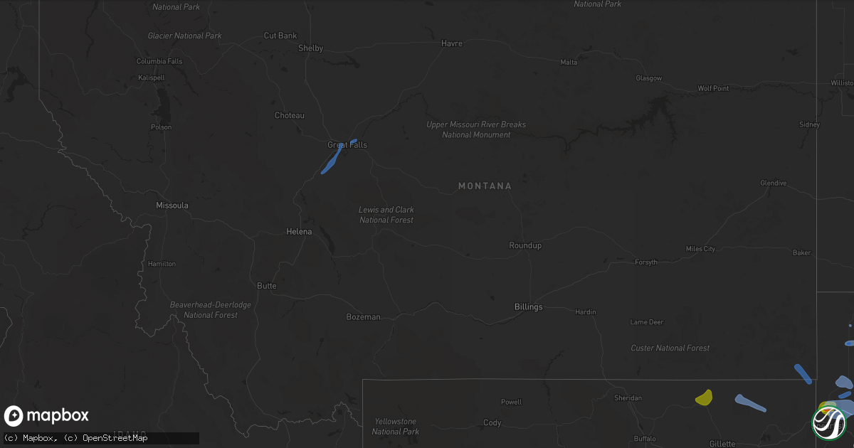
Hail Map in Montana on August 6, 2020
Get this storm
August 6 map
$229
one time, instant access
Download today. No call, no setup
Keep the $229
Bought the map and want the full workflow? Apply the entire $229 to a subscription within 7 days. None of it is wasted.
Every map, not just this one
This buys you this map. Subscription and you get every map we run, in the markets you choose from a few cities to whole states to nationwide. Plus real-time alerts the moment a storm fires.
Contact data
Name, contact info, occupancy, even credit band for addresses in the footprint. You go from where it hit to who to call.
Become the source they trust
Unlimited branding weather history reports on demand. You already have the documented answer ready for the property owner, and you are the one who showed up with it.
Property data and RoofTrace estimates
Pull up any address you have got, its value and the exact code rules for that jurisdiction, straight from One Click Code. Then RoofTrace estimates the squares, pitch, and roof value, priced the way you price.
Storm reports in Montana
Montana
| Date | Description |
|---|---|
| 08/06/20206:17 PM CDT | Tree damage including tree limb into house. |
| 08/06/20206:15 PM CDT | Large power pole snapped. |
| 08/06/20206:06 PM CDT | Ride at fair tipped over |
| 08/06/20205:30 PM CDT | Mesonet station ennm8 ennis raws. 59 mph wind gust. Time of event is estimated. |
| 08/06/20204:54 PM CDT | Mesonet station ekhm8... Elkhorn raws - 8 w townsend. |
| 08/06/20203:07 AM CDT | At 806 PM MDT, a severe thunderstorm was located near The Pines Rec Area, or 21 miles south of Glasgow, moving north at 10 mph. HAZARD...60 mph wind gusts and half dollar size hail. SOURCE...Radar indicated. IMPACT...Hail damage to vehicles is expected. Expect wind damage to roofs, siding, and trees. Locations impacted include... Fort Peck, Fort Peck Marina, Duck Creek Rec Area and Park Grove. |
| 08/06/20202:28 AM CDT | At 728 PM MDT, severe thunderstorms were located along a line extending from 11 miles east of Fort Shaw to 12 miles south of Great Falls, moving north at 45 mph. HAZARD...60 mph wind gusts. SOURCE...Radar indicated. IMPACT...Expect damage to roofs, siding, and trees. Locations impacted include... Great Falls, Black Eagle, Ulm, Malmstrom Afb, Sand Coulee, Stockett, Tracy, First Peoples Buffalo Jump State Park and Centerville. |
| 08/06/202012:09 AM CDT | At 506 PM MDT, a severe thunderstorm was located near Lockwood, or 7 miles southeast of Billings, moving east at 30 mph. Strongest storm is tracking along the Interstate 90/94, with strongest gusts expected east of Billings. HAZARD...60 mph wind gusts and nickel size hail. SOURCE...Radar indicated. IMPACT...Expect damage to roofs, siding, and trees. Locations impacted include... Billings, Lockwood, Billings Heights, Billings West End, Huntley, St. Xavier and Crow Indian Reservation. |
| 08/05/202011:57 PM CDT | At 457 PM MDT, a severe thunderstorm was located 12 miles northeast of Broadus, moving northeast at 5 mph. HAZARD...Quarter size hail and heavy rain. SOURCE...Radar indicated. IMPACT...Damage to vehicles is expected. Locations impacted include... Powderville. |
| 08/05/202011:50 PM CDT | Thunderstorm wind gust. |
| 08/05/202010:50 PM CDT | A tree was reported down across rattlesnake drive. |
| 08/05/202010:30 PM CDT | At 330 PM MDT, severe thunderstorms were located along a line extending from 21 miles east of Winifred to 9 miles east of Roy, moving northeast at 30 mph. HAZARD...60 mph wind gusts and quarter size hail. SOURCE...Radar indicated. IMPACT...Hail damage to vehicles is expected. Expect wind damage to roofs, siding, and trees. These severe thunderstorms will remain over mainly rural areas of northeastern Fergus County. |
| 08/05/20209:24 PM CDT | Time estimated from radar. |
| 08/05/20209:18 PM CDT | Mesonet station mtlom loma |
| 08/05/20208:30 PM CDT | Kgtf asos reports peak gust of 51kts at 0130z. Extensive blowing dust visible in fields northwest of the interstate. |
| 08/05/20208:07 PM CDT | Awos station k1im... India. |
| 08/05/20208:00 PM CDT | A local report indicates 60 MPH wind near ALZADA |
All States Impacted by Hail Map on August 6, 2020
Cities Impacted by Hail Map on August 6, 2020
- Belle Fourche, SD
- Crimora, VA
- Gordonsville, VA
- Keswick, VA
- Fort Defiance, VA
- Barboursville, VA
- Free Union, VA
- Grottoes, VA
- Louisa, VA
- Charlottesville, VA
- Weyers Cave, VA
- Crozet, VA
- Staunton, VA
- Verona, VA
- Mount Sidney, VA
- Earlysville, VA
- Orlando, FL
- Sterling, CO
- Vale, SD
- Nisland, SD
- Newell, SD
- Spearfish, SD
- Whitewood, SD
- Saint Onge, SD
- Buffalo, SD
- Piedmont, SD
- Sturgis, SD
- Rapid City, SD
- Black Hawk, SD
- Mud Butte, SD
- Fort Pierre, SD
- Hayes, SD
- Coon Rapids, IA
- Bayard, IA
- Audubon, IA
- Templeton, IA
- Dedham, IA
- Hulett, WY
- Weston, WY
- Devils Tower, WY
- Colby, KS
- Rexford, KS
- Selden, KS
- Caldwell, KS
- Milan, KS
- Bluff City, KS
- Austinville, VA
- Woodlawn, VA
- Ivanhoe, VA
- Galax, VA
- Fries, VA
- Ruckersville, VA
- Dyke, VA
- Powhatan, VA
- Goochland, VA
- Columbia, VA
- Cartersville, VA
- Boise City, OK
- Calhan, CO
- Rush, CO
- Ramah, CO
- Yoder, CO
- Merino, CO
- Hugo, CO
- Ordway, CO
- Olney Springs, CO
- Karval, CO
- Kit Carson, CO
- Haswell, CO
- Harrison, NE
- Creedmoor, NC
- Wake Forest, NC
- Crumpler, NC
- Jefferson, NC
- West Jefferson, NC
- Lansing, NC
- Grassy Creek, NC
- Adair, OK
- Pryor, OK
- Bluejacket, OK
- Vinita, OK
- Fort Laramie, WY
- Jay Em, WY
- Yoder, WY
- Gillette, WY
- Arvada, WY
- Recluse, WY
- Torrington, WY
- Van Tassell, WY
- Stinnett, TX
- Borger, TX
- Princeton, WV
- Patrick, SC
- Cheraw, SC
- Leasburg, NC
- Alzada, MT
- Cascade, MT
- Great Falls, MT
- Arlee, MT
- Solen, ND
- Flasher, ND
- Aladdin, WY
- Beulah, WY
- Newcastle, WY
- Pine Bluffs, WY
- Bushnell, NE
- Doswell, VA
- Beaverdam, VA
- Glen Allen, VA
- Montpelier, VA
- Ashland, VA
- Gate, OK
- North, VA
- Dutton, VA
- Cobbs Creek, VA
- Foster, VA
- Mathews, VA
- Boyes, MT
- Adel, IA
- Redfield, IA
- Stuart, IA
- Green Cove Springs, FL
- Okatie, SC
- Philip, SD
- Midland, SD
- Fork Union, VA
- Bremo Bluff, VA
- Wendell, NC
- Ree Heights, SD
- Highmore, SD
- Mill Hall, PA
- Sundance, WY
- Lemoyne, NE
- East Berlin, PA
- Wellsville, PA
- New Oxford, PA
- Ruther Glen, VA
- Loveland, CO
- Bellvue, CO
- Hardeeville, SC
- Ridgeland, SC
- Alma, GA
- Nicholls, GA
- Plattsmouth, NE
- Murray, NE
- Saint Charles, IA
- New Virginia, IA
- Bevington, IA
- Prole, IA
- Saint Marys, IA
- Wolf Creek, MT
- Zebulon, NC
- Dalton, GA
- Chatsworth, GA
- Presho, SD
- Kimball, SD
- Upton, WY
- Elkhorn, NE
- Omaha, NE
- Loganton, PA
- Saint Ignatius, MT
- Columbus, MT
- Big Timber, MT
- Reed Point, MT
- New Salem, ND
- Gann Valley, SD
- Madrid, IA
- Granger, IA
- Johnston, IA
- Ogden, IA
- Woodward, IA
- Polk City, IA
- Champion, NE
- Holyoke, CO
- Venango, NE
- Amherst, CO
- Grover, CO
- New Raymer, CO
- Rincon, GA
- Waycross, GA
- Blackshear, GA
- Clayhole, KY
- Middleburg, FL
- Winterset, IA
- Lock Haven, PA
- Beech Creek, PA
- Matheson, CO
- Winnsboro, SC
- Big Rock, VA
- Mouthcard, KY
- Grundy, VA
- Belcher, KY
- Elkhorn City, KY
- Lick Creek, KY
- Regina, KY
- Keystone, NE
- Ogallala, NE
- Rembert, SC
- Camden, SC
- Las Animas, CO
- Wright, WY
- Boys Town, NE
- Rolesville, NC
- Albemarle, NC
- Norwood, NC
- Canyon, TX
- Knightdale, NC
- Sparta, GA
- Crawfordville, GA
- Hinton, WV
- Wayside, WV
- Talcott, WV
- Forest Hill, WV
- Broadus, MT
- Tazewell, VA
- Okaton, SD
- Peyton, CO
- Reliance, SD
- Kennebec, SD
- Lower Brule, SD
- Oacoma, SD
- Pikeville, KY
- Lumberton, NC
- Fairmont, NC
- Rowland, NC
- Manchester, OK
- Medford, OK
- Great Falls, SC
- Heath Springs, SC
- Stephan, SD
- Welch, OK
- Dewy Rose, GA
- Bowdle, SD
- Hoven, SD
- Pukwana, SD
- Paxton, NE
- Grant, NE
- Pipestem, WV
- Padroni, CO
- Shelby, NC
- Lawndale, NC
- Lancaster, SC
- Claude, TX
- Axson, GA
- Agate, CO
- Bonner, MT
- Biddle, MT
- Menlo, IA
- Anton, CO
- Bastian, VA
- Sidney, NE
- Del Rio, TN
- Newport, TN
- Osage, WY
- Blackstone, VA
- Wilsons, VA
- Louisville, GA
- Bartow, GA
- Shields, ND
- Hammond, MT
- Harrold, SD
- Offutt Afb, NE
- Bellevue, NE
- Lamar, CO
- Rose, OK
- Salina, OK
- Pritchett, CO
- Columbia, NC
- Ford, VA
- Louisburg, NC
- Mount Gilead, NC
- Elberton, GA
- Crandall, GA
- Tatum, NM
- East Palatka, FL
- Goose Creek, SC
- Hanahan, SC
- Brandon, MN
- Evansville, MN
- McLaughlin, SD
- Fort Thompson, SD
- Clearmont, WY
- Wheatland, WY
- Woonsocket, SD
- Artesian, SD
- Wessington Springs, SD
- Linden, IA
- Panora, IA
- Dexter, IA
- Scranton, IA
- Jefferson, IA
- Spavinaw, OK
- Big Cabin, OK
- Enid, OK
- Calhoun, GA
- Pembroke, NC
- Fort Gibson, OK
- Deland, FL
- Apopka, FL
- Dupree, SD
- Glidden, IA
- Carroll, IA
- Millsboro, DE
- Letcher, SD
- Plankinton, SD
- Kenton, OK
- Renick, WV
- Cleveland, TN
- Old Fort, TN
- Bamberg, SC
- Waynesboro, GA
- Canton, GA
- Rowesville, SC
- Branchville, SC
- Hilliard, FL
- Folkston, GA
- Pierson, FL
- Lewellen, NE
- White Lake, SD
- Crawford, NE
- Iroquois, SD
- Bagley, IA
- Rippey, IA
- Weskan, KS
- Arapahoe, CO
- Iliff, CO
- Dahlgren, VA
- King George, VA
- Garden City, KS
- Raleigh, NC
- Cherokee, KS
- Girard, KS
- Pittsburg, KS
- Statesville, NC
- Durham, NC
- Ellenboro, NC
- Lenoir, NC
- Cherry Creek, SD
- Wall, SD
- La Vista, NE
- Woodland, PA
- Frenchville, PA
- Nickelsville, VA
- Lebanon, VA
- Bluefield, VA
- Rocky Gap, VA
- Flat Lick, KY
- Pence Springs, WV
- Ballard, WV
- Alderson, WV
- Buffalo, OK
- Millers Creek, NC
- State Road, NC
- Elkin, NC
- Morganton, NC
- Valdese, NC
- Skellytown, TX
- Ridgeway, SC
- Panhandle, TX
- Cumming, GA
- Denver City, TX
- Fort Stewart, GA
- Midville, GA
- Jesup, GA
- Coosawhatchie, SC
- Yemassee, SC
- Callahan, FL
- Almont, ND
- Raleigh, ND
- Ravalli, MT
- Van Meter, IA
- Hooper, NE
- Limon, CO
- Narrows, VA
- Bland, VA
- Winston Salem, NC
- Parrottsville, TN
- Mershon, GA
- Morriston, FL
- Norwood, GA
- Hinesville, GA
- Ludowici, GA
- Plains, TX
- Roy, MT
- Meadow, SD
- Dix, NE
- Manning, IA
- Harrisburg, NE
- Papillion, NE
- Wild Horse, CO
- Lynch Station, VA
- Youngsville, NC
- Franklinton, NC
- Aline, OK
- Mount Pleasant, NC
- Troy, VA
- Modoc, SC
- Douglas, GA
- Guyton, GA
- Miller, SD
- Rozet, WY
- Julesburg, CO
- Chamberlain, SD
- White Stone, VA
- Weems, VA
- Irvington, VA
- Shelbiana, KY
- Grand Junction, IA
- Summerville, GA
- Morven, NC
- Tahlequah, OK
- Hulbert, OK
- Advance, NC
- Clemmons, NC
- Bunch, OK
- Welling, OK
- Ellabell, GA
- Wellborn, FL
- Lusk, WY
- Gurley, NE
- Patterson, IA
- Cumming, IA
- Norwalk, IA
- Howard, PA
- Blanchard, PA
- Tribune, KS
- Simla, CO
- Ferrum, VA
- Thurmond, NC
- Peggs, OK
- Locust Grove, OK
- Camden, NC
- Moyock, NC
- Olar, SC
- Ehrhardt, SC
- Rocky Face, GA
- Greycliff, MT
- Java, SD
- Alpena, SD
- Union Center, SD
- Vivian, SD
- Springfield, GA
- Haxtun, CO
- Casar, NC
- Connelly Springs, NC
- Clayton, NC
- Beckley, WV
- Floyd, VA
- Yale, IA
- Vian, OK
- De Leon Springs, FL
- Loxahatchee, FL


