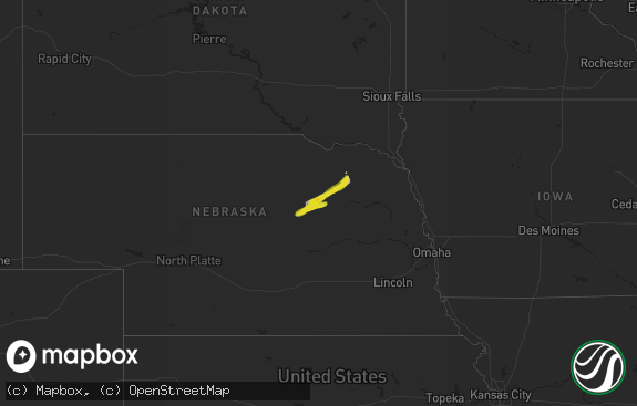
Hail Map in California on July 30, 2022
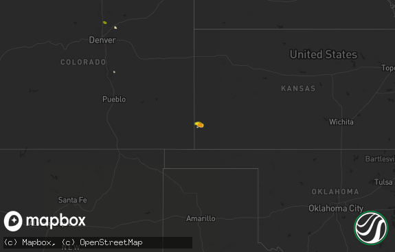
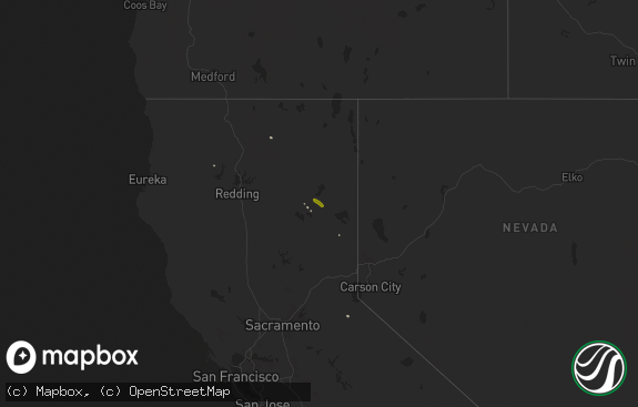
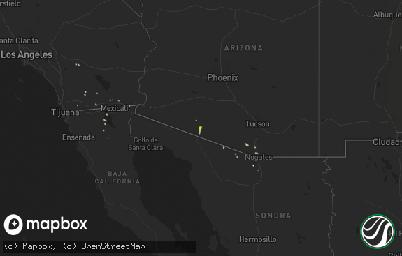
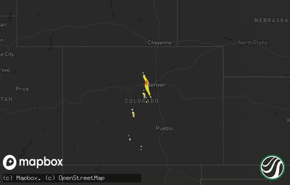
The weather event in California on July 30, 2022 includes Hail and Wind maps. 16 states and 172 cities were impacted and suffered possible damage. The total estimated number of properties impacted is 0.

Hail
Wind
0
Estimated number of impacted properties by a 1.00" hail or larger0
Estimated number of impacted properties by a 1.75" hail or larger0
Estimated number of impacted properties by a 2.50" hail or largerStorm reports in California
California
| Date | Description |
|---|---|
| 07/30/20226:18 PM CDT | California highway patrol report of a broken powerpole and lines hanging about 6 feet off the ground. |
| 07/30/20225:24 PM CDT | California highway patrol reported a powerline down due to thunderstorm winds. |
| 07/30/20225:08 PM CDT | Site at newberry elementary school gusted to 61 mph at 308pm. Data courtesy of earthnetworks. |
| 07/30/20223:06 AM CDT | At 806 PM PDT, a severe thunderstorm was located 11 miles southeast of Olancha, moving west at 20 mph. HAZARD...60 mph wind gusts. SOURCE...Radar indicated. IMPACT...Expect damage to roofs, trees, and power lines. Blowing dust may reduce visibilities on area roadways including Highway 395. Locations impacted include... Olancha and Cartago. |
| 07/30/20221:57 AM CDT | At 656 PM PDT, a severe thunderstorm was located over Olancha, and is nearly stationary. HAZARD...60 mph wind gusts. SOURCE...Radar indicated. IMPACT...Expect damage to roofs, trees, and power lines. Locations impacted include... Highway 395, Olancha, and Cartago. |
| 07/29/202211:58 PM CDT | At 458 PM PDT, a severe thunderstorm was located 7 miles east of Hwy 173 Between Lake Arrowhead And Hesperia, or 8 miles northeast of Lake Arrowhead, moving southwest at 25 mph. HAZARD...60 mph wind gusts and quarter size hail. SOURCE...Radar indicated. IMPACT...Hail damage to vehicles is expected. Expect wind damage to roofs, siding, and trees. Locations impacted include... San Bernardino, Apple Valley, Lake Arrowhead, Lucerne Valley, Highland, Running Springs, Skyforest, Hwy 18 Between Running Springs And Skyforest, Hwy 18 Between Running Springs And Big Bear and Hiwy 330 Between San Bernardino And Running Springs. |
| 07/29/202211:46 PM CDT | At 446 PM PDT, a severe thunderstorm was located near I-15 Between Victorville And Barstow, moving southwest at 10 mph. HAZARD...60 mph wind gusts and penny size hail. SOURCE...Radar indicated. IMPACT...Expect damage to roofs, siding, and trees. Locations impacted include... Victorville, Apple Valley, I-15 Between Victorville And Barstow and Oro Grande. |
| 07/29/202211:26 PM CDT | Five mile raws sensor measured 64 mph winds from nearby thunderstorm activity. |
| 07/29/202210:40 PM CDT | At 340 PM PDT, a severe thunderstorm was located 13 miles east of Owl Canyon Campground, or 14 miles south of Fort Irwin, moving west at 10 mph. HAZARD...60 mph wind gusts. SOURCE...Radar and surface observations. IMPACT...Expect damage to roofs and trees as well as powerlines. Blowing dust may reduce visibility on area roadways. Locations impacted include... Barstow, Daggett, I-15 Between Victorville And Barstow, Owl Canyon Campground, Hwy 247 Between Lucerne Valley And Barstow, Lenwood and Nebo Center.This includes the following highways... Interstate 15 in California between mile markers 81 and 96. Interstate 40 in California between mile markers 1 and 20. |
| 07/29/20229:46 PM CDT | At 246 PM PDT, a severe thunderstorm was located 8 miles northeast of Holtville, or 18 miles east of Imperial, moving west at 20 mph. HAZARD...60 mph wind gusts. SOURCE...Radar indicated. IMPACT...Expect damage to roofs, siding, and trees. Locations impacted include... Imperial, Holtville and Alamorio. This includes the following highways...CA Interstate 8 between mile markers 45 and 60.CA Route 78 between mile markers 18 and 35.CA Route 111 between mile markers 10 and 17. |
All States Impacted by Hail Map on July 30, 2022
Cities Impacted by Hail Map on July 30, 2022
- Iroquois, SD
- Tuttle, ND
- Cleveland, ND
- Pingree, ND
- Woodworth, ND
- Cove, AR
- Bowdon, ND
- Nashoba, OK
- Bowie, TX
- Sheridan, AR
- Prairie, MS
- Pearce, AZ
- Branchville, SC
- Tucson, AZ
- Green Valley, AZ
- Fouke, AR
- Carthage, SD
- Correll, MN
- Ortonville, MN
- Robinson, ND
- Danvers, MN
- Holloway, MN
- Benson, MN
- Clayton, NM
- Phoenix, AZ
- Wilmar, AR
- Clarksdale, MS
- Lyon, MS
- Garland City, AR
- Scottsdale, AZ
- Fort Mcdowell, AZ
- Mesa, AZ
- Ardmore, TN
- Dellrose, TN
- Cordesville, SC
- Mcdonough, GA
- Carthage, AR
- Dumont, MN
- Carrington, ND
- Breckenridge, TX
- Florence, SD
- Watertown, SD
- Sahuarita, AZ
- Atlanta, GA
- Kershaw, SC
- Bethune, SC
- Waterloo, AL
- Anderson, SC
- Jacksboro, TX
- Oldham, SD
- Rison, AR
- Winkelman, AZ
- Dalton, MN
- Gainesville, TX
- Delight, AR
- Murfreesboro, AR
- Ozan, AR
- Fayette, AL
- Sulligent, AL
- Glendale, AZ
- Grenville, NM
- Bryson, TX
- Goodrich, ND
- Hurdsfield, ND
- New Rockford, ND
- De Smet, SD
- Twain, CA
- Murdock, MN
- Clontarf, MN
- Hancock, MN
- Lithia Springs, GA
- Eatonton, GA
- Buckhead, GA
- Sumter, SC
- Harvey, ND
- Cathay, ND
- Cassatt, SC
- Prospect, TN
- Dalhart, TX
- Monetta, SC
- Batesburg, SC
- Clinton, MN
- Chokio, MN
- Chaseley, ND
- Jamestown, SC
- Paradise Valley, AZ
- De Queen, AR
- Cave Creek, AZ
- Hampton, AR
- Smyrna, GA
- Vernon, AL
- Sheyenne, ND
- Wahpeton, ND
- Eagletown, OK
- Kearny, AZ
- Amado, AZ
- Cubero, NM
- Leupp, AZ
- Lucerne Valley, CA
- Apple Valley, CA
- Big Bear City, CA
- Mableton, GA
- Austell, GA
- Lewisville, AR
- Winterville, GA
- Cotton Valley, LA
- Hugo, OK
- Grant, OK
- Scranton, SC
- Moncks Corner, SC
- Summerville, SC
- Piedmont, AL
- Felt, OK
- Texarkana, AR
- Texarkana, TX
- Smithville, OK
- Tintah, MN
- Wheaton, MN
- Fessenden, ND
- Bonneau, SC
- Denhoff, ND
- Mcclusky, ND
- Talihina, OK
- Honobia, OK
- Pope, MS
- Courtland, MS
- Lockesburg, AR
- Waskom, TX
- De Berry, TX
- Greensboro, GA
- Marietta, GA
- Rowland, NC
- Maxton, NC
- Fairmont, NC
- Hamer, SC
- Monticello, AR
- Hope, AR
- Enid, MS
- Athens, GA
- Cookville, TX
- Mount Pleasant, TX
- Timmonsville, SC
- Winslow, AZ
- Stephens, AR
- Rosston, AR
- Waldo, AR
- Tombstone, AZ
- Ridge Spring, SC
- Valliant, OK
- Ringold, OK
- Cades, SC
- McNeal, AZ
- Alexander, ND
- New Town, ND
- Stanley, ND
- Keene, ND
- Parshall, ND
- Killdeer, ND
- Ray, ND
- Roseglen, ND
- Epping, ND
- Williston, ND
- Mandaree, ND
- Ryder, ND
- Makoti, ND
- Watford City, ND
- Garrison, ND
- Tioga, ND
- Ross, ND
- Plaza, ND
- New River, AZ
- Carefree, AZ


