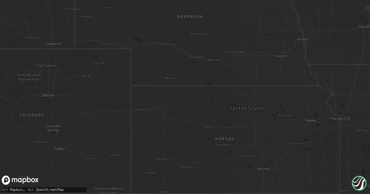
Hail Map in South Carolina on July 30, 2022
Get this storm
July 30 map
$229
one time, instant access
Download today. No call, no setup
Keep the $229
Bought the map and want the full workflow? Apply the entire $229 to a subscription within 7 days. None of it is wasted.
Every map, not just this one
This buys you this map. Subscription and you get every map we run, in the markets you choose from a few cities to whole states to nationwide. Plus real-time alerts the moment a storm fires.
Contact data
Name, contact info, occupancy, even credit band for addresses in the footprint. You go from where it hit to who to call.
Become the source they trust
Unlimited branding weather history reports on demand. You already have the documented answer ready for the property owner, and you are the one who showed up with it.
Property data and RoofTrace estimates
Pull up any address you have got, its value and the exact code rules for that jurisdiction, straight from One Click Code. Then RoofTrace estimates the squares, pitch, and roof value, priced the way you price.
Storm reports in South Carolina
South Carolina
| Date | Description |
|---|---|
| 07/30/20226:10 PM CDT | Tree reported blown down across road at 1914 shulerville road. Event time estimated based on radar data. |
| 07/30/20224:50 PM CDT | Two trees down near cely rd... Smoak dr... And circle rd. |
| 07/30/20224:50 PM CDT | Tree fell on a mobile home trapping residents inside. No injuries as all occupants made it out of the residence. |
| 07/30/20224:32 PM CDT | 2 trees blown down by the storm. |
| 07/30/20221:44 AM CDT | At 644 PM EDT, severe thunderstorms were located along a line extending from near Pinopolis to 6 miles west of Hampton Plantation State Park, moving northeast at 15 mph. HAZARD...60 mph wind gusts. SOURCE...Radar indicated. IMPACT...Expect damage to trees and powerlines. Locations impacted include: Moncks Corner, Bonneau, Jamestown, Southern Lake Moultrie, Bonneau Beach, Old Santee Canal State Park and Pinopolis. |
| 07/30/202212:30 AM CDT | At 530 PM EDT, a severe thunderstorm was located near Anderson, or near Northlake, moving northeast at 5 mph. HAZARD...60 mph wind gusts and nickel size hail. SOURCE...Radar indicated. IMPACT...Expect damage to trees and power lines. Locations impacted include... Anderson, Belton, Northlake and Anderson Airport. |
| 07/29/202211:31 PM CDT | At 430 PM EDT, a severe thunderstorm was located near Ridge Spring, or 8 miles south of Batesburg-Leesville, moving southeast at 5 mph. HAZARD...60 mph wind gusts and quarter size hail. SOURCE...Radar indicated. IMPACT...Hail damage to vehicles is expected. Expect wind damage to trees and powerlines. Locations impacted include... Batesburg-Leesville, Ridge Spring, Monetta, Hibernia, Kneece and New Holland.This includes Interstate 20 in South Carolina between mile markers 22and 37. |
All States Impacted by Hail Map on July 30, 2022
Cities Impacted by Hail Map on July 30, 2022
- Iroquois, SD
- Tuttle, ND
- Cleveland, ND
- Pingree, ND
- Woodworth, ND
- Cove, AR
- Bowdon, ND
- Nashoba, OK
- Bowie, TX
- Sheridan, AR
- Prairie, MS
- Pearce, AZ
- Branchville, SC
- Tucson, AZ
- Green Valley, AZ
- Fouke, AR
- Carthage, SD
- Correll, MN
- Ortonville, MN
- Robinson, ND
- Danvers, MN
- Holloway, MN
- Benson, MN
- Clayton, NM
- Phoenix, AZ
- Wilmar, AR
- Clarksdale, MS
- Lyon, MS
- Garland City, AR
- Scottsdale, AZ
- Fort Mcdowell, AZ
- Mesa, AZ
- Ardmore, TN
- Dellrose, TN
- Cordesville, SC
- Mcdonough, GA
- Carthage, AR
- Dumont, MN
- Carrington, ND
- Breckenridge, TX
- Florence, SD
- Watertown, SD
- Sahuarita, AZ
- Atlanta, GA
- Kershaw, SC
- Bethune, SC
- Waterloo, AL
- Anderson, SC
- Jacksboro, TX
- Oldham, SD
- Rison, AR
- Winkelman, AZ
- Dalton, MN
- Gainesville, TX
- Delight, AR
- Murfreesboro, AR
- Ozan, AR
- Fayette, AL
- Sulligent, AL
- Glendale, AZ
- Grenville, NM
- Bryson, TX
- Goodrich, ND
- Hurdsfield, ND
- New Rockford, ND
- De Smet, SD
- Twain, CA
- Murdock, MN
- Clontarf, MN
- Hancock, MN
- Lithia Springs, GA
- Eatonton, GA
- Buckhead, GA
- Sumter, SC
- Harvey, ND
- Cathay, ND
- Cassatt, SC
- Prospect, TN
- Dalhart, TX
- Monetta, SC
- Batesburg, SC
- Clinton, MN
- Chokio, MN
- Chaseley, ND
- Jamestown, SC
- Paradise Valley, AZ
- De Queen, AR
- Cave Creek, AZ
- Hampton, AR
- Smyrna, GA
- Vernon, AL
- Sheyenne, ND
- Wahpeton, ND
- Eagletown, OK
- Kearny, AZ
- Amado, AZ
- Cubero, NM
- Leupp, AZ
- Lucerne Valley, CA
- Apple Valley, CA
- Big Bear City, CA
- Mableton, GA
- Austell, GA
- Lewisville, AR
- Winterville, GA
- Cotton Valley, LA
- Hugo, OK
- Grant, OK
- Scranton, SC
- Moncks Corner, SC
- Summerville, SC
- Piedmont, AL
- Felt, OK
- Texarkana, AR
- Texarkana, TX
- Smithville, OK
- Tintah, MN
- Wheaton, MN
- Fessenden, ND
- Bonneau, SC
- Denhoff, ND
- Mcclusky, ND
- Talihina, OK
- Honobia, OK
- Pope, MS
- Courtland, MS
- Lockesburg, AR
- Waskom, TX
- De Berry, TX
- Greensboro, GA
- Marietta, GA
- Rowland, NC
- Maxton, NC
- Fairmont, NC
- Hamer, SC
- Monticello, AR
- Hope, AR
- Enid, MS
- Athens, GA
- Cookville, TX
- Mount Pleasant, TX
- Timmonsville, SC
- Winslow, AZ
- Stephens, AR
- Rosston, AR
- Waldo, AR
- Tombstone, AZ
- Ridge Spring, SC
- Valliant, OK
- Ringold, OK
- Cades, SC
- McNeal, AZ
- Alexander, ND
- New Town, ND
- Stanley, ND
- Keene, ND
- Parshall, ND
- Killdeer, ND
- Ray, ND
- Roseglen, ND
- Epping, ND
- Williston, ND
- Mandaree, ND
- Ryder, ND
- Makoti, ND
- Watford City, ND
- Garrison, ND
- Tioga, ND
- Ross, ND
- Plaza, ND
- New River, AZ
- Carefree, AZ


