Hail Map in North Dakota on July 30, 2022
Get this storm
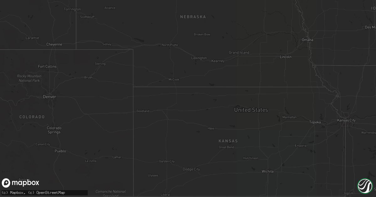
July 30 map
$229
one time, instant access
Download today. No call, no setup
Keep the $229
Bought the map and want the full workflow? Apply the entire $229 to a subscription within 7 days. None of it is wasted.
Every map, not just this one
This buys you this map. Subscription and you get every map we run, in the markets you choose from a few cities to whole states to nationwide. Plus real-time alerts the moment a storm fires.
Contact data
Name, contact info, occupancy, even credit band for addresses in the footprint. You go from where it hit to who to call.
Become the source they trust
Unlimited branding weather history reports on demand. You already have the documented answer ready for the property owner, and you are the one who showed up with it.
Property data and RoofTrace estimates
Pull up any address you have got, its value and the exact code rules for that jurisdiction, straight from One Click Code. Then RoofTrace estimates the squares, pitch, and roof value, priced the way you price.
Storm reports in North Dakota
North Dakota
| Date | Description |
|---|---|
| 07/30/20223:45 AM CDT | At 845 PM CDT/745 PM MDT/, severe thunderstorms were located along a line extending from 7 miles west of Ross to 12 miles northwest of 4 Bears Lodge to 13 miles east of Watford City, moving east at 35 mph. HAZARD...60 mph wind gusts. SOURCE...Radar indicated. IMPACT...Expect damage to roofs, siding, and trees. Severe thunderstorms will be near... Ross and 4 Bears Lodge around 900 PM CDT. Stanley, New Town and Mandaree around 910 PM CDT. Palermo and Belden around 920 PM CDT. Blaisdell and Van Hook Park around 935 PM CDT.Other locations impacted by these severe thunderstorms include SkunkCreek Bay Recreation Area, Keene, White Earth Bay Recreation Area,Pouch Point Recreation Area, Deep Water Creek Recreation Area,Charlson, Parshall Bay Recreation Area, Johnsons Corner and WhiteEarth. |
| 07/30/20221:20 AM CDT | Several large 3 to 5 inch tree branches broken down around a farmstead. Three sections of stock fencing blown down. Time estimated based on radar. |
| 07/30/202212:55 AM CDT | Carrington airport. |
| 07/29/20229:15 PM CDT | A local report indicates 65 MPH wind near 1 S NEW TOWN |
| 07/29/20229:05 PM CDT | A local report indicates 60 MPH wind near NEW TOWN |
| 07/29/20228:57 PM CDT | Delayed report from mountrail county emergency manager. Estimated wind gusts to 60 mph. |
| 07/29/20228:15 PM CDT | A local report indicates 60 MPH wind near 14 SSE EPPING |
| 07/29/20227:34 PM CDT | Asos station kxwa williston airport. |
All States Impacted by Hail Map on July 30, 2022
Cities Impacted by Hail Map on July 30, 2022
- Iroquois, SD
- Tuttle, ND
- Cleveland, ND
- Pingree, ND
- Woodworth, ND
- Cove, AR
- Bowdon, ND
- Nashoba, OK
- Bowie, TX
- Sheridan, AR
- Prairie, MS
- Pearce, AZ
- Branchville, SC
- Tucson, AZ
- Green Valley, AZ
- Fouke, AR
- Carthage, SD
- Correll, MN
- Ortonville, MN
- Robinson, ND
- Danvers, MN
- Holloway, MN
- Benson, MN
- Clayton, NM
- Phoenix, AZ
- Wilmar, AR
- Clarksdale, MS
- Lyon, MS
- Garland City, AR
- Scottsdale, AZ
- Fort Mcdowell, AZ
- Mesa, AZ
- Ardmore, TN
- Dellrose, TN
- Cordesville, SC
- Mcdonough, GA
- Carthage, AR
- Dumont, MN
- Carrington, ND
- Breckenridge, TX
- Florence, SD
- Watertown, SD
- Sahuarita, AZ
- Atlanta, GA
- Kershaw, SC
- Bethune, SC
- Waterloo, AL
- Anderson, SC
- Jacksboro, TX
- Oldham, SD
- Rison, AR
- Winkelman, AZ
- Dalton, MN
- Gainesville, TX
- Delight, AR
- Murfreesboro, AR
- Ozan, AR
- Fayette, AL
- Sulligent, AL
- Glendale, AZ
- Grenville, NM
- Bryson, TX
- Goodrich, ND
- Hurdsfield, ND
- New Rockford, ND
- De Smet, SD
- Twain, CA
- Murdock, MN
- Clontarf, MN
- Hancock, MN
- Lithia Springs, GA
- Eatonton, GA
- Buckhead, GA
- Sumter, SC
- Harvey, ND
- Cathay, ND
- Cassatt, SC
- Prospect, TN
- Dalhart, TX
- Monetta, SC
- Batesburg, SC
- Clinton, MN
- Chokio, MN
- Chaseley, ND
- Jamestown, SC
- Paradise Valley, AZ
- De Queen, AR
- Cave Creek, AZ
- Hampton, AR
- Smyrna, GA
- Vernon, AL
- Sheyenne, ND
- Wahpeton, ND
- Eagletown, OK
- Kearny, AZ
- Amado, AZ
- Cubero, NM
- Leupp, AZ
- Lucerne Valley, CA
- Apple Valley, CA
- Big Bear City, CA
- Mableton, GA
- Austell, GA
- Lewisville, AR
- Winterville, GA
- Cotton Valley, LA
- Hugo, OK
- Grant, OK
- Scranton, SC
- Moncks Corner, SC
- Summerville, SC
- Piedmont, AL
- Felt, OK
- Texarkana, AR
- Texarkana, TX
- Smithville, OK
- Tintah, MN
- Wheaton, MN
- Fessenden, ND
- Bonneau, SC
- Denhoff, ND
- Mcclusky, ND
- Talihina, OK
- Honobia, OK
- Pope, MS
- Courtland, MS
- Lockesburg, AR
- Waskom, TX
- De Berry, TX
- Greensboro, GA
- Marietta, GA
- Rowland, NC
- Maxton, NC
- Fairmont, NC
- Hamer, SC
- Monticello, AR
- Hope, AR
- Enid, MS
- Athens, GA
- Cookville, TX
- Mount Pleasant, TX
- Timmonsville, SC
- Winslow, AZ
- Stephens, AR
- Rosston, AR
- Waldo, AR
- Tombstone, AZ
- Ridge Spring, SC
- Valliant, OK
- Ringold, OK
- Cades, SC
- McNeal, AZ
- Alexander, ND
- New Town, ND
- Stanley, ND
- Keene, ND
- Parshall, ND
- Killdeer, ND
- Ray, ND
- Roseglen, ND
- Epping, ND
- Williston, ND
- Mandaree, ND
- Ryder, ND
- Makoti, ND
- Watford City, ND
- Garrison, ND
- Tioga, ND
- Ross, ND
- Plaza, ND
- New River, AZ
- Carefree, AZ


