Hail Map in Texas on July 30, 2022
Get this storm
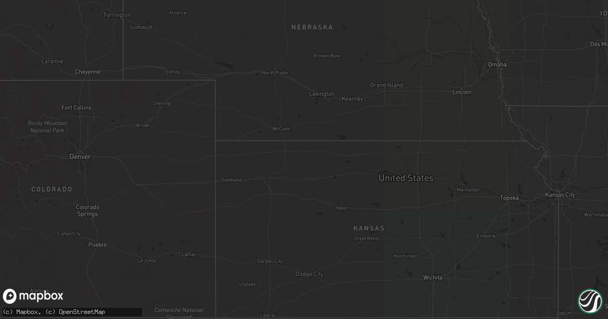
July 30 map
$229
one time, instant access
Download today. No call, no setup
Keep the $229
Bought the map and want the full workflow? Apply the entire $229 to a subscription within 7 days. None of it is wasted.
Every map, not just this one
This buys you this map. Subscription and you get every map we run, in the markets you choose from a few cities to whole states to nationwide. Plus real-time alerts the moment a storm fires.
Contact data
Name, contact info, occupancy, even credit band for addresses in the footprint. You go from where it hit to who to call.
Become the source they trust
Unlimited branding weather history reports on demand. You already have the documented answer ready for the property owner, and you are the one who showed up with it.
Property data and RoofTrace estimates
Pull up any address you have got, its value and the exact code rules for that jurisdiction, straight from One Click Code. Then RoofTrace estimates the squares, pitch, and roof value, priced the way you price.
Storm reports in Texas
Texas
| Date | Description |
|---|---|
| 07/30/20223:28 AM CDT | At 828 PM CDT, a severe thunderstorm was located 5 miles southwest of Dalhart, moving east at 10 mph. HAZARD...60 mph wind gusts and quarter size hail. SOURCE...Radar indicated. IMPACT...Minor damage to roofs, siding, and trees is possible. Hail damage to vehicles is expected. Locations impacted include... Dalhart, Hartley and Conlen. |
| 07/30/20223:17 AM CDT | At 817 PM CDT, a severe thunderstorm was located 7 miles southeast of Deberry, or 17 miles east of Carthage, moving southeast at 15 mph. HAZARD...60 mph wind gusts and quarter size hail. SOURCE...Radar indicated. IMPACT...Hail damage to vehicles is expected. Expect wind damage to roofs, siding, and trees. Locations impacted include... Stonewall, Deberry, Keachi, Longstreet, Keat Chie, Midyett, Kickapoo and Front. |
| 07/29/202211:35 PM CDT | At 435 PM MDT, a severe thunderstorm was located near Clayton, moving east at 10 mph. HAZARD...Ping pong ball size hail and 60 mph wind gusts. SOURCE...Radar indicated. IMPACT...People and animals outdoors will be injured. Expect hail damage to roofs, siding, windows, and vehicles. Expect wind damage to roofs, siding, and trees. Locations impacted include... Clayton.This includes Highway 64 between Mile Markers 426 and 429. |
| 07/29/20228:17 PM CDT | A tree was downed across a portion of highway 79 near bethany. |
All States Impacted by Hail Map on July 30, 2022
Cities Impacted by Hail Map on July 30, 2022
- Iroquois, SD
- Tuttle, ND
- Cleveland, ND
- Pingree, ND
- Woodworth, ND
- Cove, AR
- Bowdon, ND
- Nashoba, OK
- Bowie, TX
- Sheridan, AR
- Prairie, MS
- Pearce, AZ
- Branchville, SC
- Tucson, AZ
- Green Valley, AZ
- Fouke, AR
- Carthage, SD
- Correll, MN
- Ortonville, MN
- Robinson, ND
- Danvers, MN
- Holloway, MN
- Benson, MN
- Clayton, NM
- Phoenix, AZ
- Wilmar, AR
- Clarksdale, MS
- Lyon, MS
- Garland City, AR
- Scottsdale, AZ
- Fort Mcdowell, AZ
- Mesa, AZ
- Ardmore, TN
- Dellrose, TN
- Cordesville, SC
- Mcdonough, GA
- Carthage, AR
- Dumont, MN
- Carrington, ND
- Breckenridge, TX
- Florence, SD
- Watertown, SD
- Sahuarita, AZ
- Atlanta, GA
- Kershaw, SC
- Bethune, SC
- Waterloo, AL
- Anderson, SC
- Jacksboro, TX
- Oldham, SD
- Rison, AR
- Winkelman, AZ
- Dalton, MN
- Gainesville, TX
- Delight, AR
- Murfreesboro, AR
- Ozan, AR
- Fayette, AL
- Sulligent, AL
- Glendale, AZ
- Grenville, NM
- Bryson, TX
- Goodrich, ND
- Hurdsfield, ND
- New Rockford, ND
- De Smet, SD
- Twain, CA
- Murdock, MN
- Clontarf, MN
- Hancock, MN
- Lithia Springs, GA
- Eatonton, GA
- Buckhead, GA
- Sumter, SC
- Harvey, ND
- Cathay, ND
- Cassatt, SC
- Prospect, TN
- Dalhart, TX
- Monetta, SC
- Batesburg, SC
- Clinton, MN
- Chokio, MN
- Chaseley, ND
- Jamestown, SC
- Paradise Valley, AZ
- De Queen, AR
- Cave Creek, AZ
- Hampton, AR
- Smyrna, GA
- Vernon, AL
- Sheyenne, ND
- Wahpeton, ND
- Eagletown, OK
- Kearny, AZ
- Amado, AZ
- Cubero, NM
- Leupp, AZ
- Lucerne Valley, CA
- Apple Valley, CA
- Big Bear City, CA
- Mableton, GA
- Austell, GA
- Lewisville, AR
- Winterville, GA
- Cotton Valley, LA
- Hugo, OK
- Grant, OK
- Scranton, SC
- Moncks Corner, SC
- Summerville, SC
- Piedmont, AL
- Felt, OK
- Texarkana, AR
- Texarkana, TX
- Smithville, OK
- Tintah, MN
- Wheaton, MN
- Fessenden, ND
- Bonneau, SC
- Denhoff, ND
- Mcclusky, ND
- Talihina, OK
- Honobia, OK
- Pope, MS
- Courtland, MS
- Lockesburg, AR
- Waskom, TX
- De Berry, TX
- Greensboro, GA
- Marietta, GA
- Rowland, NC
- Maxton, NC
- Fairmont, NC
- Hamer, SC
- Monticello, AR
- Hope, AR
- Enid, MS
- Athens, GA
- Cookville, TX
- Mount Pleasant, TX
- Timmonsville, SC
- Winslow, AZ
- Stephens, AR
- Rosston, AR
- Waldo, AR
- Tombstone, AZ
- Ridge Spring, SC
- Valliant, OK
- Ringold, OK
- Cades, SC
- McNeal, AZ
- Alexander, ND
- New Town, ND
- Stanley, ND
- Keene, ND
- Parshall, ND
- Killdeer, ND
- Ray, ND
- Roseglen, ND
- Epping, ND
- Williston, ND
- Mandaree, ND
- Ryder, ND
- Makoti, ND
- Watford City, ND
- Garrison, ND
- Tioga, ND
- Ross, ND
- Plaza, ND
- New River, AZ
- Carefree, AZ


