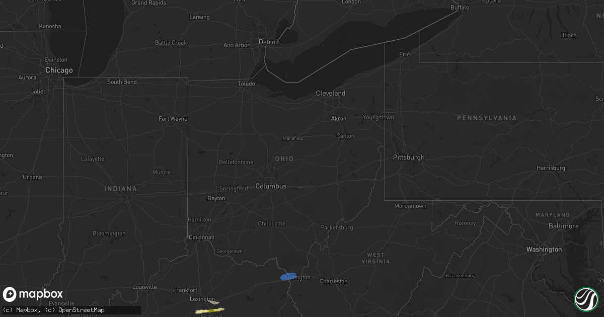
Hail Map in Ohio on February 28, 2024
Get this storm
February 28 map
$229
one time, instant access
Download today. No call, no setup
Keep the $229
Bought the map and want the full workflow? Apply the entire $229 to a subscription within 7 days. None of it is wasted.
Every map, not just this one
This buys you this map. Subscription and you get every map we run, in the markets you choose from a few cities to whole states to nationwide. Plus real-time alerts the moment a storm fires.
Contact data
Name, contact info, occupancy, even credit band for addresses in the footprint. You go from where it hit to who to call.
Become the source they trust
Unlimited branding weather history reports on demand. You already have the documented answer ready for the property owner, and you are the one who showed up with it.
Property data and RoofTrace estimates
Pull up any address you have got, its value and the exact code rules for that jurisdiction, straight from One Click Code. Then RoofTrace estimates the squares, pitch, and roof value, priced the way you price.
Storm reports in Ohio
Ohio
| Date | Description |
|---|---|
| 02/28/20246:30 AM CST | Dot reported a downed tree along state route 148 through armstrongs mills. Time estimated based on radar. |
| 02/28/20246:28 AM CST | Report and photos of damage to barn along pugh ridge road. Time estimated based on radar. |
| 02/28/20246:27 AM CST | Dot reported tree down along us 250 near harrisville. Time estimated based on radar. |
| 02/28/20246:26 AM CST | Dot reports multiple trees down around beallsville. Time estimated based on radar. |
| 02/28/20246:25 AM CST | Nws pittsburgh... Pa storm survey team found ef2 storm damage in malaga township in monroe county... Oh. Maximum wind gust was estimated at 120mph along state route 800 |
| 02/28/20246:24 AM CST | Dot reporting multiple trees down along state route 26 through ozark. Time estimated based on radar. |
| 02/28/20246:20 AM CST | Multiple lines down blocking county road 1. |
| 02/28/20246:20 AM CST | Public report picture showing multiple trees blown over along county road 2 in monroe county. Time estimated based on radar. |
| 02/28/20246:20 AM CST | Public picture showing a line trees completely uprooted with a couple others pine snapped. Time estimated based on radar. |
| 02/28/20246:20 AM CST | Emergency management reporting multiple barns destroyed... Roofs blown off and power line issues around ozark in the southwest corner of sunsbury township. Time estimat |
| 02/28/20246:06 AM CST | Dot reported downed tree along state route 799 at the 5 mile marker near freeport. Time estimated based on radar. |
All States Impacted by Hail Map on February 28, 2024
Cities Impacted by Hail Map on February 28, 2024
- Three Oaks, MI
- Sawyer, MI
- Buchanan, MI
- New Troy, MI
- Bridgman, MI
- Baroda, MI
- Dowagiac, MI
- Decatur, MI
- Hawesville, KY
- Philpot, KY
- Reynolds Station, KY
- Richmond, KY
- Lexington, KY
- Nicholasville, KY
- Ashland, KY
- Catlettsburg, KY
- Chesapeake, OH
- Ironton, OH
- South Point, OH
- Kenova, WV
- Huntington, WV
- Ceredo, WV
- Argillite, KY
- Winchester, KY
- Waco, KY
- Muscle Shoals, AL
- Tuscumbia, AL
- Leighton, AL
- Town Creek, AL
- Kingston, TN
- Loudon, TN
- Lenoir City, TN
- Farragut, TN
- Louisville, TN
- Friendsville, TN
- Knoxville, TN
- Rockford, TN
- Alcoa, TN
- Maryville, TN
- Seymour, TN
- Clay City, KY
- Lancaster, KY
- Magnolia, KY
- Sevierville, TN
- Atlanta, GA
- Norcross, GA
- Lilburn, GA
- Tucker, GA
- Stone Mountain, GA
- Union, SC
- Buffalo, SC


