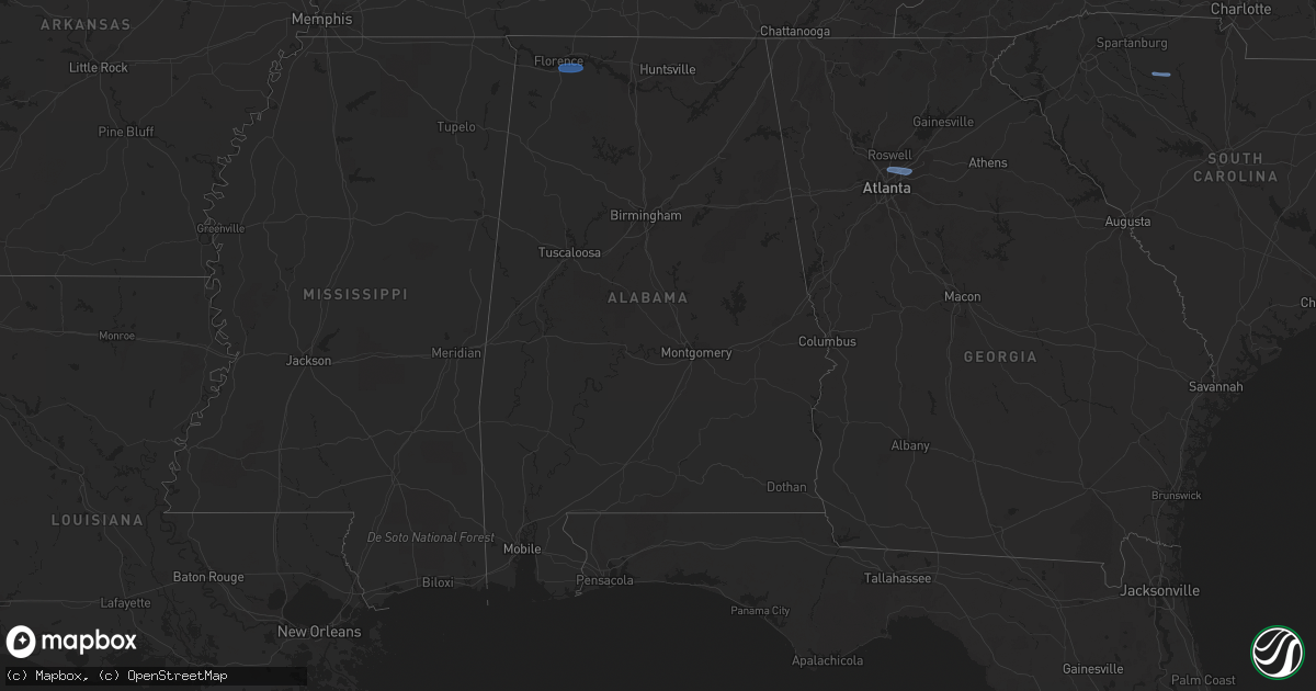
Hail Map in Alabama on February 28, 2024
Get this storm
February 28 map
$229
one time, instant access
Download today. No call, no setup
Keep the $229
Bought the map and want the full workflow? Apply the entire $229 to a subscription within 7 days. None of it is wasted.
Every map, not just this one
This buys you this map. Subscription and you get every map we run, in the markets you choose from a few cities to whole states to nationwide. Plus real-time alerts the moment a storm fires.
Contact data
Name, contact info, occupancy, even credit band for addresses in the footprint. You go from where it hit to who to call.
Become the source they trust
Unlimited branding weather history reports on demand. You already have the documented answer ready for the property owner, and you are the one who showed up with it.
Property data and RoofTrace estimates
Pull up any address you have got, its value and the exact code rules for that jurisdiction, straight from One Click Code. Then RoofTrace estimates the squares, pitch, and roof value, priced the way you price.
Storm reports in Alabama
Alabama
| Date | Description |
|---|---|
| 02/28/202411:00 AM CST | Roof partially blown off a barn on burton drive in henagar. Time estimated from radar. |
| 02/28/202410:58 AM CST | Small portion of a tin roof partially off a church. Time estimated from radar. |
| 02/28/202410:47 AM CST | Tree reported down and blocking the road along highway 35 in section. |
| 02/28/202410:42 AM CST | Corrects previous tstm wnd dmg report from 3 nnw langston. Several trees reported down along skyline shores drive. |
| 02/28/202410:14 AM CST | Roof blown off a barn off of green briar cove rd in morgan city. Time estimated by radar. |
| 02/28/20249:53 AM CST | The roof of a large barn was heavily damaged at this location. |
| 02/28/20249:46 AM CST | 60 mph winds were reported at this location by a trained spotter. |
| 02/28/20249:45 AM CST | Power line reported down on a vehicle along pulaski pike and reynolds road. |
| 02/28/20249:42 AM CST | Several trees reported down along skyline shores drive. |
| 02/28/20249:36 AM CST | Power poles reported down along morris road in toney. |
| 02/28/20248:48 AM CST | A tree was reported down at this location near 8180 old highway 20. |
| 02/28/20248:43 AM CST | Power line reported down or leaning along spring valley road. |
| 02/28/20248:40 AM CST | A tree was reported down near the intersection of gate 6 road and 2nd street. |
| 02/28/20248:38 AM CST | The kmsl asos reported a 61 mph gust. |
| 02/28/20248:22 AM CST | A tree was reported down at this location near 2903 mulberry lane. |
| 02/28/20248:17 AM CST | Trees and power lines reported down along riverton rose trail. One person trapped in a vehicle. |
| 02/28/20247:48 AM CST | Multiple trees and a power pole down on riverton rose trace which is nw of cherokee community and near the tva campground. A power pole fell on a vehicle temporarily tr |
All States Impacted by Hail Map on February 28, 2024
Cities Impacted by Hail Map on February 28, 2024
- Three Oaks, MI
- Sawyer, MI
- Buchanan, MI
- New Troy, MI
- Bridgman, MI
- Baroda, MI
- Dowagiac, MI
- Decatur, MI
- Hawesville, KY
- Philpot, KY
- Reynolds Station, KY
- Richmond, KY
- Lexington, KY
- Nicholasville, KY
- Ashland, KY
- Catlettsburg, KY
- Chesapeake, OH
- Ironton, OH
- South Point, OH
- Kenova, WV
- Huntington, WV
- Ceredo, WV
- Argillite, KY
- Winchester, KY
- Waco, KY
- Muscle Shoals, AL
- Tuscumbia, AL
- Leighton, AL
- Town Creek, AL
- Kingston, TN
- Loudon, TN
- Lenoir City, TN
- Farragut, TN
- Louisville, TN
- Friendsville, TN
- Knoxville, TN
- Rockford, TN
- Alcoa, TN
- Maryville, TN
- Seymour, TN
- Clay City, KY
- Lancaster, KY
- Magnolia, KY
- Sevierville, TN
- Atlanta, GA
- Norcross, GA
- Lilburn, GA
- Tucker, GA
- Stone Mountain, GA
- Union, SC
- Buffalo, SC


