Hail Map in Memphis, TN on February 24, 2011
Get this storm
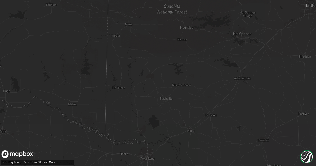
February 24 map
$229
one time, instant access
Download today. No call, no setup
Keep the $229
Bought the map and want the full workflow? Apply the entire $229 to a subscription within 7 days. None of it is wasted.
Every map, not just this one
This buys you this map. Subscription and you get every map we run, in the markets you choose from a few cities to whole states to nationwide. Plus real-time alerts the moment a storm fires.
Contact data
Name, contact info, occupancy, even credit band for addresses in the footprint. You go from where it hit to who to call.
Become the source they trust
Unlimited branding weather history reports on demand. You already have the documented answer ready for the property owner, and you are the one who showed up with it.
Property data and RoofTrace estimates
Pull up any address you have got, its value and the exact code rules for that jurisdiction, straight from One Click Code. Then RoofTrace estimates the squares, pitch, and roof value, priced the way you price.
Storm reports in Memphis, TN
Memphis, TN
| Date | Description |
|---|---|
| 02/23/20117:05 PM CST | 16 foot section of backyard fence blown down. 4x4 fence uprights snapped off at ground level with two 8 foot wide sections of fence airborne for 30 feet. Estimated at 7 |
| 02/23/20117:05 PM CST | High winds blew off top of chimney near hickory hill |
| 02/23/20117:00 PM CST | Power lines down...street light bent at hwy 64 and hwy 70 |
| 02/23/20116:50 PM CST | Power poles and several trees down in the cornell street and frayser boulevard area. |
All States Impacted by Hail Map on February 24, 2011
All Cities Impacted by Hail Map on February 24, 2011
- Carnegie, OK
- Springer, OK
- Davis, OK
- Somerville, TN
- Mason, TN
- Terral, OK
- Ryan, OK
- Columbus, KS
- Garnett, KS
- Homer, LA
- Apache, OK
- Forrest City, AR
- Colt, AR
- Proctor, AR
- Memphis, TN
- Turrell, AR
- Widener, AR
- Edmondson, AR
- Marion, AR
- Heth, AR
- Earle, AR
- West Memphis, AR
- Crawfordsville, AR
- Parkin, AR
- Sulphur, OK
- Goodwin, AR
- Palestine, AR
- Wynne, AR
- Lockesburg, AR
- Mineral Springs, AR
- Tipton, OK
- Frederick, OK
- Mcalester, OK
- Indianola, OK
- Dougherty, OK
- Checotah, OK
- Eufaula, OK
- Mountain Park, OK
- Snyder, OK
- Roosevelt, OK
- Union City, TN
- Hickman, KY
- Fulton, KY
- Haynesville, LA
- Horatio, AR
- Anadarko, OK
- Grady, AR
- Star City, AR
- Oklahoma City, OK
- Lisbon, LA
- Dubach, LA
- Morgantown, KY
- Mill Creek, OK
- Roff, OK
- Arlington, TN
- Atoka, TN
- Millington, TN
- Brighton, TN
- Chickasha, OK
- Pocasset, OK
- Verden, OK
- Union City, OK
- Mustang, OK
- Arcadia, LA
- Athens, LA
- Potwin, KS
- El Dorado, KS
- Benton, KS
- Towanda, KS
- Belton, KY
- Dunmor, KY
- Nashville, AR
- Mayfield, KY
- Sedalia, KY
- Wingo, KY
- Minden, LA
- Scammon, KS
- Hardin, KY
- Benton, KY
- Parkdale, AR
- Wilmot, AR
- Ringgold, TX
- Burns, KS
- Burden, KS
- Porum, OK
- Stigler, OK
- Clinton, KY
- Water Valley, KY
- South Fulton, TN
- Amber, OK
- Minco, OK
- Brownsville, TN
- Stanton, TN
- Blanchard, OK
- Cement, OK
- Newcastle, OK
- Tuttle, OK
- Pawnee, OK
- Glencoe, OK
- Stuart, OK
- Drumright, OK
- Frankston, TX
- Spearsville, LA
- Farmerville, LA
- Bernice, LA
- Stillwater, OK
- Fitzhugh, OK
- Wichita, KS
- Mannford, OK
- Munford, TN
- Drummonds, TN
- Jetson, KY
- Strawberry, AR
- Smithville, AR
- Cave City, AR
- Lawton, OK
- El Dorado, AR
- Sand Springs, OK
- Kincaid, KS
- Marion, LA
- Wheatley, AR
- Brinkley, AR
- Cushing, OK
- Anguilla, MS
- Silver City, MS
- Louise, MS
- Hamburg, AR
- Bastrop, LA
- Moro, AR
- Luther, OK
- Kirksey, KY
- Almo, KY
- Farmington, KY
- Murray, KY


