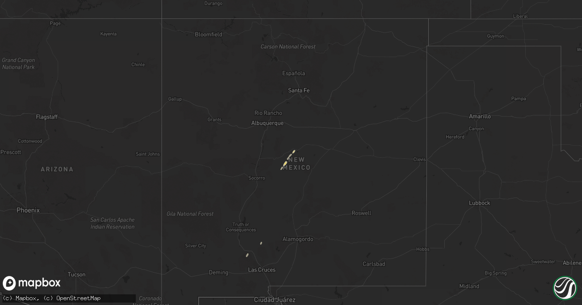
Hail Map on October 14, 2025
Get this storm
October 14 map
$229
one time, instant access
Download today. No call, no setup
Keep the $229
Bought the map and want the full workflow? Apply the entire $229 to a subscription within 7 days. None of it is wasted.
Every map, not just this one
This buys you this map. Subscription and you get every map we run, in the markets you choose from a few cities to whole states to nationwide. Plus real-time alerts the moment a storm fires.
Contact data
Name, contact info, occupancy, even credit band for addresses in the footprint. You go from where it hit to who to call.
Become the source they trust
Unlimited branding weather history reports on demand. You already have the documented answer ready for the property owner, and you are the one who showed up with it.
Property data and RoofTrace estimates
Pull up any address you have got, its value and the exact code rules for that jurisdiction, straight from One Click Code. Then RoofTrace estimates the squares, pitch, and roof value, priced the way you price.
States Impacted by Hail Map on October 14, 2025
Storm reports
California
| Date | Description |
|---|---|
| 10/14/202512:53 PM CDT | Mesonet station choc1 chilao raws. |
| 10/14/202512:35 PM CDT | All lanes of the nb i-5 closed due to flooding. |
| 10/14/202511:45 AM CDT | 142 reports of tree damage... Including trees down... Uprooted trees... And large branches down scattered throughout the city of los angeles. This was in conjunction wi |
| 10/14/202511:45 AM CDT | 142 reports of tree damage... Including trees down... Uprooted trees... And large branches down scattered throughout the city of los angeles. |
| 10/14/202511:20 AM CDT | Mesonet station 546se mesa vincent 2. |
| 10/14/202511:10 AM CDT | Mesonet station se678 magic mtn truck trl |
| 10/14/202510:53 AM CDT | Mesonet station choc1 chilao raws. |
| 10/14/202510:49 AM CDT | Mesonet station wlyc1 wiley ridge raws. |
| 10/14/202510:37 AM CDT | Tree down blocking lane burbank blvd. |
| 10/14/20259:53 AM CDT | Mesonet station choc1 chilao raws. |
| 10/14/20259:34 AM CDT | Tree down on foothill rd near peck rd. |
| 10/14/20259:20 AM CDT | Mesonet station se678 magic mtn truck trl |
| 10/14/20258:07 AM CDT | Tree down on moorpark rd between los padres drive and rolling oaks drive. |
| 10/14/20257:52 AM CDT | Road sign down in roadway on highway 150 near laguna ridge fire rd. |
| 10/14/20257:34 AM CDT | Multiple trees down on highway 101 near balboa ave. |
| 10/14/20257:15 AM CDT | Mesonet station lgrc1 la granada mountain. |
| 10/14/20257:00 AM CDT | Trees down in lanes. |