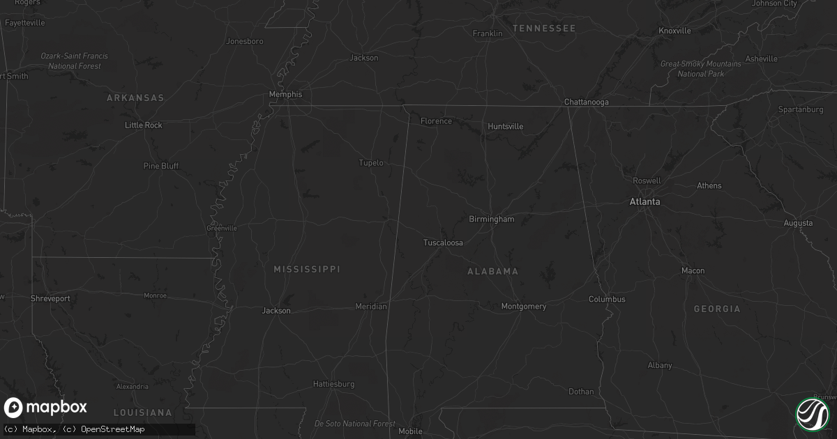
Hail Map in Delaware on September 3, 2020
Get this storm
September 3 map
$229
one time, instant access
Download today. No call, no setup
Keep the $229
Bought the map and want the full workflow? Apply the entire $229 to a subscription within 7 days. None of it is wasted.
Every map, not just this one
This buys you this map. Subscription and you get every map we run, in the markets you choose from a few cities to whole states to nationwide. Plus real-time alerts the moment a storm fires.
Contact data
Name, contact info, occupancy, even credit band for addresses in the footprint. You go from where it hit to who to call.
Become the source they trust
Unlimited branding weather history reports on demand. You already have the documented answer ready for the property owner, and you are the one who showed up with it.
Property data and RoofTrace estimates
Pull up any address you have got, its value and the exact code rules for that jurisdiction, straight from One Click Code. Then RoofTrace estimates the squares, pitch, and roof value, priced the way you price.
Storm reports in Delaware
Delaware
| Date | Description |
|---|---|
| 09/03/20206:33 PM CDT | The spotter estimated 60 to 65 mph winds on the south side of bridgeville in association with a rear flank downdraft. Time estimated from radar. |
| 09/03/20206:30 PM CDT | Tree down on wires near the intersection of whitney swamp rd and buck fever rd. Time estimated from radar. |
| 09/03/20206:30 PM CDT | Tree down on wires near the intersection of federalsburg rd and hartzell rd. Time estimated from radar. |
| 09/03/20205:14 AM CDT | At 1014 PM EDT, a severe thunderstorm was located over Milford, or 14 miles north of Georgetown, moving east at 25 mph. HAZARD...60 mph wind gusts and penny size hail. SOURCE...Radar indicated. IMPACT...Damage to roofs, siding, trees, and power lines is possible. Locations impacted include... Georgetown, Milford, Lewes, Milton, Ellendale, Henlopen Acres, Cape Henlopen State Park, Long Neck, Greenwood, Houston and Dewey Beach. |
| 09/03/20202:40 AM CDT | At 739 PM EDT, severe thunderstorms were located along a line extending from near Ellendale to near Bridgeville to Seaford, moving east at 45 mph. HAZARD...70 mph wind gusts and penny size hail. SOURCE...Radar indicated. IMPACT...Expect considerable tree damage. Damage is likely to mobile homes, roofs, and outbuildings. Locations impacted include... Georgetown, Seaford, Millsboro, Lewes, Milton, Bridgeville, Millville, Ellendale, Henlopen Acres, Cape Henlopen State Park, Long Neck, Ocean View, Greenwood and Dewey Beach. |
| 09/03/20201:48 AM CDT | At 647 PM EDT, severe thunderstorms were located along a line extending from near Ridgely to near Easton to Talbot, moving east at 40 mph. HAZARD...70 mph wind gusts and quarter size hail. SOURCE...Radar indicated. IMPACT...Minor damage to vehicles is possible. Expect considerable tree damage. Wind damage is also likely to mobile homes, roofs, and outbuildings. Locations impacted include... Easton, Georgetown, Talbot, Milford, Seaford, Denton, Harrington, Lewes, Federalsburg, Milton, Bridgeville, Ridgely, St. Michaels, Preston, Ellendale, Queen Anne, Smithville, Copperville, Agner and Choptank. |
| 09/02/20209:10 PM CDT | Trees and wires down on church hill rd with several other power outage reports in the area. Time estimated from radar. |
Cities Impacted by Hail Map on September 3, 2020
- Austin, TX
- Milton, DE
- Encinal, TX
- Cotulla, TX
- Ellendale, DE
- San Antonio, TX
- Brackettville, TX
- Cordova, MD
- Floresville, TX
- Stevensville, MD
- Chester, MD
- Bryan, TX
- Elkhart, TX
- Palestine, TX
- Upper Marlboro, MD
- Mcdaniel, MD
- Saint Michaels, MD
- Harwood, MD
- Davidsonville, MD
- Bowie, MD
- Menard, TX
- College Station, TX
- Karnes City, TX
- Uvalde, TX
- Laredo, TX
- Stockdale, TX
- Sutherland Springs, TX
- Falls City, TX
- Bridgeville, DE
- Greenwood, DE
- Georgetown, DE
- Harbeson, DE
- Lewes, DE
- Grapeland, TX
- Medina, TX
- Hyattsville, MD
- Capitol Heights, MD
- Poth, TX
- Mountain Home, TX
- Mount Airy, MD
- Monrovia, MD
- New Market, MD
- Potomac, MD
- Washington, DC
- Riva, MD
- Silver Spring, MD
- Rockville, MD
- Riverdale, MD
- Greenbelt, MD
- Gaithersburg, MD
- Gambrills, MD
- Queenstown, MD
- Easton, MD
- Crofton, MD
- Laurel, MD
- Beltsville, MD
- Arnold, MD
- Bethesda, MD
- Lanham, MD
- Takoma Park, MD
- Kensington, MD
- Crownsville, MD
- College Park, MD
- Odenton, MD
- Glenn Dale, MD
- Grasonville, MD
- Germantown, MD
- Edgewater, MD
- Brentwood, MD
- Annapolis, MD
- Bladensburg, MD
- Garrett Park, MD
- Derwood, MD
- Olney, MD
- Washington Grove, MD
- Federalsburg, MD
- Denton, MD
- Preston, MD
- Quemado, TX


