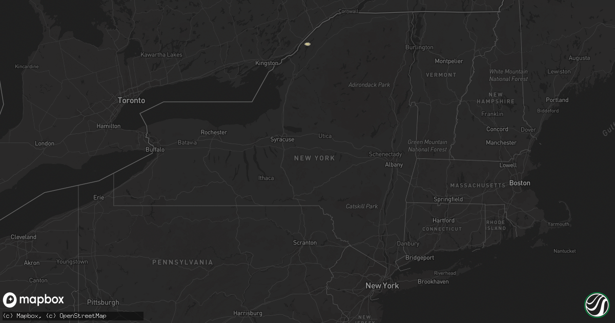
Hail Map in New York on August 31, 2022
Get this storm
August 31 map
$229
one time, instant access
Download today. No call, no setup
Keep the $229
Bought the map and want the full workflow? Apply the entire $229 to a subscription within 7 days. None of it is wasted.
Every map, not just this one
This buys you this map. Subscription and you get every map we run, in the markets you choose from a few cities to whole states to nationwide. Plus real-time alerts the moment a storm fires.
Contact data
Name, contact info, occupancy, even credit band for addresses in the footprint. You go from where it hit to who to call.
Become the source they trust
Unlimited branding weather history reports on demand. You already have the documented answer ready for the property owner, and you are the one who showed up with it.
Property data and RoofTrace estimates
Pull up any address you have got, its value and the exact code rules for that jurisdiction, straight from One Click Code. Then RoofTrace estimates the squares, pitch, and roof value, priced the way you price.
Storm reports in New York
New York
| Date | Description |
|---|---|
| 08/31/20222:50 PM CDT | Tree down and power lines in the road |
| 08/30/202211:10 PM CDT | At 410 PM EDT, severe thunderstorms were located along a line extending from near North Russell to near Russell to near Hermon, moving east at 35 mph. HAZARD...60 mph wind gusts and penny size hail. SOURCE...Radar indicated. IMPACT...Expect damage to trees and powerlines. Locations impacted include... Potsdam, Canton, Parishville, Colton, Carry Falls Reservoir, Degrasse, Richville, Hermon, Lake Ozonia, Pierrepont, Russell, Stark, Pyrites, West Parishville, Higley Flow State Park, North Russell, Shurtleff, South Colton, Hannawa Falls and West Pierrepont. |
| 08/30/202210:40 PM CDT | At 339 PM EDT, a severe thunderstorm was located over South Hammond, moving east at 40 mph. HAZARD...60 mph wind gusts and quarter size hail. SOURCE...Radar indicated. IMPACT...Minor hail damage to vehicles is possible. Expect wind damage to trees and powerlines. Locations impacted include... Gouverneur, Fowler, Richville, Hermon, Russell, Rossie, Edwards, Talcville, Nelson Corner, Fullerville, North Gouverneur, Balmat, West Fowler, West Pierrepont and South Russell. |
| 08/30/202210:22 PM CDT | At 321 PM EDT, a severe thunderstorm was located 7 miles northwest of Wellesley Island State Park, or 29 miles northwest of Fort Drum, moving east at 50 mph. HAZARD...60 mph wind gusts and quarter size hail. SOURCE...Radar indicated. IMPACT...Minor damage to vehicles is possible. Expect wind damage to trees and power lines. Locations impacted include... Kring Point State Park, Wellesley Island State Park, Redwood and Alexandria Bay.This includes Interstate 81 between exits 51 and 52. |
| 08/30/202210:21 PM CDT | At 321 PM EDT, a severe thunderstorm was located over Edwardsville, moving east at 25 mph. HAZARD...60 mph wind gusts and quarter size hail. SOURCE...Radar indicated. IMPACT...Minor hail damage to vehicles is possible. Expect wind damage to trees and powerlines. Locations impacted include... Canton, Ogdensburg, Lisbon, De Kalb, Rensselaer Falls, Heuvelton, Morley, Edwardsville, Hammond, Hermon, Morristown, Waddington, Madrid, De Peyster, Chippewa Bay, South Hammond, Pyrites, North Hammond, Jacques Cartier State Park and North Russell. |
| 08/30/20229:03 PM CDT | Several large trees and trailer blown over. One tree on a home... Another through a garage. |
All States Impacted by Hail Map on August 31, 2022
Cities Impacted by Hail Map on August 31, 2022
- Atwood, KS
- Ewing, NE
- Bartlett, NE
- Arriba, CO
- Genoa, CO
- Newcastle, NE
- Clearwater, NE
- Westfield, IA
- Briggsdale, CO
- Hammond, NY
- Heuvelton, NY
- Anselmo, NE
- Idalia, CO
- Arnold, NE
- Brady, NE
- Tryon, NE
- North Fort Myers, FL
- Punta Gorda, FL
- Vermillion, SD
- Burbank, SD
- Elk Point, SD
- Elgin, NE
- Spalding, NE
- Bassett, NE
- Kanorado, KS
- Seibert, CO
- Wheatland, WY
- Oakley, KS
- Jacksonville, FL
- Brewster, KS
- Edson, KS
- Karval, CO
- Vona, CO
- Saint Francis, KS
- Oconto, NE
- Eddyville, NE
- Wallace, NE
- Monticello, FL
- Brewster, NE
- Atkinson, NE
- Maxwell, NE
- Lake Park, GA
- Valdosta, GA
- Statenville, GA
- Colby, KS
- Johnstown, NE
- Pinetta, FL
- Montgomery, TX
- Gothenburg, NE
- Calhan, CO
- Peyton, CO
- Sanford, FL
- Mangum, OK
- Chadron, NE
- Ponca, NE
- Hayes Center, NE
- Maywood, NE
- Winter Springs, FL
- Casselberry, FL
- Akron, IA
- Nashville, GA
- Beulah, CO
- Long Pine, NE
- Fargo, GA
- New Smyrna Beach, FL
- Deland, FL
- Woodbine, GA
- Wellfleet, NE
- Chambers, NE
- Fort Myers, FL
- Wallace, KS
- Thedford, NE
- Wynot, NE
- Ainsworth, NE
- Rosanky, TX
- Waelder, TX
- Dale, TX
- Newport, NE
- Flagler, CO
- Colorado Springs, CO
- Ponte Vedra Beach, FL
- Akron, CO
- Osmond, NE
- Mclean, NE
- Pierce, NE
- Randolph, NE
- Folkston, GA
- Goodland, KS
- Bogue, KS
- Hill City, KS
- Penokee, KS


