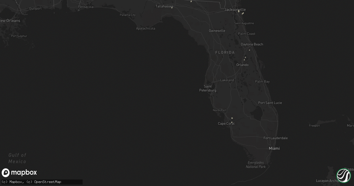
Hail Map in Florida on August 31, 2022
Get this storm
August 31 map
$229
one time, instant access
Download today. No call, no setup
Keep the $229
Bought the map and want the full workflow? Apply the entire $229 to a subscription within 7 days. None of it is wasted.
Every map, not just this one
This buys you this map. Subscription and you get every map we run, in the markets you choose from a few cities to whole states to nationwide. Plus real-time alerts the moment a storm fires.
Contact data
Name, contact info, occupancy, even credit band for addresses in the footprint. You go from where it hit to who to call.
Become the source they trust
Unlimited branding weather history reports on demand. You already have the documented answer ready for the property owner, and you are the one who showed up with it.
Property data and RoofTrace estimates
Pull up any address you have got, its value and the exact code rules for that jurisdiction, straight from One Click Code. Then RoofTrace estimates the squares, pitch, and roof value, priced the way you price.
Storm reports in Florida
Florida
| Date | Description |
|---|---|
| 08/31/20224:39 PM CDT | Power line down along i-10 near mile marker 250. |
| 08/31/20222:30 PM CDT | Tree reported down over road in the vicinity of ponte vedra lakes blvd & great harbor way. |
| 08/31/202212:29 AM CDT | At 529 PM EDT, a severe thunderstorm was located over Madison, moving south at 10 mph. HAZARD...60 mph wind gusts. SOURCE...Radar indicated. IMPACT...Expect damage to roofs, siding, and trees. Locations impacted include... Madison, Greenville, Lee, Iddo, Moseley Hall, Ebb, Chancey, Boyd, Hopewell, Buckville, Eridu, Mayo Junction, Townsend, Lake Bird, Day, Sirmans and Shady Grove. |
| 08/30/202210:04 PM CDT | At 304 PM EDT, a severe thunderstorm was located over Craig Field, or over Unf, moving east at 10 mph. HAZARD...60 mph wind gusts and penny size hail. SOURCE...Radar indicated. IMPACT...Expect damage to roofs, siding, and trees. Locations impacted include... Unf, Ponte Vedra Beach, Neptune Beach, Palm Valley, Sawgrass, Baymeadows, Craig Field, San Pablo and Fort Caroline. |
| 08/30/20229:31 PM CDT | At 231 PM EDT, a severe thunderstorm was located over Riverside, or over Jacksonville, moving southeast at 5 mph. HAZARD...60 mph wind gusts and quarter size hail. SOURCE...Radar indicated. IMPACT...Hail damage to vehicles is expected. Expect wind damage to roofs, siding, and trees. Locations impacted include... Jacksonville, Arlington, Nas Jax, Ortega, Craig Field, Normandy, Fort Caroline, San Marco, Riverside and Tallyrand. |
All States Impacted by Hail Map on August 31, 2022
Cities Impacted by Hail Map on August 31, 2022
- Atwood, KS
- Ewing, NE
- Bartlett, NE
- Arriba, CO
- Genoa, CO
- Newcastle, NE
- Clearwater, NE
- Westfield, IA
- Briggsdale, CO
- Hammond, NY
- Heuvelton, NY
- Anselmo, NE
- Idalia, CO
- Arnold, NE
- Brady, NE
- Tryon, NE
- North Fort Myers, FL
- Punta Gorda, FL
- Vermillion, SD
- Burbank, SD
- Elk Point, SD
- Elgin, NE
- Spalding, NE
- Bassett, NE
- Kanorado, KS
- Seibert, CO
- Wheatland, WY
- Oakley, KS
- Jacksonville, FL
- Brewster, KS
- Edson, KS
- Karval, CO
- Vona, CO
- Saint Francis, KS
- Oconto, NE
- Eddyville, NE
- Wallace, NE
- Monticello, FL
- Brewster, NE
- Atkinson, NE
- Maxwell, NE
- Lake Park, GA
- Valdosta, GA
- Statenville, GA
- Colby, KS
- Johnstown, NE
- Pinetta, FL
- Montgomery, TX
- Gothenburg, NE
- Calhan, CO
- Peyton, CO
- Sanford, FL
- Mangum, OK
- Chadron, NE
- Ponca, NE
- Hayes Center, NE
- Maywood, NE
- Winter Springs, FL
- Casselberry, FL
- Akron, IA
- Nashville, GA
- Beulah, CO
- Long Pine, NE
- Fargo, GA
- New Smyrna Beach, FL
- Deland, FL
- Woodbine, GA
- Wellfleet, NE
- Chambers, NE
- Fort Myers, FL
- Wallace, KS
- Thedford, NE
- Wynot, NE
- Ainsworth, NE
- Rosanky, TX
- Waelder, TX
- Dale, TX
- Newport, NE
- Flagler, CO
- Colorado Springs, CO
- Ponte Vedra Beach, FL
- Akron, CO
- Osmond, NE
- Mclean, NE
- Pierce, NE
- Randolph, NE
- Folkston, GA
- Goodland, KS
- Bogue, KS
- Hill City, KS
- Penokee, KS


