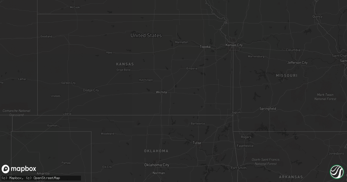
Hail Map in Michigan on August 26, 2013
Get this storm
August 26 map
$229
one time, instant access
Download today. No call, no setup
Keep the $229
Bought the map and want the full workflow? Apply the entire $229 to a subscription within 7 days. None of it is wasted.
Every map, not just this one
This buys you this map. Subscription and you get every map we run, in the markets you choose from a few cities to whole states to nationwide. Plus real-time alerts the moment a storm fires.
Contact data
Name, contact info, occupancy, even credit band for addresses in the footprint. You go from where it hit to who to call.
Become the source they trust
Unlimited branding weather history reports on demand. You already have the documented answer ready for the property owner, and you are the one who showed up with it.
Property data and RoofTrace estimates
Pull up any address you have got, its value and the exact code rules for that jurisdiction, straight from One Click Code. Then RoofTrace estimates the squares, pitch, and roof value, priced the way you price.
Storm reports in Michigan
Michigan
| Date | Description |
|---|---|
| 08/26/20136:23 AM CDT | Report relayed by abc 29/8 that big rapids twp. Fire dept verified a few downed trees and powers lines. Damage was rather sporadic and not on a wide scale. |
| 08/26/20133:40 AM CDT | Multiple large healthy trees blown down. Time estimated by radar. |
| 08/26/20133:15 AM CDT | Multiple trees down some of which were reported blocking roadways. Time estimated by radar. |
| 08/26/20133:10 AM CDT | Several large healthy trees reported down by county official. Time estimated by radar. |
| 08/26/20132:50 AM CDT | Multiple large healthy trees down. Time estimated by radar. |
All States Impacted by Hail Map on August 26, 2013
Cities Impacted by Hail Map on August 26, 2013
- Ladysmith, WI
- Brainerd, MN
- Garrison, MN
- Hillman, MN
- Cable, WI
- Mason, WI
- Grand View, WI
- Westby, MT
- Plentywood, MT
- Outlook, MT
- Antelope, MT
- Motley, MN
- Watford City, ND
- Aitkin, MN
- Palisade, MN
- Emily, MN
- Wadena, MN
- Perham, MN
- New York Mills, MN
- Bluffton, MN
- Verndale, MN
- Staples, MN
- Alamo, ND
- Detroit Lakes, MN
- Frazee, MN
- Vergas, MN
- Pelican Rapids, MN
- Moose Lake, MN
- Sturgeon Lake, MN
- Pinon, AZ
- Kettle River, MN
- Sabin, MN
- Pillager, MN
- Baxter, MN
- Fort Ripley, MN
- Nisswa, MN
- Crosby, MN
- Pequot Lakes, MN
- Merrifield, MN
- Plaza, ND
- Berthold, ND
- Kenmare, ND
- Hawley, MN
- Lake Park, MN
- Wakpala, SD
- Fort Yates, ND
- Wildrose, ND
- Phillips, WI
- Wright, MN
- Grand Canyon, AZ
- Barnesville, MN
- Eloy, AZ
- Fort Mcdowell, AZ
- Crosby, ND
- Killdeer, ND
- Flaxville, MT
- Sebeka, MN
- Audubon, MN
- Dent, MN
- Radisson, WI
- Coolidge, AZ
- Queen Creek, AZ
- Chandler, AZ
- Casa Grande, AZ
- Drummond, WI
- Crivitz, WI
- Porterfield, WI
- Barnum, MN
- Bruce, WI
- Weyerhaeuser, WI
- Marinette, WI
- Peshtigo, WI
- Mcgregor, MN
- Onamia, MN
- Sturgeon Bay, WI
- Marana, AZ
- Kerrick, MN
- Pickerel, WI
- Crandon, WI
- Tucson, AZ
- Arivaca, AZ
- Tony, WI
- Park Falls, WI
- Free Soil, MI
- Lac Du Flambeau, WI
- Exeland, WI
- Birchwood, WI
- Stetsonville, WI
- Custer, MI
- Scottville, MI
- Prescott, AZ
- Floodwood, MN
- Cromwell, MN
- Saint James City, FL
- Butternut, WI
- Cape Coral, FL
- Meadowlands, MN
- McGrath, MN
- Sandstone, MN
- Ambrose, ND
- Wabeno, WI
- Conrath, WI
- Holcombe, WI
- Sheldon, WI
- Gilman, WI
- Reed City, MI
- Holyoke, MN
- Sells, AZ
- Grand Rapids, MN
- Seligman, AZ
- Red Rock, AZ
- Akeley, MN
- Nevis, MN
- Grenora, ND
- Deerwood, MN
- Paris, MI
- Bruno, MN
- Ironton, MN
- Pine River, MN
- Ludington, MI
- Crosslake, MN


