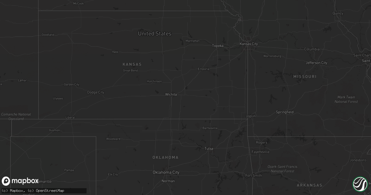
Hail Map on August 26, 2013
Get this storm
August 26 map
$229
one time, instant access
Download today. No call, no setup
Keep the $229
Bought the map and want the full workflow? Apply the entire $229 to a subscription within 7 days. None of it is wasted.
Every map, not just this one
This buys you this map. Subscription and you get every map we run, in the markets you choose from a few cities to whole states to nationwide. Plus real-time alerts the moment a storm fires.
Contact data
Name, contact info, occupancy, even credit band for addresses in the footprint. You go from where it hit to who to call.
Become the source they trust
Unlimited branding weather history reports on demand. You already have the documented answer ready for the property owner, and you are the one who showed up with it.
Property data and RoofTrace estimates
Pull up any address you have got, its value and the exact code rules for that jurisdiction, straight from One Click Code. Then RoofTrace estimates the squares, pitch, and roof value, priced the way you price.
States Impacted by Hail Map on August 26, 2013
Storm reports
North Dakota
| Date | Description |
|---|---|
| 08/26/20136:50 PM CDT | Large tree limbs snapped. No hail reported. Not much rain. |
| 08/26/20135:46 PM CDT | Dunn county sheriff report. Pea size hail also along with heavy rain. |
| 08/25/20139:30 PM CDT | Rainfall of 0.70 inches with wind gusts to 35 mph. |
| 08/25/20137:45 PM CDT | Estimated 50 to 60 mph wind with near zero visiblity in heavy rain |
Arizona
| Date | Description |
|---|---|
| 08/26/20136:05 PM CDT | Dock and 2 boats damaged at canyon lake marina. Wind gusts estimated to 60 mph. Delayed report. |
| 08/25/20139:35 PM CDT | Buckeye airport mesonet wind. Sustained 43 gust to 68 mph at 735 pm mst. |
| 08/25/20139:20 PM CDT | Additional report of a large down tree that heavily damaged a home in litchfield park. Delayed report via boradcast media. Time estimated around 720p. |
| 08/25/20139:15 PM CDT | Trees uprooted |
| 08/25/20139:15 PM CDT | Several trees uprooted. Delayed report. Time estimated from radar. |
| 08/25/20138:40 PM CDT | Large branches broken in far south gilbert near chandler heights and higley area. |
| 08/25/20138:27 PM CDT | A local report indicates 62 MPH wind near 4 SSE TUMBLEWEED PARK |
| 08/25/20138:15 PM CDT | Tree downed in far south gilbert near chandler heights and higley area. |
| 08/25/20138:03 PM CDT | 6 in. Tree branch blown off |
| 08/25/20137:50 PM CDT | Delayed report from monday...debris including a basketball hoop...flying down the street. Very strong winds. |
| 08/25/20137:38 PM CDT | Delayed report...winds estimated at over 60 mph. Cars in home depot parking lot dmaged by heavy debris. |
| 08/25/20137:35 PM CDT | Large tree downed on top of 3 adjacent parked cars. Car roofs caved in. Damaged occured at an apartment complex located at kyrene and elloit roads in tempe. |
| 08/25/20137:29 PM CDT | Several trees downed. |
Washington
| Date | Description |
|---|---|
| 08/25/20138:02 PM CDT | Pk wnd 20052/0102 |
California
| Date | Description |
|---|---|
| 08/25/20137:10 PM CDT | Power outage reported by southern california edison. |
New York
| Date | Description |
|---|---|
| 08/26/20131:11 PM CDT | Wires down. |
Minnesota
| Date | Description |
|---|---|
| 08/26/20136:52 PM CDT | Hail fell for about a minute on the south end of vergas. |
| 08/26/20136:26 PM CDT | A local report indicates 1.00 inch wind near CORMORANT |
| 08/26/20135:58 PM CDT | Tree down at breezy point resort. Pea to nickel size hail. Numerous windows broken. Via social media. Time estimated. |
| 08/26/20135:40 PM CDT | Trees reported down on county road 1 east of pine river. Location estimated |
| 08/25/201310:14 PM CDT | Can hear hail hitting roof. |
| 08/25/20139:48 PM CDT | A local report indicates 1.75 inch wind near 2 S BRAINERD |
| 08/25/20139:48 PM CDT | Wind gust measurement taken with a handheld annometer. There is hail and wind damage to home. Holes in siding. |
| 08/25/20138:55 PM CDT | A local report indicates 2.00 inch wind near 4 N MOTLEY |
| 08/25/20138:22 PM CDT | A local report indicates 1.50 inch wind near 3 N VERNDALE |
| 08/25/20137:54 PM CDT | Relayed via social media. |
| 08/25/20137:51 PM CDT | Quarter to half dollar-sized hail. Winds in excess of 60 mph also reported just northwest of new york mills. |
| 08/25/20137:47 PM CDT | Various media sources posted reports and photos of hail larger than baseball size. |
| 08/25/20137:45 PM CDT | Several photos from media of hail larger than baseball size. |
| 08/25/20137:45 PM CDT | Hail up to 2 to 3 inches in diameter and 1.31 inches of rain. |
| 08/25/20137:43 PM CDT | A local report indicates 1.50 inch wind near 1 N NEW YORK MILLS |
| 08/25/20137:30 PM CDT | At least one large pine tree was snapped and several large tree branches were broken down. Peak winds estimated to 70 mph. |
| 08/25/20137:28 PM CDT | Pea to quarter size hail with winds estimated over 50 mph. |
Wisconsin
| Date | Description |
|---|---|
| 08/25/201310:05 PM CDT | Tree down near gordon. |
| 08/25/20139:52 PM CDT | Numerous trees down between drummond and cable on us hwy 63 and side roads in same area. |
| 08/25/20139:42 PM CDT | Tree down on wi-77 just east of county line. Time estimated based on radar. |
| 08/25/20139:32 PM CDT | Power out to mellen radio transmitter. Time estimated based on radar. |
| 08/25/20139:17 PM CDT | Branches flying through the air. |
| 08/25/20138:58 PM CDT | Numerous trees down between drummond and cable on us hwy 63 and side roads in same area. |
| 08/25/20138:55 PM CDT | Lots of trees and power lines down near cable. Via social media. Time estimated based on radar. |
| 08/25/20138:48 PM CDT | Trees and powerlines down across county. Time estimated based on radar. |
| 08/25/20138:28 PM CDT | Tree down near gordon. Time estimated based on radar. |
Michigan
| Date | Description |
|---|---|
| 08/26/20136:23 AM CDT | Report relayed by abc 29/8 that big rapids twp. Fire dept verified a few downed trees and powers lines. Damage was rather sporadic and not on a wide scale. |
| 08/26/20133:40 AM CDT | Multiple large healthy trees blown down. Time estimated by radar. |
| 08/26/20133:15 AM CDT | Multiple trees down some of which were reported blocking roadways. Time estimated by radar. |
| 08/26/20133:10 AM CDT | Several large healthy trees reported down by county official. Time estimated by radar. |
| 08/26/20132:50 AM CDT | Multiple large healthy trees down. Time estimated by radar. |
Montana
| Date | Description |
|---|---|
| 08/26/20136:01 PM CDT | Hail size ranged from pea sized to quarter sized. |
Cities Impacted by Hail Map on August 26, 2013
- Ladysmith, WI
- Brainerd, MN
- Garrison, MN
- Hillman, MN
- Cable, WI
- Mason, WI
- Grand View, WI
- Westby, MT
- Plentywood, MT
- Outlook, MT
- Antelope, MT
- Motley, MN
- Watford City, ND
- Aitkin, MN
- Palisade, MN
- Emily, MN
- Wadena, MN
- Perham, MN
- New York Mills, MN
- Bluffton, MN
- Verndale, MN
- Staples, MN
- Alamo, ND
- Detroit Lakes, MN
- Frazee, MN
- Vergas, MN
- Pelican Rapids, MN
- Moose Lake, MN
- Sturgeon Lake, MN
- Pinon, AZ
- Kettle River, MN
- Sabin, MN
- Pillager, MN
- Baxter, MN
- Fort Ripley, MN
- Nisswa, MN
- Crosby, MN
- Pequot Lakes, MN
- Merrifield, MN
- Plaza, ND
- Berthold, ND
- Kenmare, ND
- Hawley, MN
- Lake Park, MN
- Wakpala, SD
- Fort Yates, ND
- Wildrose, ND
- Phillips, WI
- Wright, MN
- Grand Canyon, AZ
- Barnesville, MN
- Eloy, AZ
- Fort Mcdowell, AZ
- Crosby, ND
- Killdeer, ND
- Flaxville, MT
- Sebeka, MN
- Audubon, MN
- Dent, MN
- Radisson, WI
- Coolidge, AZ
- Queen Creek, AZ
- Chandler, AZ
- Casa Grande, AZ
- Drummond, WI
- Crivitz, WI
- Porterfield, WI
- Barnum, MN
- Bruce, WI
- Weyerhaeuser, WI
- Marinette, WI
- Peshtigo, WI
- Mcgregor, MN
- Onamia, MN
- Sturgeon Bay, WI
- Marana, AZ
- Kerrick, MN
- Pickerel, WI
- Crandon, WI
- Tucson, AZ
- Arivaca, AZ
- Tony, WI
- Park Falls, WI
- Free Soil, MI
- Lac Du Flambeau, WI
- Exeland, WI
- Birchwood, WI
- Stetsonville, WI
- Custer, MI
- Scottville, MI
- Prescott, AZ
- Floodwood, MN
- Cromwell, MN
- Saint James City, FL
- Butternut, WI
- Cape Coral, FL
- Meadowlands, MN
- McGrath, MN
- Sandstone, MN
- Ambrose, ND
- Wabeno, WI
- Conrath, WI
- Holcombe, WI
- Sheldon, WI
- Gilman, WI
- Reed City, MI
- Holyoke, MN
- Sells, AZ
- Grand Rapids, MN
- Seligman, AZ
- Red Rock, AZ
- Akeley, MN
- Nevis, MN
- Grenora, ND
- Deerwood, MN
- Paris, MI
- Bruno, MN
- Ironton, MN
- Pine River, MN
- Ludington, MI
- Crosslake, MN