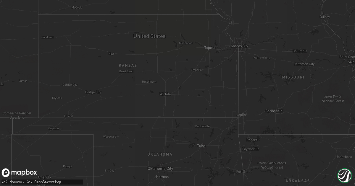
Hail Map in Wisconsin on August 26, 2013
Get this storm
August 26 map
$229
one time, instant access
Download today. No call, no setup
Keep the $229
Bought the map and want the full workflow? Apply the entire $229 to a subscription within 7 days. None of it is wasted.
Every map, not just this one
This buys you this map. Subscription and you get every map we run, in the markets you choose from a few cities to whole states to nationwide. Plus real-time alerts the moment a storm fires.
Contact data
Name, contact info, occupancy, even credit band for addresses in the footprint. You go from where it hit to who to call.
Become the source they trust
Unlimited branding weather history reports on demand. You already have the documented answer ready for the property owner, and you are the one who showed up with it.
Property data and RoofTrace estimates
Pull up any address you have got, its value and the exact code rules for that jurisdiction, straight from One Click Code. Then RoofTrace estimates the squares, pitch, and roof value, priced the way you price.
Storm reports in Wisconsin
Wisconsin
| Date | Description |
|---|---|
| 08/25/201310:05 PM CDT | Tree down near gordon. |
| 08/25/20139:52 PM CDT | Numerous trees down between drummond and cable on us hwy 63 and side roads in same area. |
| 08/25/20139:42 PM CDT | Tree down on wi-77 just east of county line. Time estimated based on radar. |
| 08/25/20139:32 PM CDT | Power out to mellen radio transmitter. Time estimated based on radar. |
| 08/25/20139:17 PM CDT | Branches flying through the air. |
| 08/25/20138:58 PM CDT | Numerous trees down between drummond and cable on us hwy 63 and side roads in same area. |
| 08/25/20138:55 PM CDT | Lots of trees and power lines down near cable. Via social media. Time estimated based on radar. |
| 08/25/20138:48 PM CDT | Trees and powerlines down across county. Time estimated based on radar. |
| 08/25/20138:28 PM CDT | Tree down near gordon. Time estimated based on radar. |
All States Impacted by Hail Map on August 26, 2013
Cities Impacted by Hail Map on August 26, 2013
- Ladysmith, WI
- Brainerd, MN
- Garrison, MN
- Hillman, MN
- Cable, WI
- Mason, WI
- Grand View, WI
- Westby, MT
- Plentywood, MT
- Outlook, MT
- Antelope, MT
- Motley, MN
- Watford City, ND
- Aitkin, MN
- Palisade, MN
- Emily, MN
- Wadena, MN
- Perham, MN
- New York Mills, MN
- Bluffton, MN
- Verndale, MN
- Staples, MN
- Alamo, ND
- Detroit Lakes, MN
- Frazee, MN
- Vergas, MN
- Pelican Rapids, MN
- Moose Lake, MN
- Sturgeon Lake, MN
- Pinon, AZ
- Kettle River, MN
- Sabin, MN
- Pillager, MN
- Baxter, MN
- Fort Ripley, MN
- Nisswa, MN
- Crosby, MN
- Pequot Lakes, MN
- Merrifield, MN
- Plaza, ND
- Berthold, ND
- Kenmare, ND
- Hawley, MN
- Lake Park, MN
- Wakpala, SD
- Fort Yates, ND
- Wildrose, ND
- Phillips, WI
- Wright, MN
- Grand Canyon, AZ
- Barnesville, MN
- Eloy, AZ
- Fort Mcdowell, AZ
- Crosby, ND
- Killdeer, ND
- Flaxville, MT
- Sebeka, MN
- Audubon, MN
- Dent, MN
- Radisson, WI
- Coolidge, AZ
- Queen Creek, AZ
- Chandler, AZ
- Casa Grande, AZ
- Drummond, WI
- Crivitz, WI
- Porterfield, WI
- Barnum, MN
- Bruce, WI
- Weyerhaeuser, WI
- Marinette, WI
- Peshtigo, WI
- Mcgregor, MN
- Onamia, MN
- Sturgeon Bay, WI
- Marana, AZ
- Kerrick, MN
- Pickerel, WI
- Crandon, WI
- Tucson, AZ
- Arivaca, AZ
- Tony, WI
- Park Falls, WI
- Free Soil, MI
- Lac Du Flambeau, WI
- Exeland, WI
- Birchwood, WI
- Stetsonville, WI
- Custer, MI
- Scottville, MI
- Prescott, AZ
- Floodwood, MN
- Cromwell, MN
- Saint James City, FL
- Butternut, WI
- Cape Coral, FL
- Meadowlands, MN
- McGrath, MN
- Sandstone, MN
- Ambrose, ND
- Wabeno, WI
- Conrath, WI
- Holcombe, WI
- Sheldon, WI
- Gilman, WI
- Reed City, MI
- Holyoke, MN
- Sells, AZ
- Grand Rapids, MN
- Seligman, AZ
- Red Rock, AZ
- Akeley, MN
- Nevis, MN
- Grenora, ND
- Deerwood, MN
- Paris, MI
- Bruno, MN
- Ironton, MN
- Pine River, MN
- Ludington, MI
- Crosslake, MN


