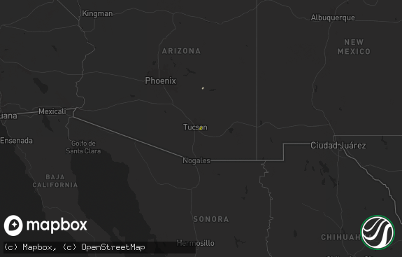
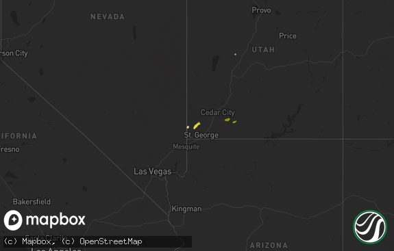
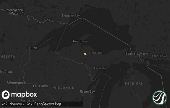
Hail Map in Utah on August 23, 2018
The weather event in Utah on August 23, 2018 includes Hail map. 10 states and 116 cities were impacted and suffered possible damage. The total estimated number of properties impacted is 99.

Hail
99
Estimated number of impacted properties by a 1.00" hail or larger0
Estimated number of impacted properties by a 1.75" hail or larger0
Estimated number of impacted properties by a 2.50" hail or largerStorm reports in Utah
Utah
| Date | Description |
|---|---|
| 08/23/20181:58 PM CDT | A local report indicates 1.00 inch wind near CANNONVILLE |
| 08/23/20187:08 AM CDT | At 1207 AM MDT, a severe thunderstorm was located 8 miles west of Nephi, moving east at 40 mph. HAZARD...Ping pong ball size hail and 60 mph wind gusts. SOURCE...Radar indicated. IMPACT...People and animals outdoors will be injured. Expect hail damage to roofs, siding, windows, and vehicles. Expect wind damage to roofs, siding, and trees. This severe thunderstorm will be near... Nephi around 1220 AM MDT. Other locations impacted by this severe thunderstorm includeFairview, Mona, Milburn, Indianola and Fountain Green. |
All States Impacted by Hail Map on August 23, 2018
Cities Impacted by Hail Map on August 23, 2018
- Linton, ND
- McLaughlin, SD
- Walker, SD
- Flasher, ND
- Solen, ND
- Brentford, SD
- Turton, SD
- Bristol, SD
- Northville, SD
- Mellette, SD
- Conde, SD
- Andover, SD
- Rapid City, SD
- Caputa, SD
- Mansfield, SD
- McIntosh, SD
- Selfridge, ND
- Eagle Butte, SD
- Fullerton, NE
- Clarks, NE
- Central City, NE
- Kanab, UT
- Escalante, UT
- Long Lake, SD
- Eureka, SD
- Hoven, SD
- Gettysburg, SD
- Faith, SD
- Mud Butte, SD
- Ashton, SD
- Stratford, SD
- Hermosa, SD
- Sturgis, SD
- Vale, SD
- Howes, SD
- Enning, SD
- Lennox, SD
- Belvidere, SD
- Black Hawk, SD
- Kadoka, SD
- Upton, WY
- Newcastle, WY
- Osage, WY
- Interior, SD
- Wanblee, SD
- Scenic, SD
- Kyle, SD
- Lebanon, SD
- Redfield, SD
- Tulare, SD
- Tucson, AZ
- Whitewood, SD
- Belle Fourche, SD
- Nisland, SD
- Williams, AZ
- Wakpala, SD
- Java, SD
- Gold Canyon, AZ
- Pine Ridge, SD
- Keystone, SD
- Grove City, MN
- Faulkton, SD
- Highmore, SD
- Saint Anthony, ND
- Mandan, ND
- Hague, ND
- Seneca, SD
- Silver Creek, NE
- Osceola, NE
- Palmer, NE
- Fallon, MT
- Martinsville, MO
- Clinton, MO
- Carson, ND
- Raleigh, ND
- Shields, ND
- White River, SD
- Strasburg, ND
- Phoenix, AZ
- Melbourne, FL
- Wishek, ND
- Tolstoy, SD
- Wall, SD
- Long Valley, SD
- Hatfield, MO
- Webster, SD
- Pierre, SD
- Orient, SD
- Miller, SD
- Ashley, ND
- Union Center, SD
- New Underwood, SD
- Madison, NE
- Newell, SD
- Colorado City, AZ
- Payson, AZ
- Kimball, MN
- Arivaca, AZ
- Waubay, SD
- Scottsdale, AZ
- Fort Yates, ND
- Ridgeview, SD
- Carefree, AZ
- Glendive, MT
- Ree Heights, SD
- Helena, MO
- Union Star, MO
- Cave Creek, AZ
- Seligman, AZ
- West Palm Beach, FL
- Loxahatchee, FL
- Stuart, FL
- Amado, AZ
- Bowdle, SD
- Onida, SD
- Cannonville, UT


