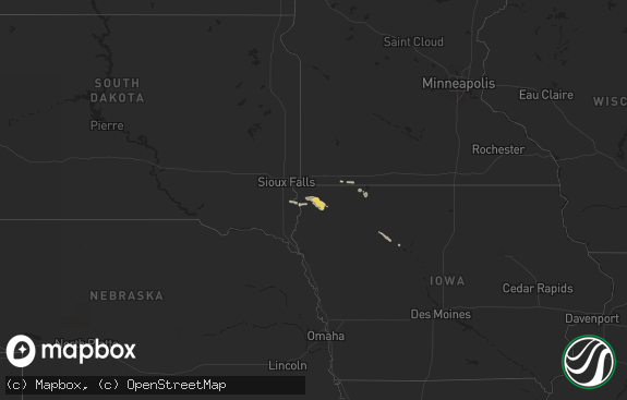
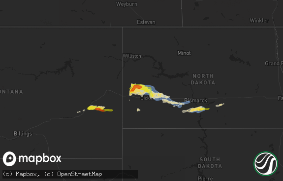
Hail Map in South Carolina on August 21, 2022
The weather event in South Carolina on August 21, 2022 includes Hail, Tornado, and Wind maps. 18 states and 134 cities were impacted and suffered possible damage. The total estimated number of properties impacted is 0.

Hail
Tornado
Wind
0
Estimated number of impacted properties by a 1.00" hail or larger0
Estimated number of impacted properties by a 1.75" hail or larger0
Estimated number of impacted properties by a 2.50" hail or largerStorm reports in South Carolina
South Carolina
| Date | Description |
|---|---|
| 08/21/20223:40 PM CDT | A 911 call center reported a tree down along pinckney colony blvd blocking the roadway. |
| 08/20/202211:45 PM CDT | At 445 PM EDT, a severe thunderstorm was located near Hutchinson Island, moving east at 10 mph. HAZARD...60 mph wind gusts and nickel size hail. SOURCE...Radar indicated. IMPACT...Expect damage to trees and powerlines. Locations impacted include: Hilton Head Island, Bluffton, Tybee Island, Wilmington Island, Fort Pulaski National Monument, Midtown Savannah, Downtown Savannah, Thunderbolt, Sandfly, Savannah Historic District, Isle Of Hope, Whitemarsh Island, Forest Beach, Hutchinson Island and Skidaway Island. |
| 08/20/202211:32 PM CDT | At 432 PM EDT, a severe thunderstorm was located over Pritchardville, moving northeast at 5 mph. HAZARD...60 mph wind gusts and quarter size hail. SOURCE...Radar indicated. IMPACT...Minor hail damage to vehicles is possible. Expect wind damage to trees and powerlines. Locations impacted include: Hilton Head Island, Bluffton, Bellinger Hill Area, Jasper, Hardeeville, Calawassie Island, Pritchardville, Rose Hill and Sun City.This warning includes I-95 in South Carolina between mile markers 6and 12. |
All States Impacted by Hail Map on August 21, 2022
Cities Impacted by Hail Map on August 21, 2022
- Blackfoot, ID
- Soda Springs, ID
- Overton, NV
- Elyria, OH
- Kalispell, MT
- Batavia, OH
- Arnoldsburg, WV
- Spencer, WV
- Oregonia, OH
- Lebanon, OH
- Franklin, OH
- Middletown, OH
- Springboro, OH
- Centertown, KY
- Alton, UT
- Glendale, UT
- Orderville, UT
- Memphis, TN
- Millington, TN
- Kanab, UT
- Cromwell, KY
- Horse Branch, KY
- Caneyville, KY
- Waynesville, OH
- New Lexington, OH
- Pataskala, OH
- Granville, OH
- Miamisburg, OH
- Dolan Springs, AZ
- Carey, OH
- Caliente, NV
- Peach Springs, AZ
- Kingman, AZ
- Hackberry, AZ
- Elizabethtown, NC
- Garland, NC
- Willow Beach, AZ
- Meadview, AZ
- Chloride, AZ
- Golden Valley, AZ
- Bullhead City, AZ
- Tropic, UT
- Henrieville, UT
- Escalante, UT
- Hurricane, UT
- Clarendon, NC
- Tabor City, NC
- Masontown, WV
- Bluffton, SC
- Osceola, AR
- Henning, TN
- Burlison, TN
- Wilson, AR
- Drummonds, TN
- Williams, AZ
- Maple Hill, NC
- Madison, OH
- Geneva, OH
- Vandergrift, PA
- Leechburg, PA
- Saint George, UT
- Memphis, NY
- Beryl, UT
- Enterprise, UT
- New Concord, OH
- Zanesville, OH
- Chandlersville, OH
- Norwich, OH
- Powell, OH
- Plain City, OH
- Delaware, OH
- Littlefield, AZ
- Ocala, FL
- Summer Shade, KY
- Tompkinsville, KY
- Vevay, IN
- Kamas, UT
- American Falls, ID
- Deep Run, NC
- Supai, AZ
- Congress, AZ
- Wickenburg, AZ
- Sedona, AZ
- Micanopy, FL
- Reddick, FL
- Williston, FL
- Jacksonville, FL
- Saint Johns, FL
- Morgantown, KY
- Lane, SC
- Andrews, SC
- Lake Havasu City, AZ
- Humboldt, AZ
- Dewey, AZ
- Young, AZ
- Rockland, ID
- Louisville, KY
- Penn Run, PA
- Lorain, OH
- Cumberland, OH
- Colorado City, AZ
- Okatie, SC
- Mayer, AZ
- Glasgow, KY
- Pocatello, ID
- Arbon, ID
- South Bloomingville, OH
- Creola, OH
- McArthur, OH
- Payson, AZ
- Arlington, TN
- Atoka, TN
- Prescott, AZ
- Ash Fork, AZ
- Seligman, AZ
- Parker, AZ
- Circleville, OH
- Kingston, OH
- Laurelville, OH
- Tampa, FL
- Chillicothe, OH
- Yemassee, SC
- Cottonwood, AZ
- Cornville, AZ
- Salome, AZ
- Hardeeville, SC
- Savannah, GA
- Bradenton, FL
- Sarasota, FL
- Wolfe City, TX
- East Syracuse, NY
- Syracuse, NY
- Cicero, NY
- Bridgeport, NY


