Hail Map in Indiana on August 20, 2018
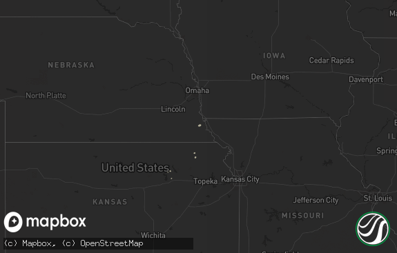
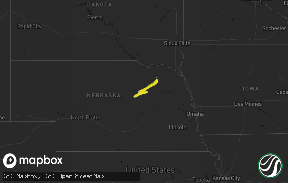
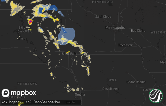
The weather event in Indiana on August 20, 2018 includes Hail map. 13 states and 166 cities were impacted and suffered possible damage. The total estimated number of properties impacted is 81.

Hail
81
Estimated number of impacted properties by a 1.00" hail or larger0
Estimated number of impacted properties by a 1.75" hail or larger0
Estimated number of impacted properties by a 2.50" hail or largerStorm reports in Indiana
Indiana
| Date | Description |
|---|---|
| 08/20/20186:30 PM CDT | Delayed report. Large tree down on car. A portion of the tree trunk shows signs of rot. Relayed via email photos. Time estimated from radar. |
| 08/20/20182:54 PM CDT | Healthy 10 inch diameter tree uprooted in yard. |
| 08/20/20182:54 PM CDT | 8 to 10 inch healthy limb down into power lines. |
| 08/20/201812:57 PM CDT | Barn roof torn off... Multiple large trees down... Power line down. Time estimated from radar. |
| 08/20/20182:54 AM CDT | At 753 PM EDT/653 PM CDT/, a severe thunderstorm was located near Royal Center, or 10 miles southeast of Winamac, moving northeast at 20 mph. HAZARD...60 mph wind gusts and penny size hail. SOURCE...Radar indicated. IMPACT...Expect damage to roofs, siding, and trees. Locations impacted include... Royal Center, Kewanna, Bruce Lake Station, Grass Creek, Lake Bruce, Thornhope and Marshtown. |
| 08/20/20182:32 AM CDT | At 731 PM EDT, a severe thunderstorm was located near Royal Center, or 10 miles northeast of Monticello, moving northeast at 10 mph. HAZARD...60 mph wind gusts and penny size hail. SOURCE...Radar indicated. IMPACT...Expect damage to roofs, siding, and trees. Locations impacted include... Royal Center, Burnettsville and Bell Center. |
| 08/20/20181:38 AM CDT | At 637 PM EDT, a severe thunderstorm was located 7 miles west of St. Dennis, moving northeast at 20 mph. HAZARD...60 mph wind gusts and penny size hail. SOURCE...Radar indicated. IMPACT...Expect damage to roofs, siding, and trees. Locations impacted include... Louisville, New Albany, Lanesville, Edwardsville and Floyds Knobs. |
| 08/19/201811:43 PM CDT | At 443 PM EDT, a severe thunderstorm was located near Bluffton, moving northeast at 25 mph. HAZARD...60 mph wind gusts and penny size hail. SOURCE...Radar indicated. IMPACT...Expect damage to roofs, siding, and trees. Locations impacted include... Bluffton, Ossian, Middletown, Preble, Magley, Tocsin, Craigville, Poe, Kingsland and Curryville. |
| 08/19/20189:38 PM CDT | At 238 PM EDT, a severe thunderstorm was located near Bunker Hill, or 7 miles southeast of Grissom Afb, moving northeast at 25 mph. HAZARD...60 mph wind gusts. SOURCE...Radar indicated. IMPACT...Expect damage to roofs, siding, and trees. Locations impacted include... Wabash, La Fontaine, Miami, Converse, Amboy, Bennetts Switch, Mier, Jalapa, Santa Fe, Wawpecong, Treaty, Peoria and Somerset. |
| 08/19/20189:25 PM CDT | At 225 PM EDT, a severe thunderstorm was located near Walton, or 10 miles southwest of Grissom Afb, moving northeast at 30 mph. HAZARD...60 mph wind gusts and penny size hail. SOURCE...Radar indicated. IMPACT...Expect damage to roofs, siding, and trees. Locations impacted include... Logansport, Grissom Afb, Walton, Bunker Hill, Lincoln, Galveston, Miami, Onward, Deacon, New Waverly, Adamsboro, Nead and Anoka. |
| 08/19/20188:57 PM CDT | At 157 PM EDT, a severe thunderstorm was located 12 miles northeast of Frankfort, moving north at 35 mph. HAZARD...60 mph wind gusts. SOURCE...Radar indicated. IMPACT...Expect damage to roofs, siding, and trees. Locations impacted include... Russiaville and Burlington. |
| 08/19/20187:15 PM CDT | Social media report forwarded from wsbt. |
All States Impacted by Hail Map on August 20, 2018
Cities Impacted by Hail Map on August 20, 2018
- Pima, AZ
- Dermott, AR
- Lake Village, AR
- Minter City, MS
- Drew, MS
- Shaw, MS
- Cleveland, MS
- Doddsville, MS
- Ruleville, MS
- Boyle, MS
- Sierra Vista, AZ
- Benoit, MS
- Greenville, MS
- Sterlington, LA
- Tucson, AZ
- Metropolis, IL
- Paducah, KY
- Brookport, IL
- West Paducah, KY
- Cottonwood, AZ
- Downsville, LA
- Tubac, AZ
- Holly Grove, AR
- Clarendon, AR
- Douglas, AZ
- Nogal, NM
- Sahuarita, AZ
- Conway, AR
- Sherwood, AR
- Jacksonville, AR
- Lambert, MS
- Tutwiler, MS
- Peridot, AZ
- San Carlos, AZ
- Pasadena, TX
- Huttig, AR
- Strong, AR
- West Monroe, LA
- Winslow, AZ
- Leland, MS
- Prescott Valley, AZ
- Dewey, AZ
- Bentonia, MS
- Benton, MS
- Deming, NM
- Etoile, TX
- Marvell, AR
- Poplar Grove, AR
- Rio Rico, AZ
- Marks, MS
- Tombstone, AZ
- Crossett, AR
- Sledge, MS
- Coahoma, MS
- Dundee, MS
- Helena, AR
- Crenshaw, MS
- Hamburg, AR
- Mescalero, NM
- Georgetown, TX
- Eros, LA
- Dubach, LA
- Merigold, MS
- Lexa, AR
- West Helena, AR
- Batesville, MS
- Marathon, TX
- Bernice, LA
- Sells, AZ
- Clarkdale, AZ
- Deer Park, TX
- Doniphan, MO
- Alton, MO
- Baytown, TX
- La Porte, TX
- Quitman, LA
- Benson, AZ
- Lyon, MS
- Clarksdale, MS
- Courtland, MS
- Charleston, MS
- Enid, MS
- Water Valley, MS
- Sardis, MS
- Pope, MS
- Oakland, MS
- Dryden, TX
- Palestine, AR
- Crocketts Bluff, AR
- De Witt, AR
- Wabash, IN
- La Fontaine, IN
- Nogales, AZ
- Elizabeth, IN
- New Middletown, IN
- Corydon, IN
- Farmerville, LA
- Mason, TX
- Marion, LA
- Sheffield, TX
- Hermitage, AR
- Sunflower, MS
- Gatewood, MO
- Wheatley, AR
- Brinkley, AR
- Spearsville, LA
- Shongaloo, LA
- Ward, AR
- McCrory, AR
- Beulah, MS
- Waverly, GA
- Cabot, AR
- Jonesboro, LA
- Eudora, AR
- Ruston, LA
- Bryan, TX
- Hearne, TX
- Haynesville, LA
- Junction City, AR
- Lillie, LA
- Hollandale, MS
- Oxford, MS
- Taylor, MS
- Patagonia, AZ
- Magnolia, AR
- Arcadia, LA
- Homer, LA
- Indianola, MS
- Huntington, TX
- Fremont, MO
- Des Arc, AR
- Dillon, MT
- Amado, AZ
- Bastrop, LA
- Converse, IN
- Amboy, IN
- Portland, AR
- Gibsland, LA
- Cotton Plant, AR
- Monticello, AR
- Marianna, AR
- Bald Knob, AR
- Augusta, AR
- Montrose, AR
- Griffithville, AR
- Mantee, MS
- Maben, MS
- Monroe, LA
- Watson, AR
- Colt, AR
- Lumberton, TX
- Greenwood, MS
- Holcomb, MS
- Carrollton, MS
- Saint David, AZ
- Fountain Hill, AR
- Hunter, AR
- Plant City, FL
- Dover, FL
- Hughes, AR
- Widener, AR
- Heth, AR
- Calhoun, LA
- Tumacacori, AZ
- Royal Center, IN
- Kewanna, IN


