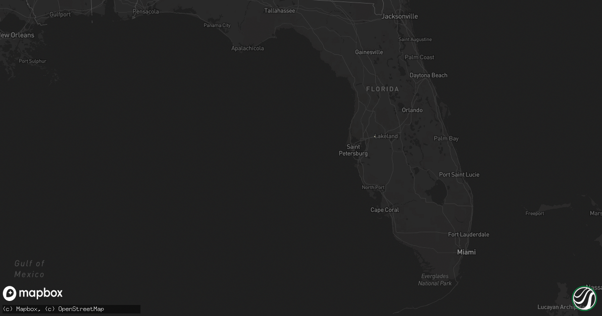
Hail Map in Florida on August 20, 2018
Get this storm
August 20 map
$229
one time, instant access
Download today. No call, no setup
Keep the $229
Bought the map and want the full workflow? Apply the entire $229 to a subscription within 7 days. None of it is wasted.
Every map, not just this one
This buys you this map. Subscription and you get every map we run, in the markets you choose from a few cities to whole states to nationwide. Plus real-time alerts the moment a storm fires.
Contact data
Name, contact info, occupancy, even credit band for addresses in the footprint. You go from where it hit to who to call.
Become the source they trust
Unlimited branding weather history reports on demand. You already have the documented answer ready for the property owner, and you are the one who showed up with it.
Property data and RoofTrace estimates
Pull up any address you have got, its value and the exact code rules for that jurisdiction, straight from One Click Code. Then RoofTrace estimates the squares, pitch, and roof value, priced the way you price.
Storm reports in Florida
Florida
| Date | Description |
|---|---|
| 08/20/20182:55 PM CDT | 3 trees down in neighborhood on northeast side of tallahassee. |
| 08/19/201811:08 PM CDT | At 408 PM EDT, a severe thunderstorm was located 12 miles southwest of Thomasville, moving northeast at 25 mph. HAZARD...60 mph wind gusts. SOURCE...Radar indicated. IMPACT...Expect damage to roofs, siding, and trees. Locations impacted include... Thomasville, Boston, Moccasin Gap, Dawesville, Moncrief, Newark, Pasco, Eason, Beachton, Iamonia and Metcalf. |
All States Impacted by Hail Map on August 20, 2018
Cities Impacted by Hail Map on August 20, 2018
- Pima, AZ
- Dermott, AR
- Lake Village, AR
- Minter City, MS
- Drew, MS
- Shaw, MS
- Cleveland, MS
- Doddsville, MS
- Ruleville, MS
- Boyle, MS
- Sierra Vista, AZ
- Benoit, MS
- Greenville, MS
- Sterlington, LA
- Tucson, AZ
- Metropolis, IL
- Paducah, KY
- Brookport, IL
- West Paducah, KY
- Cottonwood, AZ
- Downsville, LA
- Tubac, AZ
- Holly Grove, AR
- Clarendon, AR
- Douglas, AZ
- Nogal, NM
- Sahuarita, AZ
- Conway, AR
- Sherwood, AR
- Jacksonville, AR
- Lambert, MS
- Tutwiler, MS
- Peridot, AZ
- San Carlos, AZ
- Pasadena, TX
- Huttig, AR
- Strong, AR
- West Monroe, LA
- Winslow, AZ
- Leland, MS
- Prescott Valley, AZ
- Dewey, AZ
- Bentonia, MS
- Benton, MS
- Deming, NM
- Etoile, TX
- Marvell, AR
- Poplar Grove, AR
- Rio Rico, AZ
- Marks, MS
- Tombstone, AZ
- Crossett, AR
- Sledge, MS
- Coahoma, MS
- Dundee, MS
- Helena, AR
- Crenshaw, MS
- Hamburg, AR
- Mescalero, NM
- Georgetown, TX
- Eros, LA
- Dubach, LA
- Merigold, MS
- Lexa, AR
- West Helena, AR
- Batesville, MS
- Marathon, TX
- Bernice, LA
- Sells, AZ
- Clarkdale, AZ
- Deer Park, TX
- Doniphan, MO
- Alton, MO
- Baytown, TX
- La Porte, TX
- Quitman, LA
- Benson, AZ
- Lyon, MS
- Clarksdale, MS
- Courtland, MS
- Charleston, MS
- Enid, MS
- Water Valley, MS
- Sardis, MS
- Pope, MS
- Oakland, MS
- Dryden, TX
- Palestine, AR
- Crocketts Bluff, AR
- De Witt, AR
- Wabash, IN
- La Fontaine, IN
- Nogales, AZ
- Elizabeth, IN
- New Middletown, IN
- Corydon, IN
- Farmerville, LA
- Mason, TX
- Marion, LA
- Sheffield, TX
- Hermitage, AR
- Sunflower, MS
- Gatewood, MO
- Wheatley, AR
- Brinkley, AR
- Spearsville, LA
- Shongaloo, LA
- Ward, AR
- McCrory, AR
- Beulah, MS
- Waverly, GA
- Cabot, AR
- Jonesboro, LA
- Eudora, AR
- Ruston, LA
- Bryan, TX
- Hearne, TX
- Haynesville, LA
- Junction City, AR
- Lillie, LA
- Hollandale, MS
- Oxford, MS
- Taylor, MS
- Patagonia, AZ
- Magnolia, AR
- Arcadia, LA
- Homer, LA
- Indianola, MS
- Huntington, TX
- Fremont, MO
- Des Arc, AR
- Dillon, MT
- Amado, AZ
- Bastrop, LA
- Converse, IN
- Amboy, IN
- Portland, AR
- Gibsland, LA
- Cotton Plant, AR
- Monticello, AR
- Marianna, AR
- Bald Knob, AR
- Augusta, AR
- Montrose, AR
- Griffithville, AR
- Mantee, MS
- Maben, MS
- Monroe, LA
- Watson, AR
- Colt, AR
- Lumberton, TX
- Greenwood, MS
- Holcomb, MS
- Carrollton, MS
- Saint David, AZ
- Fountain Hill, AR
- Hunter, AR
- Plant City, FL
- Dover, FL
- Hughes, AR
- Widener, AR
- Heth, AR
- Calhoun, LA
- Tumacacori, AZ
- Royal Center, IN
- Kewanna, IN


