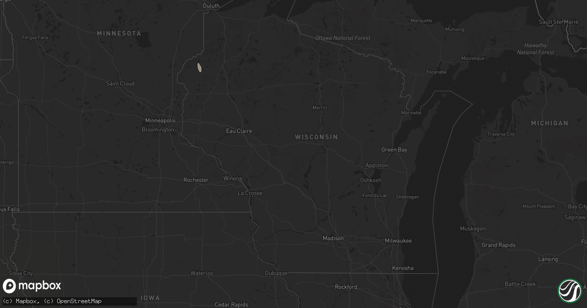
Hail Map in Wisconsin on June 26, 2013
Get this storm
June 26 map
$229
one time, instant access
Download today. No call, no setup
Keep the $229
Bought the map and want the full workflow? Apply the entire $229 to a subscription within 7 days. None of it is wasted.
Every map, not just this one
This buys you this map. Subscription and you get every map we run, in the markets you choose from a few cities to whole states to nationwide. Plus real-time alerts the moment a storm fires.
Contact data
Name, contact info, occupancy, even credit band for addresses in the footprint. You go from where it hit to who to call.
Become the source they trust
Unlimited branding weather history reports on demand. You already have the documented answer ready for the property owner, and you are the one who showed up with it.
Property data and RoofTrace estimates
Pull up any address you have got, its value and the exact code rules for that jurisdiction, straight from One Click Code. Then RoofTrace estimates the squares, pitch, and roof value, priced the way you price.
Storm reports in Wisconsin
Wisconsin
| Date | Description |
|---|---|
| 06/26/20135:30 PM CDT | A local report indicates 1.00 inch wind near MERRILL |
| 06/26/20135:07 PM CDT | Trees down on power line and house. Relayed from sheriff. Time estimated. |
| 06/26/20135:00 PM CDT | A local report indicates 1.25 inch wind near SIREN |
| 06/26/20134:56 PM CDT | A local report indicates 1.00 inch wind near TOMAHAWK |
| 06/26/20132:00 PM CDT | Several two inch diameter branches down in town. One and eight tenths inches of rainfall also recorded with passage of storm. |
| 06/26/20133:00 AM CDT | A wet microburst with winds at least 75 mph snapped or damaged over three dozen maple and oak trees west of hwy 141. About 3 inches of rain fell with the storm. |
All States Impacted by Hail Map on June 26, 2013
Cities Impacted by Hail Map on June 26, 2013
- Darien, GA
- Townsend, GA
- Mayfield, KY
- Sandoval, IL
- Odin, IL
- Kell, IL
- Centralia, IL
- Salem, IL
- North Charleston, SC
- Johns Island, SC
- Charleston, SC
- Hanahan, SC
- Ravenel, SC
- Nebo, NC
- Morganton, NC
- Webster, WI
- Siren, WI
- Ramsey, IN
- Crandall, IN
- Depauw, IN
- New Salisbury, IN
- Corydon, IN
- Wing, ND
- Perryville, MO
- Saint Mary, MO
- Fredericksburg, VA
- Verdigre, NE
- Winnetoon, NE
- Orchard, NE
- Sapelo Island, GA
- Wadmalaw Island, SC
- Charleston Afb, SC
- Sedalia, KY
- Wingo, KY
- Palmersville, TN
- Fulton, KY
- Cottage Grove, TN
- Paris, TN
- Dukedom, TN
- Dresden, TN
- McKenzie, TN
- Cedar Hill, MO
- House Springs, MO
- Hillsboro, MO
- Hardinsburg, IN
- Marengo, IN
- Paoli, IN
- Milltown, IN
- English, IN
- Iuka, IL
- Alma, IL
- Patoka, IL
- Linden, VA
- Front Royal, VA
- Texico, IL
- Vincennes, IN
- Lawrenceville, IL
- Saint Francisville, IL
- Dundas, IL
- Olney, IL
- Willow Hill, IL
- Sumner, IL
- Claremont, IL
- West Liberty, IL
- Bridgeport, IL
- Mizpah, MN
- Northome, MN
- Kelliher, MN
- Wirt, MN
- Max, MN


