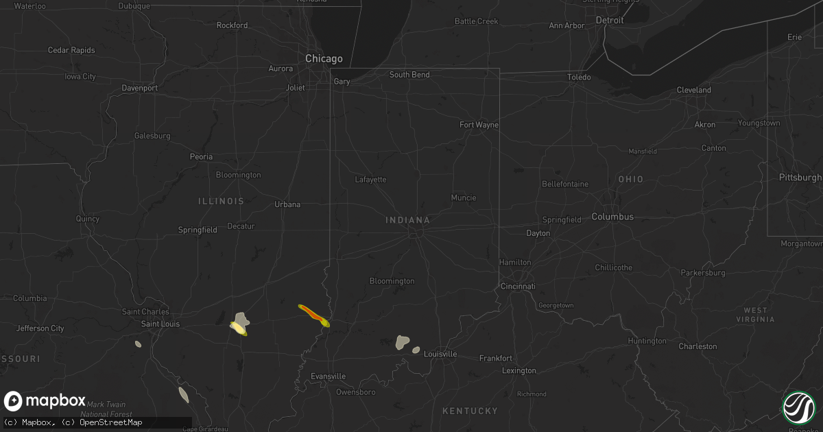
Hail Map in Indiana on June 26, 2013
Get this storm
June 26 map
$229
one time, instant access
Download today. No call, no setup
Keep the $229
Bought the map and want the full workflow? Apply the entire $229 to a subscription within 7 days. None of it is wasted.
Every map, not just this one
This buys you this map. Subscription and you get every map we run, in the markets you choose from a few cities to whole states to nationwide. Plus real-time alerts the moment a storm fires.
Contact data
Name, contact info, occupancy, even credit band for addresses in the footprint. You go from where it hit to who to call.
Become the source they trust
Unlimited branding weather history reports on demand. You already have the documented answer ready for the property owner, and you are the one who showed up with it.
Property data and RoofTrace estimates
Pull up any address you have got, its value and the exact code rules for that jurisdiction, straight from One Click Code. Then RoofTrace estimates the squares, pitch, and roof value, priced the way you price.
Storm reports in Indiana
Indiana
| Date | Description |
|---|---|
| 06/26/20136:16 PM CDT | Late report from evening of 6/26. Possible tornado. Large equipment shed destroyed. |
| 06/26/20134:51 PM CDT | 4 inch diameter tree limb downed in the 500 block of church street. Time estimated from radar. |
| 06/26/20133:26 PM CDT | Tree on a house... Cars damaged... Garage with damage and outbuilding destroyed on twin ponds road. |
| 06/26/20132:00 PM CDT | Numerous trees and power lines downed. |
| 06/26/20131:58 PM CDT | Numerous trees and power lines downed. |
| 06/26/20131:56 PM CDT | A local report indicates 67 MPH wind near 3 NE MITCHELL |
| 06/26/20131:22 PM CDT | Second hand report of a tree down onto a home on south spring road near the park |
| 06/26/20131:18 PM CDT | Red maple tree branches blown down...described as big as medium size.. Second hand report |
| 06/25/20138:51 PM CDT | A local report indicates 60 MPH wind near SANTA CLAUS |
| 06/25/20138:45 PM CDT | Trees and power lines down in grandview and rockport |
| 06/25/20138:38 PM CDT | Transformers arcing |
| 06/25/20138:29 PM CDT | An ef1 tornado touched down southwest of troy and moved southeast through tell city lifting just north of cannelton. The path length was 5.15 miles with wind speeds up |
| 06/25/20138:00 PM CDT | Late report. Lots of trees down and/or large limbs snapped on the west side of us 41 just north of 350s. Some of the trees and tree limbs produced some damage to houses |
| 06/25/20137:45 PM CDT | Numeous trees down. |
| 06/25/20137:13 PM CDT | Trees reported down. |
| 06/25/20137:10 PM CDT | Numerous trees down along hwy 62 between corydon and leavenworth. |
| 06/25/20137:03 PM CDT | Tree limbs downed along state route 61. Time estimated from radar. |
All States Impacted by Hail Map on June 26, 2013
Cities Impacted by Hail Map on June 26, 2013
- Darien, GA
- Townsend, GA
- Mayfield, KY
- Sandoval, IL
- Odin, IL
- Kell, IL
- Centralia, IL
- Salem, IL
- North Charleston, SC
- Johns Island, SC
- Charleston, SC
- Hanahan, SC
- Ravenel, SC
- Nebo, NC
- Morganton, NC
- Webster, WI
- Siren, WI
- Ramsey, IN
- Crandall, IN
- Depauw, IN
- New Salisbury, IN
- Corydon, IN
- Wing, ND
- Perryville, MO
- Saint Mary, MO
- Fredericksburg, VA
- Verdigre, NE
- Winnetoon, NE
- Orchard, NE
- Sapelo Island, GA
- Wadmalaw Island, SC
- Charleston Afb, SC
- Sedalia, KY
- Wingo, KY
- Palmersville, TN
- Fulton, KY
- Cottage Grove, TN
- Paris, TN
- Dukedom, TN
- Dresden, TN
- McKenzie, TN
- Cedar Hill, MO
- House Springs, MO
- Hillsboro, MO
- Hardinsburg, IN
- Marengo, IN
- Paoli, IN
- Milltown, IN
- English, IN
- Iuka, IL
- Alma, IL
- Patoka, IL
- Linden, VA
- Front Royal, VA
- Texico, IL
- Vincennes, IN
- Lawrenceville, IL
- Saint Francisville, IL
- Dundas, IL
- Olney, IL
- Willow Hill, IL
- Sumner, IL
- Claremont, IL
- West Liberty, IL
- Bridgeport, IL
- Mizpah, MN
- Northome, MN
- Kelliher, MN
- Wirt, MN
- Max, MN


