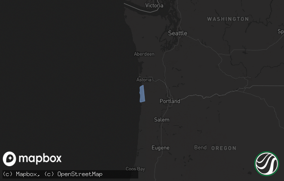
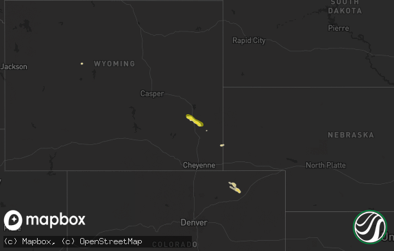
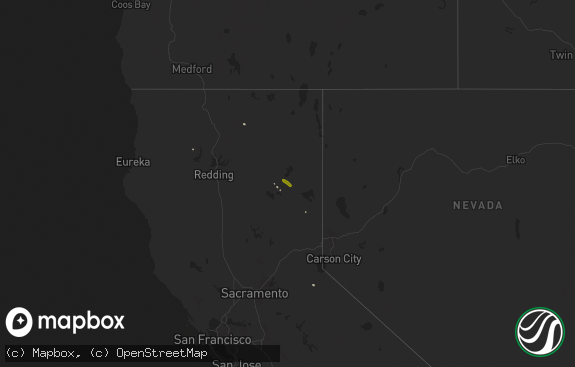
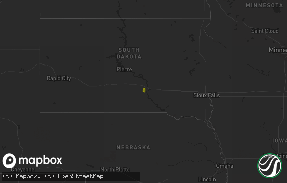
Hail Map in Oregon on May 4, 2017
The weather event in Oregon on May 4, 2017 includes Hail map. 6 states and 79 cities were impacted and suffered possible damage. The total estimated number of properties impacted is 10,523.

Hail
10,523
Estimated number of impacted properties by a 1.00" hail or larger6,507
Estimated number of impacted properties by a 1.75" hail or larger0
Estimated number of impacted properties by a 2.50" hail or largerStorm reports in Oregon
Oregon
| Date | Description |
|---|---|
| 05/04/20176:00 PM CDT | Trees and branches blown down in vicinity of oneonta gorge and horsetail falls trails injured a few hikers. Emergency officials responded to one injured hiker with poss |
| 05/04/20174:55 PM CDT | The caller said it could have easily been larger. |
| 05/04/20171:15 AM CDT | Hail from three-quarter inch to one inch in diameter. |
| 05/04/20171:15 AM CDT | A local report indicates 1.50 inch wind near 3 W MADRAS |
| 05/04/20171:10 AM CDT | Public post on nws facebook page with photo. |
| 05/04/20171:00 AM CDT | Public post on ktvz facebook page...includes photo of hail. |
| 05/04/201712:50 AM CDT | A local report indicates 1.00 inch wind near 9 NW TERREBONNE |
| 05/04/201712:45 AM CDT | Crooked river ranch. |
| 05/04/201712:30 AM CDT | A local report indicates 2.00 inch wind near NW BEND |
| 05/03/201711:21 PM CDT | Spotter reported downed trees along road. Not sure about timing... So left as is. |
| 05/03/201711:16 PM CDT | Downed trees reported near the road. Not sure when this occurred so left time as is. Location near lost creek lake and highway 62. |
| 05/03/201710:00 PM CDT | Time estimated. |
| 05/03/201710:00 PM CDT | Hail measured from residual piles along road roughly 20 hours after event. Time estimated from radar. |
| 05/03/201710:00 PM CDT | Multiple trees down and numerous limbs. Time estimated from radar. |
| 05/03/20179:25 PM CDT | Winds brought down power lines... And with trees smoking. This along highway 47... Between top hill and johnson road. |
| 05/03/20179:20 PM CDT | Report from social media. Time estimated based on radar. |
| 05/03/20179:15 PM CDT | Hail preserved in snow pack. Extensive tree litter from hail damage for approx 4 miles east and 8 miles south along highway 62. Time estimated from radar. |
| 05/03/20179:00 PM CDT | Public sent in a picture of quarter size hail occurring at casey state recreational site near trail. This hail fell around 7:00 pm. |
| 05/03/20179:00 PM CDT | Hail preserved in snow pack. Extensive tree litter from hail damage for approx 4 miles east and 8 miles south along highway 62. Time estimated from radar. |
| 05/03/20179:00 PM CDT | Hail measured from residual piles along road roughly 20 hours after event. Time estimated from radar. |
| 05/03/20179:00 PM CDT | Picture of hail in excess of 1 inch in diameter. |
| 05/03/20179:00 PM CDT | Multiple trees down and numerous limbs. Time estimated from radar. |
| 05/03/20178:55 PM CDT | Public sent in picture of hail about the size of a golf ball at mile post 55 on highway 62 near the natural bridge viewpoint. |
| 05/03/20177:45 PM CDT | A local report indicates 1.00 inch wind near 1 NNW EAGLE POINT |
All States Impacted by Hail Map on May 4, 2017
Cities Impacted by Hail Map on May 4, 2017
- Butte Falls, OR
- Fort Jones, CA
- Jacksonville, FL
- Saint Johns, FL
- Jesup, GA
- Hortense, GA
- Eagle Point, OR
- Ashland, OR
- Mineral, WA
- Prosser, WA
- Prospect, OR
- Trail, OR
- Shady Cove, OR
- Bickleton, WA
- Callahan, CA
- Etna, CA
- Sunnyside, WA
- Clewiston, FL
- Screven, GA
- Ludowici, GA
- Mabton, WA
- Grandview, WA
- Mattawa, WA
- Royal City, WA
- Mossyrock, WA
- Moses Lake, WA
- Hartline, WA
- Coulee City, WA
- Marlin, WA
- Condon, OR
- Othello, WA
- Arlington, OR
- Roosevelt, WA
- Benton City, WA
- Myrtle Creek, OR
- Almira, WA
- Jacksonville, OR
- Eltopia, WA
- Pasco, WA
- Mesa, WA
- Walterboro, SC
- West Richland, WA
- Kennewick, WA
- Richland, WA
- Buckley, WA
- Enumclaw, WA
- Centralia, WA
- Tenino, WA
- Olympia, WA
- Rochester, WA
- Grand Coulee, WA
- Tiller, OR
- Richmond Hill, GA
- Medford, OR
- Morton, WA
- Stratford, WA
- Soap Lake, WA
- Warden, WA
- Skykomish, WA
- Yreka, CA
- Toutle, WA
- Stevenson, WA
- Vernonia, OR
- Buxton, OR
- Manning, OR
- Gales Creek, OR
- Gaston, OR
- Timber, OR
- Banks, OR
- Forest Grove, OR
- Culver, OR
- Camp Sherman, OR
- Redmond, OR
- Sisters, OR
- Bend, OR
- Madras, OR
- Terrebonne, OR
- Roseburg, OR
- Idleyld Park, OR
