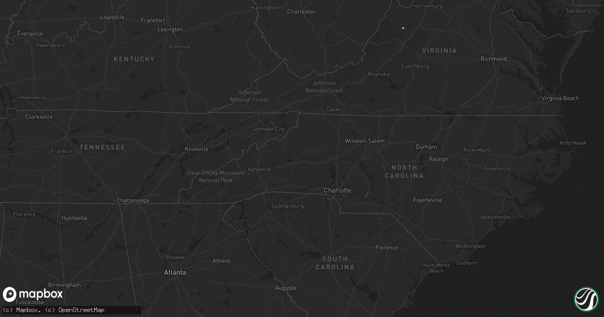
Hail Map in West Virginia on March 31, 2022
Get this storm
March 31 map
$229
one time, instant access
Download today. No call, no setup
Keep the $229
Bought the map and want the full workflow? Apply the entire $229 to a subscription within 7 days. None of it is wasted.
Every map, not just this one
This buys you this map. Subscription and you get every map we run, in the markets you choose from a few cities to whole states to nationwide. Plus real-time alerts the moment a storm fires.
Contact data
Name, contact info, occupancy, even credit band for addresses in the footprint. You go from where it hit to who to call.
Become the source they trust
Unlimited branding weather history reports on demand. You already have the documented answer ready for the property owner, and you are the one who showed up with it.
Property data and RoofTrace estimates
Pull up any address you have got, its value and the exact code rules for that jurisdiction, straight from One Click Code. Then RoofTrace estimates the squares, pitch, and roof value, priced the way you price.
Storm reports in West Virginia
West Virginia
| Date | Description |
|---|---|
| 03/31/20224:26 PM CDT | 3 trees down near the intersection of falls road and highview farms road |
| 03/31/20223:39 PM CDT | Hail covering the ground. Mostly dimes with a few quarters mixed in. |
| 03/31/20222:35 PM CDT | Trees down. |
| 03/31/20222:17 PM CDT | A local report indicates 1.00 inch wind near MCCOOLE |
| 03/31/202212:13 PM CDT | Tree down on midland trail. |
| 03/31/202212:13 PM CDT | Tree down on deep water mountain road. |
| 03/31/202212:56 AM CDT | At 555 PM EDT, a severe thunderstorm was located over Martinsburg, moving northeast at 55 mph. HAZARD...60 mph wind gusts and quarter size hail. SOURCE...Radar indicated. IMPACT...Damaging winds will cause some trees and large branches to fall. This could injure those outdoors, as well as damage homes and vehicles. Roadways may become blocked by downed trees. Localized power outages are possible. Unsecured light objects may become projectiles. Locations impacted include... Hagerstown, Martinsburg, Thurmont, Emmitsburg, Shepherdstown, Municipal Stadium, Robinwood, Boonsboro, Smithsburg, Williamsport, Mount Aetna, Mount Lena, San Mar, Wolfsville, Saint James, Berkeley, Halfway, Myersville, Cavetown and Keedysville. |
| 03/30/202211:35 PM CDT | At 435 PM EDT, a severe thunderstorm was located over Greenbrier River Trail, or near Lewisburg, moving northeast at 65 mph. HAZARD...60 mph wind gusts and quarter size hail. SOURCE...Radar indicated. IMPACT...Hail damage to vehicles is expected. Expect wind damage to roofs, siding, and trees. Locations impacted include... Lewisburg... White Sulphur Springs... Warm Springs... Neola... Hot Springs... Lake Moomaw... and Greenbrier River Trail. |
| 03/30/202210:11 PM CDT | At 310 PM EDT, a severe thunderstorm was located over Craigsville, or 7 miles northwest of Richwood, moving east at 50 mph. HAZARD...60 mph wind gusts and quarter size hail. SOURCE...Radar indicated. IMPACT...Hail damage to vehicles is expected. Expect wind damage to roofs, siding, and trees. Locations impacted include... Richwood, Marlinton, Webster Springs, Addison (Webster Springs), Camden-On-gauley, Craigsville, Snowshoe, Camden On Gauley, Mingo, Cowen, Monterville, Slaty Fork, Upper Glade, Waneta, Edray, Valley Head and Bergoo. |
| 03/30/20229:50 PM CDT | At 250 PM EDT, severe thunderstorms were located along a line extending from near Frostburg to near Elk Garden, moving east at 30 mph. HAZARD...60 mph wind gusts. SOURCE...Radar indicated. IMPACT...Damaging winds will cause some trees and large branches to fall. This could injure those outdoors, as well as damage homes and vehicles. Roadways may become blocked by downed trees. Localized power outages are possible. Unsecured light objects may become projectiles. Locations impacted include... Cumberland, Frostburg, Keyser, Westernport, Bel Air, La Vale, Fort Ashby, Lonaconing, Piedmont, Ridgeley, Cresaptown, Potomac Park, Wiley Ford, Eckhart Mines, Mount Savage, Rawlings, Ellerslie, Barton, Corriganville and Midland. |
| 03/30/20228:34 PM CDT | At 133 PM EDT, a severe thunderstorm was located near Terra Alta, moving northeast at 45 mph. HAZARD...60 mph wind gusts. SOURCE...Radar indicated. IMPACT...Damaging winds will cause some trees and large branches to fall. This could injure those outdoors, as well as damage homes and vehicles. Roadways may become blocked by downed trees. Localized power outages are possible. Unsecured light objects may become projectiles. Locations impacted include... Bittinger, Grantsville, Friendsville, Accident, Keysers Ridge, Jennings, Mineral Spring, Swallow Falls State Park, McHenry, Selbysport, New Germany, Piney Grove, McComas Beach and Deep Creek Lake State Park. |
All States Impacted by Hail Map on March 31, 2022
Cities Impacted by Hail Map on March 31, 2022
- New Columbia, PA
- Circleville, WV
- Craigsville, VA
- Goshen, VA
- Bellefonte, PA
- Port Saint Joe, FL
- Wewahitchka, FL
- Eastpoint, FL
- Apalachicola, FL
- Norwood, NC
- Polkton, NC
- McLean, VA
- Evansville, IN
- Kittanning, PA
- Dayton, PA
- Lairdsville, PA
- Hughesville, PA
- Muncy, PA
- Westernport, MD
- Keyser, WV
- Rawlings, MD
- Westminster, MD
- Hampstead, MD
- New Windsor, MD
- New Bethlehem, PA
- Vandergrift, PA
- Freeport, PA
- Templeton, PA
- Leechburg, PA
- Brookville, PA
- Punxsutawney, PA
- Knox Dale, PA
- Ford City, PA
- Timblin, PA
- Mayport, PA
- Coolspring, PA
- Sprankle Mills, PA
- Ford Cliff, PA
- McGrann, PA
- Manorville, PA
- Reynoldsville, PA
- Worthville, PA
- Summerville, PA
- Ringgold, PA
- North Apollo, PA
- Spring Church, PA
- Apollo, PA
- Port Allegany, PA
- Shinglehouse, PA
- Lamar, PA
- Williamsport, PA
- Loganton, PA
- Mill Hall, PA
- Jersey Shore, PA
- Howard, PA
- Linden, PA
- Lock Haven, PA
- Montoursville, PA
- Dry Run, PA
- Shade Gap, PA
- Fort Littleton, PA
- Crystal Spring, PA
- Everett, PA
- Waterfall, PA
- Orbisonia, PA
- Doylesburg, PA
- Spring Run, PA
- Neelyton, PA
- Harrisonville, PA
- Three Springs, PA
- Orrstown, PA
- Hustontown, PA
- Wells Tannery, PA
- Willow Hill, PA
- Burnt Cabins, PA
- Fannettsburg, PA
- Breezewood, PA
- Lopez, PA
- Jermyn, PA
- Clarks Summit, PA
- Dushore, PA
- Olyphant, PA
- Falls, PA
- Mehoopany, PA
- Waverly, PA
- Unityville, PA
- Factoryville, PA
- Muncy Valley, PA
- Tunkhannock, PA
- Benton, PA
- Noxen, PA
- Harveys Lake, PA
- Carbondale, PA
- Dalton, PA
- Capon Bridge, WV
- Cross Junction, VA
- Gore, VA
- High View, WV
- Bloomery, WV
- Augusta, WV
- Douglas, GA
- Willacoochee, GA
- Alapaha, GA
- Ambrose, GA
- Broxton, GA
- West Green, GA


