Hail Map in Virginia on March 31, 2022
Get this storm
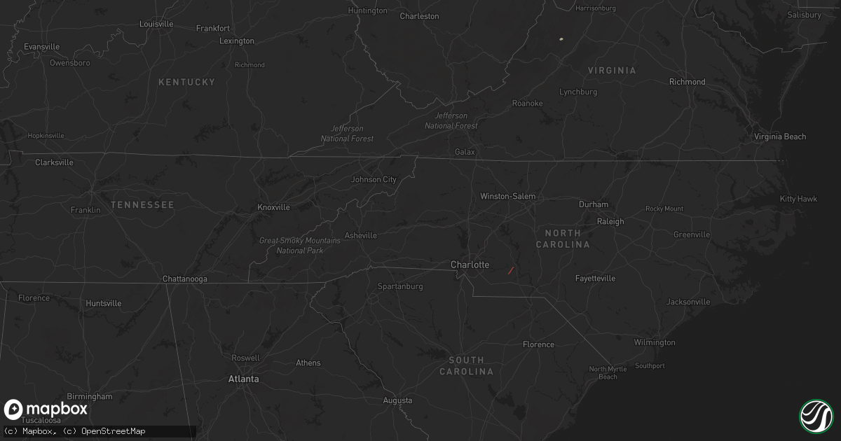
March 31 map
$229
one time, instant access
Download today. No call, no setup
Keep the $229
Bought the map and want the full workflow? Apply the entire $229 to a subscription within 7 days. None of it is wasted.
Every map, not just this one
This buys you this map. Subscription and you get every map we run, in the markets you choose from a few cities to whole states to nationwide. Plus real-time alerts the moment a storm fires.
Contact data
Name, contact info, occupancy, even credit band for addresses in the footprint. You go from where it hit to who to call.
Become the source they trust
Unlimited branding weather history reports on demand. You already have the documented answer ready for the property owner, and you are the one who showed up with it.
Property data and RoofTrace estimates
Pull up any address you have got, its value and the exact code rules for that jurisdiction, straight from One Click Code. Then RoofTrace estimates the squares, pitch, and roof value, priced the way you price.
Storm reports in Virginia
Virginia
| Date | Description |
|---|---|
| 03/31/202212:45 PM CDT | Two trees down from wind. Cleared off the road. |
| 03/31/20223:14 AM CDT | At 814 PM EDT, a severe thunderstorm was located 8 miles southeast of Massanutten, or 15 miles southeast of Harrisonburg, moving northeast at 45 mph. HAZARD...60 mph wind gusts and quarter size hail. SOURCE...Radar indicated. IMPACT...Damaging winds will cause some trees and large branches to fall. This could injure those outdoors, as well as damage homes and vehicles. Roadways may become blocked by downed trees. Localized power outages are possible. Unsecured light objects may become projectiles. Locations impacted include... Madison, Stanardsville, Elkton, Brightwood, Lydia, Haywood, Haneytown, Syria, Banco, Reva, Leon, Shady Grove, Hood, Mcmullen, Criglersville, Slate Mills, Etlan, Nethers, Pratts and Mission Home. |
| 03/31/20222:34 AM CDT | At 734 PM EDT, severe thunderstorms were located along a line extending from 6 miles west of Warrenton to 7 miles north of Culpeper, moving east at 50 mph. HAZARD...60 mph wind gusts and quarter size hail. SOURCE...Radar indicated. IMPACT...Damaging winds will cause some trees and large branches to fall. This could injure those outdoors, as well as damage homes and vehicles. Roadways may become blocked by downed trees. Localized power outages are possible. Unsecured light objects may become projectiles. Locations impacted include... Warrenton, Bealeton, New Baltimore, Opal, Turnbull, Airlie, Broken Hill, Rixeyville and Jeffersonton. |
| 03/31/202212:19 AM CDT | At 519 PM EDT, severe thunderstorms were located along a line extending from 7 miles south of Paw Paw to 8 miles north of Star Tannery to near Wardensville, moving east at 50 mph. HAZARD...60 mph wind gusts and quarter size hail. SOURCE...Radar indicated. IMPACT...Damaging winds will cause some trees and large branches to fall. This could injure those outdoors, as well as damage homes and vehicles. Roadways may become blocked by downed trees. Localized power outages are possible. Unsecured light objects may become projectiles. Locations impacted include... Winchester, Martinsburg, Charles Town, Millwood Pike, Ranson, Berryville, Inwood, Stephens City, Star Tannery, Boyce, Middleway, Capon Bridge, High View, Cedar Grove, Clear Brook, Ridgeway, Bunker Hill, Bloomery, Stephenson and Cross Junction. |
| 03/30/202211:33 PM CDT | At 433 PM EDT, a severe thunderstorm was located 12 miles north of Monterey, moving east at 40 mph. HAZARD...60 mph wind gusts and quarter size hail. SOURCE...Radar indicated. IMPACT...Damaging winds will cause some trees and large branches to fall. This could injure those outdoors, as well as damage homes and vehicles. Roadways may become blocked by downed trees. Localized power outages are possible. Unsecured light objects may become projectiles. Locations impacted include... Franklin, Circleville, Riverton and Cherry Grove. |
| 03/30/202211:18 PM CDT | At 417 PM EDT, a severe thunderstorm was located near Snowshoe, or 7 miles west of Cass Scenic Railroad, moving east at 45 mph. HAZARD...60 mph wind gusts and quarter size hail. SOURCE...Radar indicated. IMPACT...Hail damage to vehicles is expected. Expect wind damage to roofs, siding, and trees. Locations impacted include... Cass Scenic Railroad, Greenbank, Snowshoe, Durbin, Dunmore, Arbovale, Bartow, Slaty Fork and Boyer. |
| 03/30/202210:01 PM CDT | At 301 PM EDT, a severe thunderstorm was located 8 miles northwest of Newsoms, or 8 miles north of Boykins, moving northeast at 45 mph. HAZARD...60 mph wind gusts. SOURCE...Radar indicated. IMPACT...Expect damage to trees and powerlines. This severe thunderstorm will be near... Courtland around 310 PM EDT. Sedley around 320 PM EDT. Wakefield and Ivor around 330 PM EDT.Other locations impacted by this severe thunderstorm includeVicksville, Whitley, Dory, Berlin, Sebrell, Drewryville, Manry,Joyner, Shiloh and Worrell. |
| 03/30/20229:21 PM CDT | At 221 PM EDT, a severe thunderstorm was located near Roanoke Rapids, moving northeast at 60 mph. HAZARD...60 mph wind gusts. SOURCE...Radar indicated. IMPACT...Expect damage to trees and powerlines. This severe thunderstorm will be near... Dahlia and Seaboard around 230 PM EDT. Claresville and Green Plain around 240 PM EDT. Sussex and Homeville around 300 PM EDT.Other locations impacted by this severe thunderstorm includeVicksville, Adams Grove, Grizzard, Lanes Corner, Yale, Lumberton,Bryants Corner, Worrell, Hilda and Dory. |
| 03/30/20229:16 PM CDT | At 216 PM EDT, a severe thunderstorm was located near Bon Air, moving northeast at 60 mph. HAZARD...60 mph wind gusts. SOURCE...Radar indicated. IMPACT...Expect damage to trees and powerlines. This severe thunderstorm will be near... Bon Air, University Of Richmond and Tuckahoe around 225 PM EDT. Richmond, Virginia Union University, Laurel, Lakeside, East Highland Park and Wyndham around 230 PM EDT. Randolph Macon College, Mechanicsville and Glen Allen around 235 PM EDT. Ashland around 240 PM EDT.Other locations impacted by this severe thunderstorm include SolomonsStore, Chamberlayne, Atlee, Ashcake, Greendale, Hanover Airport,Roslyn Hills, Dumbarton, Midlothian and Elmont. |
| 03/30/20228:31 PM CDT | At 130 PM EDT, a severe thunderstorm was located over Kenbridge, moving northeast at 50 mph. HAZARD...60 mph wind gusts. SOURCE...Radar indicated. IMPACT...Expect damage to trees and powerlines. This severe thunderstorm will be near... Nottoway and Fort Pickett around 140 PM EDT. Blackstone around 145 PM EDT. Spainville and Wilsons around 150 PM EDT.Other locations impacted by this severe thunderstorm include NorthWellville, Irby, Earls, Murdocks, Forkland, The Falls, Wellville,Dominy Corner, Clay Store and Blackstone Airport. |
| 03/30/20228:29 PM CDT | At 128 PM EDT, a severe thunderstorm was located over Scotts Fork, or near Mannboro, moving northeast at 50 mph. HAZARD...60 mph wind gusts. SOURCE...Radar indicated. IMPACT...Expect damage to trees and powerlines. This severe thunderstorm will be near... Moseley around 140 PM EDT. Manakin around 155 PM EDT. Bon Air, University Of Richmond and Tuckahoe around 200 PM EDT. Richmond, Lakeside and Wyndham around 205 PM EDT. Mechanicsville, Glen Allen and Laurel around 210 PM EDT.Other locations impacted by this severe thunderstorm includePilkinton, Midlothian, Elmont, Short Pump, Longdale, Skinquarter,Solomons Store, Chamberlayne, Atlee and Greendale. |
| 03/30/20227:43 PM CDT | A ceiling panel became dislodged and landed on the outbound track at tysons corner. |
| 03/30/20227:41 PM CDT | Damage to the roof of a gas station off of chain bridge road. |
| 03/30/20227:41 PM CDT | Damage to the roof of a gas station off of chain bridge road. Metal cover was ripped off of gas pumps. |
All States Impacted by Hail Map on March 31, 2022
Cities Impacted by Hail Map on March 31, 2022
- New Columbia, PA
- Circleville, WV
- Craigsville, VA
- Goshen, VA
- Bellefonte, PA
- Port Saint Joe, FL
- Wewahitchka, FL
- Eastpoint, FL
- Apalachicola, FL
- Norwood, NC
- Polkton, NC
- McLean, VA
- Evansville, IN
- Kittanning, PA
- Dayton, PA
- Lairdsville, PA
- Hughesville, PA
- Muncy, PA
- Westernport, MD
- Keyser, WV
- Rawlings, MD
- Westminster, MD
- Hampstead, MD
- New Windsor, MD
- New Bethlehem, PA
- Vandergrift, PA
- Freeport, PA
- Templeton, PA
- Leechburg, PA
- Brookville, PA
- Punxsutawney, PA
- Knox Dale, PA
- Ford City, PA
- Timblin, PA
- Mayport, PA
- Coolspring, PA
- Sprankle Mills, PA
- Ford Cliff, PA
- McGrann, PA
- Manorville, PA
- Reynoldsville, PA
- Worthville, PA
- Summerville, PA
- Ringgold, PA
- North Apollo, PA
- Spring Church, PA
- Apollo, PA
- Port Allegany, PA
- Shinglehouse, PA
- Lamar, PA
- Williamsport, PA
- Loganton, PA
- Mill Hall, PA
- Jersey Shore, PA
- Howard, PA
- Linden, PA
- Lock Haven, PA
- Montoursville, PA
- Dry Run, PA
- Shade Gap, PA
- Fort Littleton, PA
- Crystal Spring, PA
- Everett, PA
- Waterfall, PA
- Orbisonia, PA
- Doylesburg, PA
- Spring Run, PA
- Neelyton, PA
- Harrisonville, PA
- Three Springs, PA
- Orrstown, PA
- Hustontown, PA
- Wells Tannery, PA
- Willow Hill, PA
- Burnt Cabins, PA
- Fannettsburg, PA
- Breezewood, PA
- Lopez, PA
- Jermyn, PA
- Clarks Summit, PA
- Dushore, PA
- Olyphant, PA
- Falls, PA
- Mehoopany, PA
- Waverly, PA
- Unityville, PA
- Factoryville, PA
- Muncy Valley, PA
- Tunkhannock, PA
- Benton, PA
- Noxen, PA
- Harveys Lake, PA
- Carbondale, PA
- Dalton, PA
- Capon Bridge, WV
- Cross Junction, VA
- Gore, VA
- High View, WV
- Bloomery, WV
- Augusta, WV
- Douglas, GA
- Willacoochee, GA
- Alapaha, GA
- Ambrose, GA
- Broxton, GA
- West Green, GA


