Hail Map in Florida on March 31, 2022
Get this storm
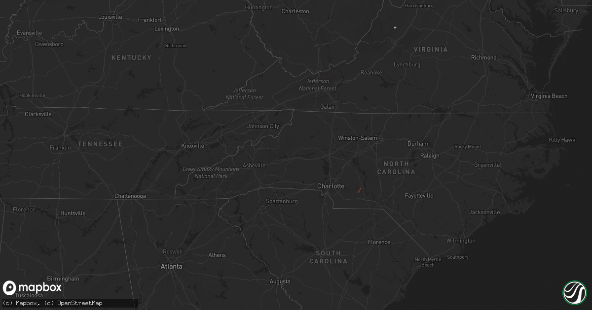
March 31 map
$229
one time, instant access
Download today. No call, no setup
Keep the $229
Bought the map and want the full workflow? Apply the entire $229 to a subscription within 7 days. None of it is wasted.
Every map, not just this one
This buys you this map. Subscription and you get every map we run, in the markets you choose from a few cities to whole states to nationwide. Plus real-time alerts the moment a storm fires.
Contact data
Name, contact info, occupancy, even credit band for addresses in the footprint. You go from where it hit to who to call.
Become the source they trust
Unlimited branding weather history reports on demand. You already have the documented answer ready for the property owner, and you are the one who showed up with it.
Property data and RoofTrace estimates
Pull up any address you have got, its value and the exact code rules for that jurisdiction, straight from One Click Code. Then RoofTrace estimates the squares, pitch, and roof value, priced the way you price.
Storm reports in Florida
Florida
| Date | Description |
|---|---|
| 03/31/20229:00 AM CDT | 2 trees down on coastal hwy. |
| 03/31/20229:00 AM CDT | Tree down on gossett ln. |
| 03/31/20229:00 AM CDT | Tree down on provo pl. |
| 03/31/20229:00 AM CDT | Tree down on dr. Martin luther king jr rd. |
| 03/31/20228:47 AM CDT | Power lines and trees down at sunflower road and elgin road. |
| 03/31/20228:40 AM CDT | Tree down in roadway on i-10 e at thomasville rd. |
| 03/31/20228:18 AM CDT | Tree down approx 14 inches diameter whitehouse rd/mamie ln. |
| 03/31/20227:23 AM CDT | At 1223 AM CDT, severe thunderstorms were located along a line extending from 11 miles west of Lowndes County Airport to near Pollard, moving east at 35 mph. HAZARD...60 mph wind gusts. SOURCE...Radar indicated. IMPACT...Expect damage to roofs, siding, and trees. Locations impacted include... Andalusia, Greenville, Brewton, Evergreen, Luverne, Flomaton, East Brewton, Georgiana, Brantley, McKenzie, River Falls, Castleberry, Red Level, Rutledge, Dozier, Heath, Gantt, Glenwood, Pollard and Riverview. |
| 03/31/20222:42 AM CDT | At 742 AM EDT/642 AM CDT/, severe thunderstorms were located along a line extending from Chattahoochee to 13 miles southwest of Port St. Joe, moving east at 20 mph. HAZARD...60 mph wind gusts. SOURCE...Radar indicated. IMPACT...Expect damage to roofs, siding, and trees. Locations impacted include... Eastpoint, Apalachicola, Quincy, Blountstown, Havana, Midway, Port St. Joe, St George Island, Mexico Beach, Stonemill Creek, Chattahoochee, Greensboro, Orange, Franklin, Wewahitchka, Gretna, Bristol, Rock Bluff, Honeyville and Jewel Fire Tower. |
| 03/31/20221:22 AM CDT | At 621 AM EDT/521 AM CDT/, severe thunderstorms were located along a line extending from near Donalsonville to 9 miles south of Panama City, moving east at 30 mph. HAZARD...60 mph wind gusts. SOURCE...Radar indicated. IMPACT...Expect damage to roofs, siding, and trees. Locations impacted include... Panama City, Lynn Haven, Callaway, Blountstown, Bainbridge, Donalsonville, Port St. Joe, Springfield, Mexico Beach, Hiland Park, Stonemill Creek, Chattahoochee, Greensboro, Tyndall Air Force Base, West Bainbridge, Orange, Parker, Wewahitchka, Sneads and Gretna. |
| 03/30/202210:29 PM CDT | At 329 AM CDT, severe thunderstorms were located along a line extending from 6 miles north of Midland City to near Slocomb, moving northeast at 60 mph. HAZARD...60 mph wind gusts. SOURCE...Radar indicated. IMPACT...Expect damage to roofs, siding, and trees. Locations impacted include... Abbeville, Cottonwood, Fort Gaines, Headland, Dothan, Ozark, Taylor, Midland City, Kinsey, Ashford, Slocomb, Cowarts, Newton, Webb, Columbia, Pinckard, Malvern, Rehobeth, Grimes and Avon. |
| 03/30/20229:13 PM CDT | At 212 AM CDT, severe thunderstorms were located along a line extending from 10 miles northwest of Eglin Air Force Base to near Valparaiso to 11 miles south of Navarre Beach, moving east at 40 mph. HAZARD...60 mph wind gusts and quarter size hail. SOURCE...Radar indicated. IMPACT...Hail damage to vehicles is expected. Expect wind damage to roofs, siding, and trees. Locations impacted include... Wright, Fort Walton Beach, Niceville, Destin, Eglin AFB, Valparaiso, Mary Esther, Ocean City, Lake Lorraine, Shalimar and Cinco Bayou. |
| 03/30/20228:29 PM CDT | At 128 AM CDT, severe thunderstorms were located along a line extending from near Highland Home to 14 miles north of Baker, moving east at 30 mph. HAZARD...60 mph wind gusts. SOURCE...Radar indicated. IMPACT...Expect damage to roofs, siding, and trees. Locations impacted include... Andalusia, Opp, Luverne, Florala, Brantley, River Falls, Lockhart, Rutledge, Dozier, Heath, Gantt, Glenwood, Petrey and Highland Home. |
| 03/30/20228:16 PM CDT | At 115 AM CDT, severe thunderstorms were located along a line extending from 17 miles southwest of River Falls to near Oriole Beach, moving northeast at 50 mph. HAZARD...70 mph wind gusts and penny size hail. SOURCE...Radar indicated. IMPACT...Expect considerable tree damage. Damage is likely to mobile homes, roofs, and outbuildings. Locations impacted include... Panama City Beach, Vernon, Santa Rosa Beach, De Funiak Springs, Bonifay, Eglin Air Force Base, Union, Liberty, Live Oak, Freeport, Paxton, Ponce De Leon, Caryville, Esto, Westville, Ebro, Noma, Oakwood Hills, Whitehead Crossroads and Cerrogordo. |
All States Impacted by Hail Map on March 31, 2022
Cities Impacted by Hail Map on March 31, 2022
- New Columbia, PA
- Circleville, WV
- Craigsville, VA
- Goshen, VA
- Bellefonte, PA
- Port Saint Joe, FL
- Wewahitchka, FL
- Eastpoint, FL
- Apalachicola, FL
- Norwood, NC
- Polkton, NC
- McLean, VA
- Evansville, IN
- Kittanning, PA
- Dayton, PA
- Lairdsville, PA
- Hughesville, PA
- Muncy, PA
- Westernport, MD
- Keyser, WV
- Rawlings, MD
- Westminster, MD
- Hampstead, MD
- New Windsor, MD
- New Bethlehem, PA
- Vandergrift, PA
- Freeport, PA
- Templeton, PA
- Leechburg, PA
- Brookville, PA
- Punxsutawney, PA
- Knox Dale, PA
- Ford City, PA
- Timblin, PA
- Mayport, PA
- Coolspring, PA
- Sprankle Mills, PA
- Ford Cliff, PA
- McGrann, PA
- Manorville, PA
- Reynoldsville, PA
- Worthville, PA
- Summerville, PA
- Ringgold, PA
- North Apollo, PA
- Spring Church, PA
- Apollo, PA
- Port Allegany, PA
- Shinglehouse, PA
- Lamar, PA
- Williamsport, PA
- Loganton, PA
- Mill Hall, PA
- Jersey Shore, PA
- Howard, PA
- Linden, PA
- Lock Haven, PA
- Montoursville, PA
- Dry Run, PA
- Shade Gap, PA
- Fort Littleton, PA
- Crystal Spring, PA
- Everett, PA
- Waterfall, PA
- Orbisonia, PA
- Doylesburg, PA
- Spring Run, PA
- Neelyton, PA
- Harrisonville, PA
- Three Springs, PA
- Orrstown, PA
- Hustontown, PA
- Wells Tannery, PA
- Willow Hill, PA
- Burnt Cabins, PA
- Fannettsburg, PA
- Breezewood, PA
- Lopez, PA
- Jermyn, PA
- Clarks Summit, PA
- Dushore, PA
- Olyphant, PA
- Falls, PA
- Mehoopany, PA
- Waverly, PA
- Unityville, PA
- Factoryville, PA
- Muncy Valley, PA
- Tunkhannock, PA
- Benton, PA
- Noxen, PA
- Harveys Lake, PA
- Carbondale, PA
- Dalton, PA
- Capon Bridge, WV
- Cross Junction, VA
- Gore, VA
- High View, WV
- Bloomery, WV
- Augusta, WV
- Douglas, GA
- Willacoochee, GA
- Alapaha, GA
- Ambrose, GA
- Broxton, GA
- West Green, GA


