Hail Map in Westminster, MD on February 7, 2020
Get this storm
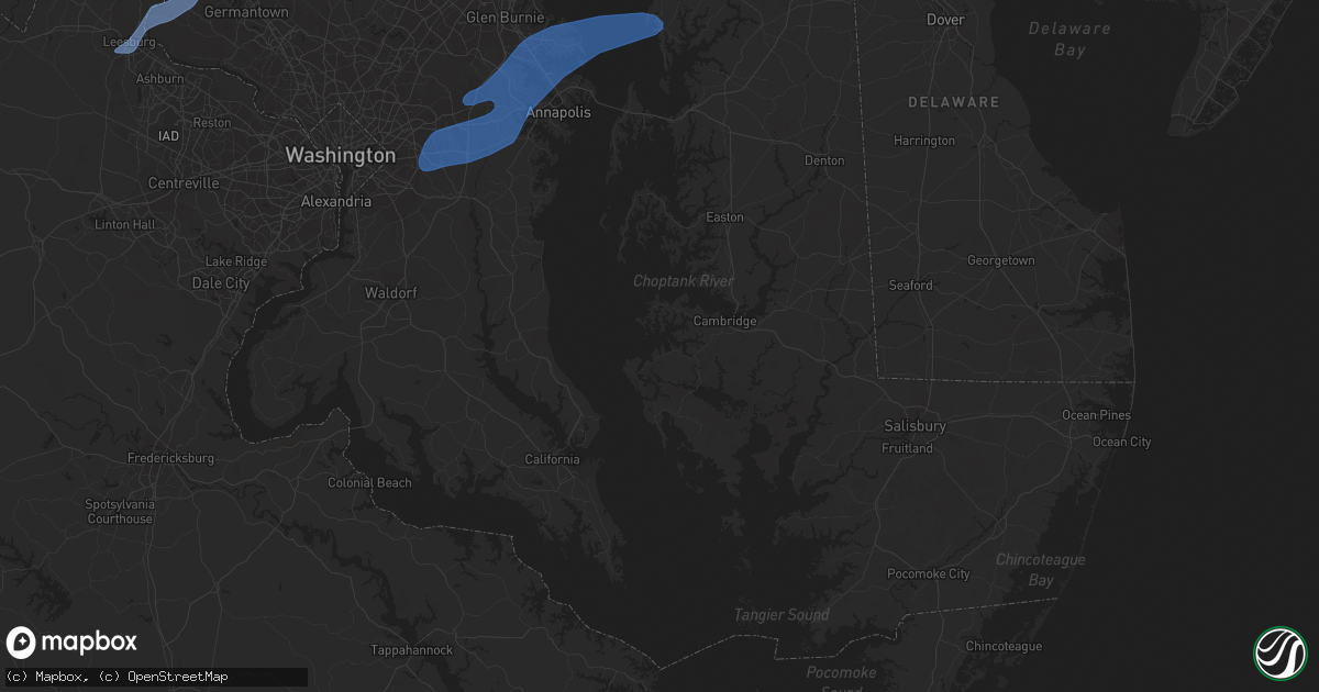
February 7 map
$229
one time, instant access
Download today. No call, no setup
Keep the $229
Bought the map and want the full workflow? Apply the entire $229 to a subscription within 7 days. None of it is wasted.
Every map, not just this one
This buys you this map. Subscription and you get every map we run, in the markets you choose from a few cities to whole states to nationwide. Plus real-time alerts the moment a storm fires.
Contact data
Name, contact info, occupancy, even credit band for addresses in the footprint. You go from where it hit to who to call.
Become the source they trust
Unlimited branding weather history reports on demand. You already have the documented answer ready for the property owner, and you are the one who showed up with it.
Property data and RoofTrace estimates
Pull up any address you have got, its value and the exact code rules for that jurisdiction, straight from One Click Code. Then RoofTrace estimates the squares, pitch, and roof value, priced the way you price.
Storm reports in Westminster, MD
Westminster, MD
| Date | Description |
|---|---|
| 02/07/20207:08 AM CST | Multiple trees down with some damage to structures |
| 02/07/20207:07 AM CST | Metal roof blown off of pnc bank near englar rd and rt 140 |
| 02/07/20207:04 AM CST | Roof blown from property on west main st |
| 02/07/20207:03 AM CST | Multiple downed and snapped trees at and near long valley road |
| 02/07/20207:03 AM CST | Intermittent tree damage... Roof and siding damage in central carroll county. Path length 10.3 miles. Maximum path width 100 yards. Estimated maximum wind speed 90 mph. |
All States Impacted by Hail Map on February 7, 2020
All Cities Impacted by Hail Map on February 7, 2020
- Easthampton, MA
- Southampton, MA
- Holyoke, MA
- Chicopee, MA
- South Hadley, MA
- Accord, NY
- Stone Ridge, NY
- Kingston, NY
- Hurley, NY
- West Hurley, NY
- Olivebridge, NY
- Leesburg, VA
- Glen Rock, PA
- Seven Valleys, PA
- Dallastown, PA
- Westminster, MD
- Red Lion, PA
- New Windsor, MD
- Monrovia, MD
- Mount Airy, MD
- Dickerson, MD
- Barnesville, MD
- Clarksburg, MD
- Manchester, MD
- Damascus, MD
- Hampstead, MD
- York, PA
- Beallsville, MD
- Ijamsville, MD
- Airville, PA
- Holtwood, PA
- Pequea, PA
- Rio Grande, NJ
- Avalon, NJ
- Bridgeville, DE
- Ocean View, NJ
- Lincoln, DE
- Cape May, NJ
- East New Market, MD
- Wildwood, NJ
- Greenwood, DE
- Lusby, MD
- Hollywood, MD
- Cambridge, MD
- Villas, NJ
- Leonardtown, MD
- Ellendale, DE
- Taylors Island, MD
- Hurlock, MD
- Sea Isle City, NJ
- Solomons, MD
- Church Creek, MD
- Milford, DE
- Madison, MD
- Federalsburg, MD
- California, MD
- Woolford, MD
- Dowell, MD
- Stone Harbor, NJ
- Cape May Court House, NJ
- Seaford, DE
- Dover, DE
- Camden Wyoming, DE
- Magnolia, DE
- Dover Afb, DE
- Severna Park, MD
- Millersville, MD
- Odenton, MD
- Arnold, MD
- Upper Marlboro, MD
- Bowie, MD
- Riva, MD
- Annapolis, MD
- Gibson Island, MD
- Davidsonville, MD
- Rock Hall, MD
- Gambrills, MD
- Pasadena, MD
- Crownsville, MD
- Harwood, MD
- Crofton, MD
- Aberdeen Proving Ground, MD
- North East, MD
- Newark, DE
- Bear, DE
- Elkton, MD
- Chesapeake City, MD
- Earleville, MD
- Ridley Park, PA
- Lansdowne, PA
- Prospect Park, PA
- Beverly, NJ
- Wilmington, DE
- Aston, PA
- Gibbstown, NJ
- Riverton, NJ
- Marcus Hook, PA
- Darby, PA
- Maple Shade, NJ
- Brookhaven, PA
- Merchantville, NJ
- Palmyra, NJ
- Camden, NJ
- Chester, PA
- Pedricktown, NJ
- Swedesboro, NJ
- Burlington, NJ
- Elk Mills, MD
- Folcroft, PA
- Pennsauken, NJ
- Glenolden, PA
- Willingboro, NJ
- Essington, PA
- Folsom, PA
- Norwood, PA
- Woodlyn, PA
- Riverside, NJ
- Sharon Hill, PA
- Claymont, DE
- Bridgeport, NJ
- Moorestown, NJ
- Philadelphia, PA
- Crum Lynne, PA
- Somers Point, NJ
- Atlantic City, NJ
- Margate City, NJ
- Brigantine, NJ
- Pleasantville, NJ
- Ventnor City, NJ
- Linwood, NJ
- Northfield, NJ
- Longport, NJ
- Absecon, NJ
- Bethel, DE
- Laurel, DE
- Fort Monroe, VA
- Hampton, VA
- Newport News, VA
- Ellicott City, MD
- Halethorpe, MD
- Columbia, MD
- Jessup, MD
- Catonsville, MD
- Baltimore, MD
- Laurel, MD
- Elkridge, MD
- Germantown, MD
- Boyds, MD
- Poolesville, MD
- Sterling, VA
- Ashburn, VA
- Gaithersburg, MD


