Hail Map in Florida on December 2, 2018
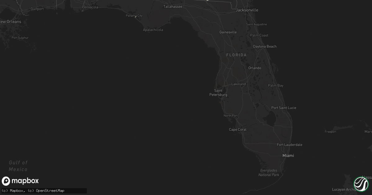
Get this storm
December 2 map
$229
one time, instant access
Download today. No call, no setup
Keep the $229
Bought the map and want the full workflow? Apply the entire $229 to a subscription within 7 days. None of it is wasted.
Every map, not just this one
This buys you this map. Subscription and you get every map we run, in the markets you choose from a few cities to whole states to nationwide. Plus real-time alerts the moment a storm fires.
Contact data
Name, contact info, occupancy, even credit band for addresses in the footprint. You go from where it hit to who to call.
Become the source they trust
Unlimited branding weather history reports on demand. You already have the documented answer ready for the property owner, and you are the one who showed up with it.
Property data and RoofTrace estimates
Pull up any address you have got, its value and the exact code rules for that jurisdiction, straight from One Click Code. Then RoofTrace estimates the squares, pitch, and roof value, priced the way you price.
Storm reports in Florida
Florida
| Date | Description |
|---|---|
| 12/02/20183:24 AM CST | At 924 AM EST, Doppler radar indicated a line of severe thunderstorms capable of producing damaging winds in excess of 60 mph. These storms were located along a line extending from 6 miles north of Bainbridge to near West Bainbridge to near Chattahoochee, and moving northeast at 35 mph. Locations impacted include... Bainbridge, West Bainbridge, Climax, Seminole State Park, Vada, Desser, Hanover, Ausmac, Reynoldsville, Recovery, Decatur Co A/P, Steinham Store, Harrells Still, Drakes Still, Cyrene, Peoples Still, Fairchild and Lake Seminole. |
| 12/02/20182:49 AM CST | At 849 AM EST/749 AM CST/, Doppler radar indicated a severe thunderstorm capable of producing damaging winds in excess of 60 mph. This storm was located near Marianna, and moving northeast at 55 mph. Locations impacted include... Donalsonville, Marianna, Greenwood, Iron City, Brinson, Bascom, Ausmac, Little Hope, Blue Spring, Decatur Co A/P, Lovedale, Dellwood, Riverturn, Sharphagen, Hornsville, Donaldsonville A/P, Buena Vista, Marianna Municipal A/P, Steam Mill and Desser. |
| 12/02/20181:32 AM CST | An ef-1 tornado with 100 mph winds touched down in northern madison county. Two mobile homes were impacted and a small outbuilding was swept off its foundation. In addi |
| 12/01/201810:26 PM CST | At 426 PM EST, a severe thunderstorm was located 7 miles north of Callahan, moving east at 50 mph. HAZARD...60 mph wind gusts and quarter size hail. SOURCE...Radar indicated. IMPACT...Hail damage to vehicles is expected. Expect wind damage to roofs, siding, and trees. Locations impacted include... St. Marys. |
| 12/01/20189:59 PM CST | At 358 PM EST, two severe thunderstorms were detected by radar. One was located 7 miles northwest of Kings Bay Base, and the other is 5 miles northeast of Hilliard. Both storms were moving northeast at 40 mph. Radar indicated rotation aloft within both storms. Tornadoes can occur rapidly with little advanced warning. HAZARD...60 mph wind gusts and nickel size hail. SOURCE...Radar indicated. IMPACT...Expect damage to roofs, siding, and trees. Locations impacted include... Kingsland, Kings Bay Base, Kings Ferry, Cumberland Island and Harrietts Bluff. |
| 12/01/20189:43 PM CST | At 343 AM CST, a severe thunderstorm was located 8 miles south of Geneva, moving northeast at 35 mph. HAZARD...60 mph wind gusts and quarter size hail. SOURCE...Radar indicated. IMPACT...Hail damage to vehicles is expected. Expect wind damage to roofs, siding, and trees. Locations impacted include... Graceville, Geneva, Hartford, Slocomb, Esto, Noma, Black, Kellys Crossroads, Tendil Crossing, Darlington, Arrant Settlement, Geneva Municipal A/P, Holland Crossroads, Hendrix Crossroad, Cobb Crossroads, Smith Crossroads, Izagora, New Hope, Noma Junction and Wicksburg. |
| 12/01/20189:20 PM CST | At 320 PM EST, a severe thunderstorm was located over Kingsland, moving east at 40 mph. This storm is showing rotation aloft. Tornadoes can develop rapidly with little advanced warning. HAZARD...60 mph wind gusts and quarter size hail. SOURCE...Radar indicated. IMPACT...Hail damage to vehicles is expected. Expect wind damage to roofs, siding, and trees. Locations impacted include... St. Marys, Kingsland, Kings Bay Base, Cumberland Island and Harrietts Bluff. |
| 12/01/20188:37 PM CST | At 236 PM EST, a severe thunderstorm was located over Hilliard, moving northeast at 40 mph. Radar indicated rotation with this storm. Tornadoes can occur rapidly with little advanced warning. HAZARD...60 mph wind gusts. SOURCE...Radar indicated. IMPACT...Expect damage to roofs, siding, and trees. Locations impacted include... Hilliard and Kings Ferry. |
All States Impacted by Hail Map on December 2, 2018
Cities Impacted by Hail Map on December 2, 2018
- McColl, SC
- Bennettsville, SC
- Gibson, NC
- Laurel Hill, NC
- Waycross, GA
- Kingsland, GA
- Hilliard, FL
- Sandersville, GA
- Tennille, GA
- Norman Park, GA
- Sumner, GA
- Omega, GA
- Moultrie, GA
- Hartsfield, GA
- Doerun, GA
- Sale City, GA
- Statenville, GA
- Jennings, FL
- Lake Park, GA
- Edisto Island, SC
- Folkston, GA
- Saint Marys, GA
- Woodbine, GA
- Lakeland, GA
- Ray City, GA
- Toomsboro, GA
- Kings Bay, GA
- Adel, GA
- Collins, GA
- Bainbridge, GA
- Warthen, GA
- Irwinton, GA
- Yulee, FL
- Tifton, GA
- Wallace, SC
- Callahan, FL
- Baconton, GA
- Panama City, FL
- Hahira, GA


