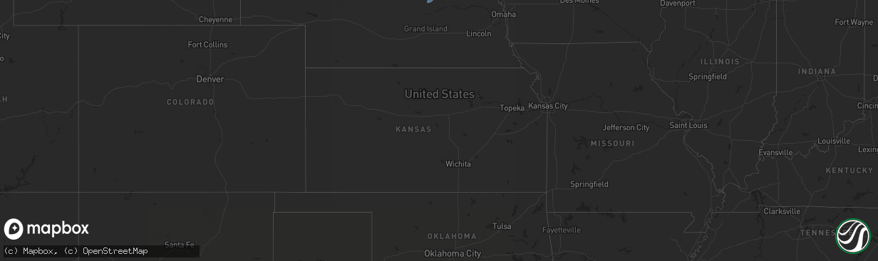
Hail Map in Kansas on October 23, 2022
The weather event in Kansas on October 23, 2022 includes Hail and Wind maps. 5 states and 112 cities were impacted and suffered possible damage. The total estimated number of properties impacted is 0.
Want more than just the map?
Turn this storm into a full workflow.
- Owner + property data so you know who to knock
- OnDemand branded weather history reports to win the "did we even have hail?" argument
- RoofTrace estimate so reps stop guessing numbers at the door
Bought this map? Upgrade within 7 days and we'll credit the $230. (10-15 min setup call)
Hail
Wind
0
Estimated number of impacted properties by a 1.00" hail or larger0
Estimated number of impacted properties by a 1.75" hail or larger0
Estimated number of impacted properties by a 2.50" hail or largerStorm reports in Kansas
Kansas
| Date | Description |
|---|---|
| 10/23/202212:19 AM CDT | At 519 PM CDT, a severe thunderstorm was located near Tipton, or 15 miles southwest of Beloit, moving northeast at 55 mph. HAZARD...60 mph wind gusts. SOURCE...Radar indicated. IMPACT...Expect damage to roofs, siding, and trees. Locations impacted include... Beloit, Mankato, Glen Elder, Jewell, Tipton, Formoso, Randall, Hunter, Webber, Scottsville, Victor, Lovewell State Park and Montrose. |
| 10/22/202211:42 PM CDT | A local report indicates 59 MPH wind near 3 E HUTCHINSON |
All States Impacted by Hail Map on October 23, 2022
Cities Impacted by Hail Map on October 23, 2022
- Brookings, SD
- Nunda, SD
- Madison, SD
- Rock Valley, IA
- Hull, IA
- Newman Grove, NE
- Meadow Grove, NE
- Pierce, NE
- Hoskins, NE
- Albion, NE
- Madison, NE
- Norfolk, NE
- Battle Creek, NE
- Ramona, SD
- Delphos, KS
- Volga, SD
- Arlington, SD
- Sinai, SD
- Canistota, SD
- Wentworth, SD
- Salem, SD
- Montrose, SD
- Rutland, SD
- Marietta, MN
- Canby, MN
- Iroquois, SD
- Artesian, SD
- White, SD
- Aurora, SD
- Colton, SD
- Sioux Center, IA
- Maskell, NE
- Ireton, IA
- Fairview, SD
- Hawarden, IA
- Centerville, SD
- George, IA
- Wynot, NE
- Larchwood, IA
- Hartington, NE
- Primrose, NE
- Luverne, MN
- Avoca, MN
- Walnut Grove, MN
- Reading, MN
- Alcester, SD
- Kanaranzi, MN
- Maurice, IA
- Wilmont, MN
- Belden, NE
- Vermillion, SD
- Tilden, NE
- Allen, NE
- Elk Point, SD
- Kenneth, MN
- Lamberton, MN
- Doon, IA
- Dixon, NE
- Canton, SD
- Storden, MN
- Worthington, MN
- Coleridge, NE
- Dovray, MN
- Hudson, SD
- Revere, MN
- Lismore, MN
- Burbank, SD
- Slayton, MN
- Beresford, SD
- Wanda, MN
- Iona, MN
- Petersburg, NE
- Orange City, IA
- Valley Springs, SD
- Boyden, IA
- Beaver Creek, MN
- Brewster, MN
- Winside, NE
- Wolbach, NE
- Laurel, NE
- Lennox, SD
- Alvord, IA
- Ponca, NE
- Wakonda, SD
- Sanborn, MN
- Steen, MN
- Westfield, IA
- Westbrook, MN
- Sioux Falls, SD
- Lester, IA
- Worthing, SD
- Rushmore, MN
- Cedar Rapids, NE
- Rock Rapids, IA
- Harrisburg, SD
- Randolph, NE
- Carroll, NE
- Gayville, SD
- Currie, MN
- Brandon, SD
- Little Rock, IA
- Magnolia, MN
- Tracy, MN
- Newcastle, NE
- Akron, IA
- Fulda, MN
- Adrian, MN
- Inwood, IA
- Chatsworth, IA
- Ellsworth, MN
- Hills, MN
- Volin, SD


