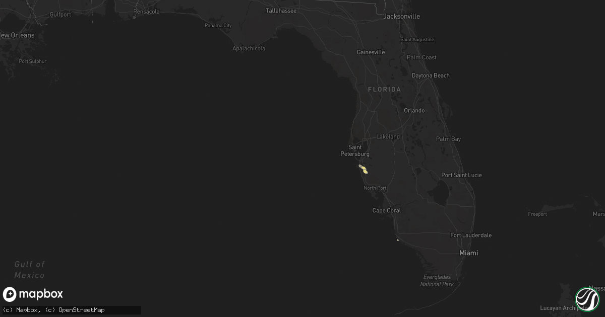
Hail Map in Florida on October 15, 2022
Get this storm
October 15 map
$229
one time, instant access
Download today. No call, no setup
Keep the $229
Bought the map and want the full workflow? Apply the entire $229 to a subscription within 7 days. None of it is wasted.
Every map, not just this one
This buys you this map. Subscription and you get every map we run, in the markets you choose from a few cities to whole states to nationwide. Plus real-time alerts the moment a storm fires.
Contact data
Name, contact info, occupancy, even credit band for addresses in the footprint. You go from where it hit to who to call.
Become the source they trust
Unlimited branding weather history reports on demand. You already have the documented answer ready for the property owner, and you are the one who showed up with it.
Property data and RoofTrace estimates
Pull up any address you have got, its value and the exact code rules for that jurisdiction, straight from One Click Code. Then RoofTrace estimates the squares, pitch, and roof value, priced the way you price.
Storm reports in Florida
Florida
| Date | Description |
|---|---|
| 10/15/20225:36 PM CDT | Social media video of hail just w of i-75 and s of sr-70. Several other social media videos showing hail around this time in the same area. Time from video stamp. |
| 10/15/20221:39 AM CDT | At 639 PM EDT, a severe thunderstorm was located over North Sarasota, or near Sarasota, moving south at 10 mph. HAZARD...60 mph wind gusts and quarter size hail. SOURCE...Radar indicated. IMPACT...Hail damage to vehicles is expected. Expect wind damage to roofs, siding, and trees. Locations impacted include... Sarasota, Bradenton, Lakewood Ranch, Vamo, Sarasota Springs, South Gate Ridge, Lake Sarasota, Saint Armands Key, Desoto Lakes and North Sarasota. |
All States Impacted by Hail Map on October 15, 2022
Cities Impacted by Hail Map on October 15, 2022
- Charlotte, AR
- Cord, AR
- Sulphur Rock, AR
- Batesville, AR
- Newark, AR
- Manila, AR
- Caraway, AR
- Hagarville, AR
- Lamar, AR
- Tyronza, AR
- Oakland, AR
- Yellville, AR
- Lakeview, AR
- Mountain Home, AR
- Bull Shoals, AR
- Midway, AR
- Wiseman, AR
- Horseshoe Bend, AR
- Center Ridge, AR
- Hartman, AR
- Leedey, OK
- Calumet, OK
- El Reno, OK
- Welling, OK
- Fort Gibson, OK
- Park Hill, OK
- Tahlequah, OK
- Leslie, AR
- Maricopa, AZ
- Leachville, AR
- Cabot, AR
- Memphis, TN
- Butler, OK
- Fort Smith, AR
- Claude, TX
- Jessieville, AR
- Redfield, AR
- Danville, AR
- Ola, AR
- Rover, AR
- Plainview, AR
- Calico Rock, AR
- Norfork, AR
- Hernando, MS
- San Tan Valley, AZ
- Stilwell, OK
- Mansfield, AR
- Wilson, OK
- Ozark, AR
- Bunch, OK
- Cookson, OK
- Hoxie, AR
- Lynn, AR
- Alicia, AR
- Swifton, AR
- Arnett, OK
- Vici, OK
- Turrell, AR
- Henderson, AR
- Weatherford, OK
- Geary, OK
- Cash, AR
- Custer City, OK
- Thomas, OK
- Arapaho, OK
- Clinton, OK
- Arlington, AZ
- Tonopah, AZ
- Buckeye, AZ
- Winkelman, AZ
- Vian, OK
- Sallisaw, OK
- Sheridan, AR
- Hensley, AR
- Jonesboro, AR
- Sherrill, AR
- Pottsboro, TX
- Sayre, OK
- Piedmont, OK
- North Little Rock, AR
- Little Rock, AR
- Gans, OK
- Muldrow, OK
- Lawton, OK
- Pettigrew, AR
- Briscoe, TX
- Sweetwater, OK
- Wheeler, TX
- Carter, OK
- Phoenix, AZ
- Ozone, AR
- Deer, AR
- Oark, AR
- Taloga, OK
- Greenfield, OK
- Watonga, OK
- Van Buren, AR
- Oxford, AR
- Salem, AR
- Hydro, OK
- Forrest City, AR
- Wynne, AR
- Cedarville, AR
- Altus, AR
- Harriet, AR
- Mount Judea, AR
- Rudy, AR
- Alma, AR
- Dyer, AR
- Charleston, AR
- Pelsor, AR
- Marshall, AR
- Uniontown, AR
- Dover, AR
- Witts Springs, AR
- Lavaca, AR
- Mulberry, AR
- Saint Joe, AR
- Mountainburg, AR
- Cecil, AR
- Clarksville, AR
- Chester, AR
- Ponca, AR
- Bradenton, FL
- Sarasota, FL
- Winslow, AR
- Bluffton, AR
- Reydon, OK
- West Fork, AR
- Elizabeth, AR
- England, AR
- Bryant, AR
- Mabelvale, AR
- Scott, AR
- Benton, AR
- Hot Springs Village, AR
- Paron, AR
- Lonsdale, AR
- Alexander, AR
- Perryville, AR
- Waldron, AR
- Mesa, AZ
- Eloy, AZ
- Picacho, AZ
- Vilonia, AR
- Enola, AR
- Greenbrier, AR
- Crawford, OK
- Cheyenne, OK
- Pindall, AR
- Everton, AR
- Elk City, OK
- Dardanelle, AR
- Casa, AR
- Belleville, AR
- Ardmore, OK
- Canehill, AR
- Natural Dam, AR
- Prairie Grove, AR
- Edmond, OK
- Gilbert, AZ
- Chandler, AZ
- Imperial, CA
- Germantown, TN
- Collierville, TN
- Hulbert, OK
- Wideman, AR
- Viola, AR
- Bexar, AR
- Corn, OK
- Myrtle, MO
- Hardy, AR
- Sturkie, AR
- Camp, AR
- Ravenden, AR
- Pocahontas, AR
- Mammoth Spring, AR
- Warner, OK
- Porum, OK
- Webbers Falls, OK
- Gore, OK
- Council Hill, OK
- Checotah, OK
- Braggs, OK
- Oktaha, OK
- Muskogee, OK
- Boynton, OK
- Valley Springs, AR
- Hammon, OK
- Fountain Hills, AZ
- Scottsdale, AZ
- Joiner, AR
- Dyess, AR
- Cordell, OK
- Russellville, AR
- Malvern, AR
- Carlisle, AR
- Henning, TN
- Winterhaven, CA
- Yuma, AZ
- Hackett, AR
- Cameron, OK
- Concord, AR
- Gatewood, MO
- Couch, MO
- Mountain View, OK
- Damascus, AR
- Bee Branch, AR
- Ravenden Springs, AR
- Doniphan, MO
- Glencoe, AR
- Thayer, MO
- Hartford, AR
- Winfield, KS
- Rock, KS
- Letona, AR
- Augusta, AR
- Lepanto, AR
- Pleasant Plains, AR
- Heber Springs, AR
- Osceola, AR
- Weiner, AR
- Bradford, AR
- Harrisburg, AR
- Keiser, AR
- Searcy, AR
- Fisher, AR
- Etowah, AR
- Floral, AR
- Beedeville, AR
- Cherry Valley, AR
- Judsonia, AR
- Hickory Ridge, AR
- Pangburn, AR
- Bald Knob, AR
- Oil Trough, AR
- Rose Bud, AR
- McCrory, AR
- Newport, AR
- Trumann, AR
- Marked Tree, AR
- Amagon, AR
- Wellton, AZ
- Lelia Lake, TX
- Springfield, AR
- Plumerville, AR
- Booneville, AR
- Ward, AR
- Lonoke, AR
- Brawley, CA
- Decatur, TX
- Minco, OK
- Springer, OK
- Davis, OK
- Dougherty, OK
- Sulphur, OK
- Dill City, OK
- Sentinel, OK
- Gotebo, OK
- Hobart, OK
- Canute, OK
- Lone Wolf, OK
- Des Arc, AR
- Quitman, AR
- Binger, OK
- Austin, AR
- Greenwood, AR
- Bigelow, AR
- Roland, AR
- Naples, FL
- Hickory Plains, AR
- Coolidge, AZ
- Little Rock Air Force Base, AR
- Jacksonville, AR
- Barling, AR
- Paradise Valley, AZ
- Roosevelt, OK
- Arkoma, OK
- Spiro, OK
- Pocola, OK
- Midland, AR
- Huntington, AR
- Atoka, OK
- Calexico, CA
- Solgohachia, AR
- Morrilton, AR
- Heber, CA
- El Centro, CA
- Hedley, TX
- Olive Branch, MS
- Hughes, AR
- Tecumseh, OK
- Ringling, OK
- Rocky, OK
- Florence, AZ
- Foss, OK
- Atkins, AR
- Widener, AR
- Gracemont, OK
- Carnegie, OK
- Lookeba, OK
- Fort Cobb, OK
- Heth, AR
- Farmersville, TX
- Greenville, TX
- Celeste, TX
- Guy, AR
- Clarendon, TX
- Sherwood, AR
- Conway, AR
- Cibola, AZ
- Griffithville, AR
- Peel, AR
- Queen Creek, AZ
- Casa Grande, AZ
- Rio Verde, AZ
- Fort Mcdowell, AZ
- Camargo, OK
- Bethany, OK
- Oklahoma City, OK
- Yukon, OK
- Jones, OK
- Lexington, OK
- Newalla, OK
- Konawa, OK
- Norman, OK
- Asher, OK
- Wanette, OK
- Macomb, OK
- Noble, OK
- Mcloud, OK
- Maud, OK
- Choctaw, OK
- Tucson, AZ
- Alvord, TX
- Chico, TX


