Hail Map in Virginia on October 13, 2011
Get this storm
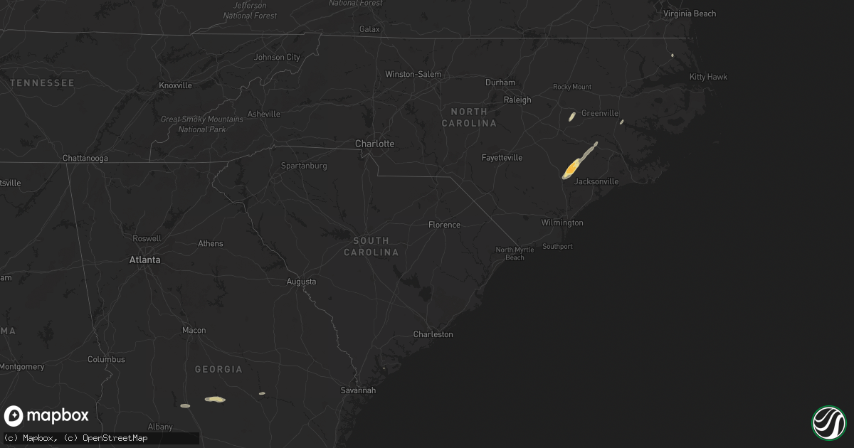
October 13 map
$229
one time, instant access
Download today. No call, no setup
Keep the $229
Bought the map and want the full workflow? Apply the entire $229 to a subscription within 7 days. None of it is wasted.
Every map, not just this one
This buys you this map. Subscription and you get every map we run, in the markets you choose from a few cities to whole states to nationwide. Plus real-time alerts the moment a storm fires.
Contact data
Name, contact info, occupancy, even credit band for addresses in the footprint. You go from where it hit to who to call.
Become the source they trust
Unlimited branding weather history reports on demand. You already have the documented answer ready for the property owner, and you are the one who showed up with it.
Property data and RoofTrace estimates
Pull up any address you have got, its value and the exact code rules for that jurisdiction, straight from One Click Code. Then RoofTrace estimates the squares, pitch, and roof value, priced the way you price.
Storm reports in Virginia
Virginia
| Date | Description |
|---|---|
| 10/13/20115:02 PM CDT | Damage primarily to trees along wickens road |
| 10/13/20115:00 PM CDT | At least 4 large trees down and partially blocking roadway of hunter mill road to the north of intersection of hunter mill road and vale road. |
| 10/13/20114:40 PM CDT | A path of sporadic damage was discovered from the colchester area to near forest hills. |
| 10/13/20114:30 PM CDT | Damage to a building and trees down. |
| 10/13/20114:30 PM CDT | Tornado confirmed by video crossing interstate 95s just north of the entrance to quantico. Location estimated based on video and radar. |
| 10/13/20114:29 PM CDT | Tornado confirmed by video crossing interstate 95s. Survey conducted today revealed damage exclusively to trees along a path from interstate 95 just north of the entran |
| 10/13/20114:28 PM CDT | Powerlines down near 3625 jefferson davis highway in stafford... Virginia. |
| 10/13/20114:25 PM CDT | Tree and structural damage reported |
| 10/13/20114:22 PM CDT | A survey revealed damage to roofing...home siding...a fence...many trees and road signs along a path in northern stafford and far southern prince william counties. |
| 10/13/20114:12 PM CDT | Trees down. |
| 10/13/20114:05 PM CDT | Numerous trees down on old river road near tallysville road. |
| 10/13/20114:03 PM CDT | Dozens of trees twisted and broken. Porch was blown off onto house roof. Shingles missing. Barn and shed flattened. Part of barn wrapped around tree. All damage occurre |
| 10/13/20114:03 PM CDT | Large barn flattened. Another barn with roof damage. Porch blown off a house. Several trees snapped or uprooted. |
| 10/13/20114:00 PM CDT | Significant damage to a home and barn on midland road. 7 people displaced. |
| 10/13/20113:55 PM CDT | Damage was reported to gw watkins elementary. The extent of damage was uknown. |
| 10/13/20113:50 PM CDT | Rated as ef1 in woodhaven shores 200 yards wide and estimated 95 mph winds |
| 10/13/20113:50 PM CDT | A gazebo was destroyed and numerous fruit trees uprooted at 7100 lake shore dr. |
| 10/13/20113:50 PM CDT | Trees down from a tornado as it crossed i-64 just east of exit 205. |
| 10/13/20113:50 PM CDT | Roof damage to a home on soldiers rest circle. Most of the shingles were removed from the home. |
| 10/13/20113:05 PM CDT | A narrow path of tree damage was discovered from near state route 628 to near state route 627. |
| 10/13/20112:40 PM CDT | Trees down and roof damage reported. |
| 10/13/20112:30 PM CDT | Roof damage to house |
All States Impacted by Hail Map on October 13, 2011
Cities Impacted by Hail Map on October 13, 2011
- Uvalda, GA
- Weston, WV
- Camden, WV
- New Kent, VA
- Mechanicsville, VA
- King William, VA
- Quinton, VA
- Fredericksburg, VA
- Woodford, VA
- Spotsylvania, VA
- Pink Hill, NC
- Beulaville, NC
- Rose Hill, NC
- Stantonsburg, NC
- Kinston, NC
- Trenton, NC
- Catlett, VA
- Chantilly, VA
- Centreville, VA
- Manassas, VA
- Quantico, VA
- Nokesville, VA
- Clifton, VA
- Bristow, VA
- Macon, GA
- Fairfax, VA
- Herndon, VA
- Reston, VA
- Oakton, VA
- Walstonburg, NC
- Snow Hill, NC
- Daytona Beach, FL
- Arabi, GA
- Cordele, GA
- Rhine, GA
- Rochelle, GA
- Abbeville, GA
- Ruther Glen, VA
- Chocowinity, NC
- Blounts Creek, NC
- Washington, NC
- Bumpass, VA
- Montpelier, VA
- Musella, GA
- Sandston, VA
- Dover, NC
- Ashburn, GA
- Beaufort, SC
- Lost Creek, WV
- Salem, WV
- Elizabeth City, NC
- Teachey, NC
- Chinquapin, NC
- Wallace, NC
- Claxton, GA
- Beaverdam, VA
- Cedarville, WV
- Glenville, WV
- Normantown, WV
- Partlow, VA
- King George, VA


