Hail Map in Georgia on October 13, 2011
Get this storm
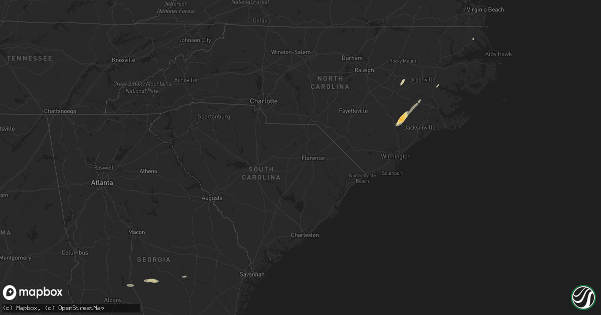
October 13 map
$229
one time, instant access
Download today. No call, no setup
Keep the $229
Bought the map and want the full workflow? Apply the entire $229 to a subscription within 7 days. None of it is wasted.
Every map, not just this one
This buys you this map. Subscription and you get every map we run, in the markets you choose from a few cities to whole states to nationwide. Plus real-time alerts the moment a storm fires.
Contact data
Name, contact info, occupancy, even credit band for addresses in the footprint. You go from where it hit to who to call.
Become the source they trust
Unlimited branding weather history reports on demand. You already have the documented answer ready for the property owner, and you are the one who showed up with it.
Property data and RoofTrace estimates
Pull up any address you have got, its value and the exact code rules for that jurisdiction, straight from One Click Code. Then RoofTrace estimates the squares, pitch, and roof value, priced the way you price.
Storm reports in Georgia
Georgia
| Date | Description |
|---|---|
| 10/13/20116:39 PM CDT | *** 1 inj *** law enforcement reported 5 trees down in sylvania georgia. One adult female was injured and taken to a hospital after colliding with a tree down on states |
| 10/13/20116:37 PM CDT | Law enforcement reported one tree down along red bluff road. |
| 10/13/20116:30 PM CDT | A large pine tree fell across leah road. |
| 10/13/20116:06 PM CDT | Law enforcement reported 1 tree down in metter georgia. |
| 10/13/20115:40 PM CDT | Hail up to the size of quarters reported at the dollar general in uvalda. |
| 10/13/20115:07 PM CDT | A local report indicates 60 MPH wind near 1 WNW MCRAE |
| 10/13/20115:07 PM CDT | A local report indicates 1.00 inch wind near 1 WNW MCRAE |
| 10/13/20114:36 PM CDT | Trees down on powerline near oakley pirkle rd reported by wrdw. |
| 10/13/20114:30 PM CDT | Trees down in augusta reported by ham radio operator. |
| 10/13/20114:30 PM CDT | Trees down and power out along i-20 near martinez. |
| 10/13/20114:25 PM CDT | Emergency manager reports 7 to 8 trees down in rochelle with a couple causing minor damage to homes. |
| 10/13/20114:21 PM CDT | Many limbs trees and powerlines down county wide. Dearing area hardest hit. |
| 10/13/20114:08 PM CDT | Public reported quarter sized hail at the plantation house near arabi. |
| 10/13/20114:06 PM CDT | Crisp county ema relayed numerous reports of downed trees in southern portions of the county. |
| 10/13/20114:06 PM CDT | Crisp county ema relayed a report of a downed tree near the intersection of antioch and range station roads. |
| 10/13/20113:55 PM CDT | 10-15 large trees reported downed countywide including one that fell onto a power line. |
| 10/13/20112:33 PM CDT | Wgxa-tv relayed a public report of a downed tree on culver street in macon. |
| 10/13/20111:07 PM CDT | Harris county 911 relayed a report of a downed tree on alabama road. |
| 10/13/20111:01 PM CDT | Harris county 911 relayed reports of 6-10 downed trees along the areas of hwy 219 and hwy 103. |
| 10/13/201112:54 PM CDT | Muscogee county 911 relayed report of a downed tree in the gateway road area of columbus. |
| 10/13/201112:46 PM CDT | Harris county 911 relayed reports of several downed trees and power lines in southern harris county. Several roads and 2 homes had trees downed onto them. |
| 10/12/20117:35 PM CDT | One large tree limb down on a powerline on sand dollar drive |
| 10/12/20117:21 PM CDT | One large tree limb down near the intersection of s main street and deen street |
All States Impacted by Hail Map on October 13, 2011
Cities Impacted by Hail Map on October 13, 2011
- Uvalda, GA
- Weston, WV
- Camden, WV
- New Kent, VA
- Mechanicsville, VA
- King William, VA
- Quinton, VA
- Fredericksburg, VA
- Woodford, VA
- Spotsylvania, VA
- Pink Hill, NC
- Beulaville, NC
- Rose Hill, NC
- Stantonsburg, NC
- Kinston, NC
- Trenton, NC
- Catlett, VA
- Chantilly, VA
- Centreville, VA
- Manassas, VA
- Quantico, VA
- Nokesville, VA
- Clifton, VA
- Bristow, VA
- Macon, GA
- Fairfax, VA
- Herndon, VA
- Reston, VA
- Oakton, VA
- Walstonburg, NC
- Snow Hill, NC
- Daytona Beach, FL
- Arabi, GA
- Cordele, GA
- Rhine, GA
- Rochelle, GA
- Abbeville, GA
- Ruther Glen, VA
- Chocowinity, NC
- Blounts Creek, NC
- Washington, NC
- Bumpass, VA
- Montpelier, VA
- Musella, GA
- Sandston, VA
- Dover, NC
- Ashburn, GA
- Beaufort, SC
- Lost Creek, WV
- Salem, WV
- Elizabeth City, NC
- Teachey, NC
- Chinquapin, NC
- Wallace, NC
- Claxton, GA
- Beaverdam, VA
- Cedarville, WV
- Glenville, WV
- Normantown, WV
- Partlow, VA
- King George, VA


