Hail Map in Quinton, VA on October 13, 2011
Get this storm
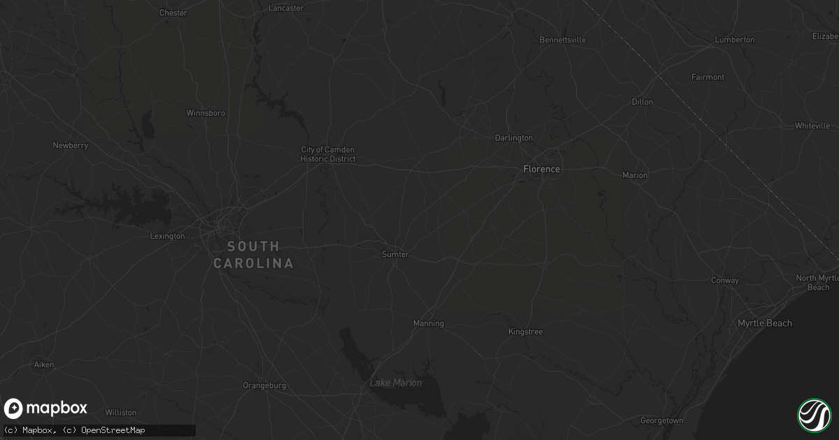
October 13 map
$229
one time, instant access
Download today. No call, no setup
Keep the $229
Bought the map and want the full workflow? Apply the entire $229 to a subscription within 7 days. None of it is wasted.
Every map, not just this one
This buys you this map. Subscription and you get every map we run, in the markets you choose from a few cities to whole states to nationwide. Plus real-time alerts the moment a storm fires.
Contact data
Name, contact info, occupancy, even credit band for addresses in the footprint. You go from where it hit to who to call.
Become the source they trust
Unlimited branding weather history reports on demand. You already have the documented answer ready for the property owner, and you are the one who showed up with it.
Property data and RoofTrace estimates
Pull up any address you have got, its value and the exact code rules for that jurisdiction, straight from One Click Code. Then RoofTrace estimates the squares, pitch, and roof value, priced the way you price.
Storm reports in Quinton, VA
Quinton, VA
| Date | Description |
|---|---|
| 10/13/20113:55 PM CDT | Damage was reported to gw watkins elementary. The extent of damage was uknown. |
| 10/13/20113:50 PM CDT | A gazebo was destroyed and numerous fruit trees uprooted at 7100 lake shore dr. |
| 10/13/20113:50 PM CDT | Trees down from a tornado as it crossed i-64 just east of exit 205. |
| 10/13/20113:50 PM CDT | Rated as ef1 in woodhaven shores 200 yards wide and estimated 95 mph winds |
All States Impacted by Hail Map on October 13, 2011
All Cities Impacted by Hail Map on October 13, 2011
- Uvalda, GA
- Weston, WV
- Camden, WV
- New Kent, VA
- Mechanicsville, VA
- King William, VA
- Quinton, VA
- Fredericksburg, VA
- Woodford, VA
- Spotsylvania, VA
- Pink Hill, NC
- Beulaville, NC
- Rose Hill, NC
- Stantonsburg, NC
- Kinston, NC
- Trenton, NC
- Catlett, VA
- Chantilly, VA
- Centreville, VA
- Manassas, VA
- Quantico, VA
- Nokesville, VA
- Clifton, VA
- Bristow, VA
- Macon, GA
- Fairfax, VA
- Herndon, VA
- Reston, VA
- Oakton, VA
- Walstonburg, NC
- Snow Hill, NC
- Daytona Beach, FL
- Arabi, GA
- Cordele, GA
- Rhine, GA
- Rochelle, GA
- Abbeville, GA
- Ruther Glen, VA
- Chocowinity, NC
- Blounts Creek, NC
- Washington, NC
- Bumpass, VA
- Montpelier, VA
- Musella, GA
- Sandston, VA
- Dover, NC
- Ashburn, GA
- Beaufort, SC
- Lost Creek, WV
- Salem, WV
- Elizabeth City, NC
- Teachey, NC
- Chinquapin, NC
- Wallace, NC
- Claxton, GA
- Beaverdam, VA
- Cedarville, WV
- Glenville, WV
- Normantown, WV
- Partlow, VA
- King George, VA


