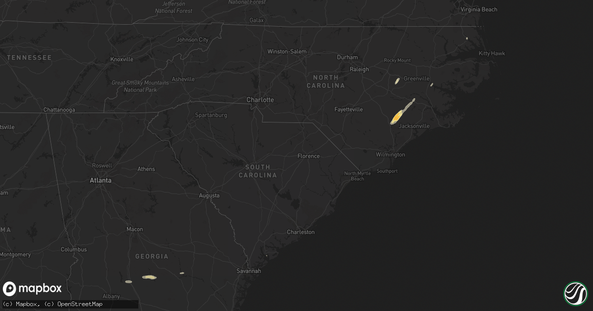
Hail Map in South Carolina on October 13, 2011
Get this storm
October 13 map
$229
one time, instant access
Download today. No call, no setup
Keep the $229
Bought the map and want the full workflow? Apply the entire $229 to a subscription within 7 days. None of it is wasted.
Every map, not just this one
This buys you this map. Subscription and you get every map we run, in the markets you choose from a few cities to whole states to nationwide. Plus real-time alerts the moment a storm fires.
Contact data
Name, contact info, occupancy, even credit band for addresses in the footprint. You go from where it hit to who to call.
Become the source they trust
Unlimited branding weather history reports on demand. You already have the documented answer ready for the property owner, and you are the one who showed up with it.
Property data and RoofTrace estimates
Pull up any address you have got, its value and the exact code rules for that jurisdiction, straight from One Click Code. Then RoofTrace estimates the squares, pitch, and roof value, priced the way you price.
Storm reports in South Carolina
South Carolina
| Date | Description |
|---|---|
| 10/13/20116:32 PM CDT | Trees down near hardscrabble rd at sandhills church |
| 10/13/20116:26 PM CDT | Trees down near two notch and daulton rd |
| 10/13/20116:18 PM CDT | Trees down on i-20 near mile marker 68 |
| 10/13/20116:18 PM CDT | Trees down on monticello rd near eau claire high school |
| 10/13/20116:12 PM CDT | Public reported tree down on a power line at old brickyard road and old tamah road. |
| 10/13/20116:03 PM CDT | Highway patrol reported trees down along corley mill road just off hwy 378. |
| 10/13/20115:54 PM CDT | Trees down near lake murray on mt willing rd. |
| 10/13/20115:25 PM CDT | Trees down on rocky creek road |
| 10/13/20115:22 PM CDT | Trees down in ridge spring area. |
| 10/13/20115:17 PM CDT | Tree across road near old chappells ferry rd and annas ln |
| 10/13/20115:12 PM CDT | Trees down near pickens st |
| 10/13/20115:04 PM CDT | Sheriff dispatch reported trees down between vaucluse and aiken. |
| 10/13/20114:59 PM CDT | Tree uprooted on powerline on shortcut rd near fox creek high school. |
| 10/13/20114:56 PM CDT | Sheriff dispatch reported trees down in the warrenville and bath areas. |
| 10/13/20114:54 PM CDT | Trees down on powerlines. |
| 10/13/20114:54 PM CDT | Trees down near atomic road and toole cir. |
| 10/13/20114:54 PM CDT | Trees down near martintown rd and woodlawn. |
| 10/13/20114:50 PM CDT | Trees down on us 25 reported by ham operator |
| 10/13/20114:45 PM CDT | Trees down on hwy 28 near clarks hill |
| 10/12/20118:45 PM CDT | One tree down on a car on hw-6 near the intersection with jehovah lane. |
| 10/12/20118:17 PM CDT | Sc highway patrol reports one tree down and in the roadway on i-26 eastbound near 2nd bend road. |
| 10/12/20118:15 PM CDT | Trees and power lines down on gandy siding road near intersection with running brook road |
| 10/12/20117:52 PM CDT | Sc highway patrol reports a tree down and in the roadway at the intersection of maple ridge road and weans road. |
| 10/12/20117:50 PM CDT | Law enforcement reported one tree down near pleasant grove church on jefferies highway. |
| 10/12/20117:49 PM CDT | The public reported 1 tree down with partial damage to a front porch of a home. |
| 10/12/20117:44 PM CDT | Law enforcement reported 1 tree down along ruffin road. |
| 10/12/20117:42 PM CDT | Law enforcement reported 1 tree down along mt carmel road. |
| 10/12/20117:33 PM CDT | Law enforcement reported 1 tree down near the intersection of sniders highway and low country highway. |
| 10/12/20117:30 PM CDT | Black river electric co-op reported trees on powerlines in the stokes area. |
| 10/12/20117:12 PM CDT | Law enforcement reported 1 tree down near the intersection of highway 119 and black swamp road. |
| 10/12/20117:11 PM CDT | Law enforcement reported 1 tree down near the intersection of lento road and 2 sisters ferry. |
| 10/12/20117:05 PM CDT | Black river electric co-op reported trees on powerlines in the alston road area. |
| 10/12/20117:03 PM CDT | Law enforcement reported 1 tree down on highway 3 in estill georgia. |
| 10/12/20117:00 PM CDT | Black river electric co-op reported trees on powerlines in the camden area. |
All States Impacted by Hail Map on October 13, 2011
Cities Impacted by Hail Map on October 13, 2011
- Uvalda, GA
- Weston, WV
- Camden, WV
- New Kent, VA
- Mechanicsville, VA
- King William, VA
- Quinton, VA
- Fredericksburg, VA
- Woodford, VA
- Spotsylvania, VA
- Pink Hill, NC
- Beulaville, NC
- Rose Hill, NC
- Stantonsburg, NC
- Kinston, NC
- Trenton, NC
- Catlett, VA
- Chantilly, VA
- Centreville, VA
- Manassas, VA
- Quantico, VA
- Nokesville, VA
- Clifton, VA
- Bristow, VA
- Macon, GA
- Fairfax, VA
- Herndon, VA
- Reston, VA
- Oakton, VA
- Walstonburg, NC
- Snow Hill, NC
- Daytona Beach, FL
- Arabi, GA
- Cordele, GA
- Rhine, GA
- Rochelle, GA
- Abbeville, GA
- Ruther Glen, VA
- Chocowinity, NC
- Blounts Creek, NC
- Washington, NC
- Bumpass, VA
- Montpelier, VA
- Musella, GA
- Sandston, VA
- Dover, NC
- Ashburn, GA
- Beaufort, SC
- Lost Creek, WV
- Salem, WV
- Elizabeth City, NC
- Teachey, NC
- Chinquapin, NC
- Wallace, NC
- Claxton, GA
- Beaverdam, VA
- Cedarville, WV
- Glenville, WV
- Normantown, WV
- Partlow, VA
- King George, VA


