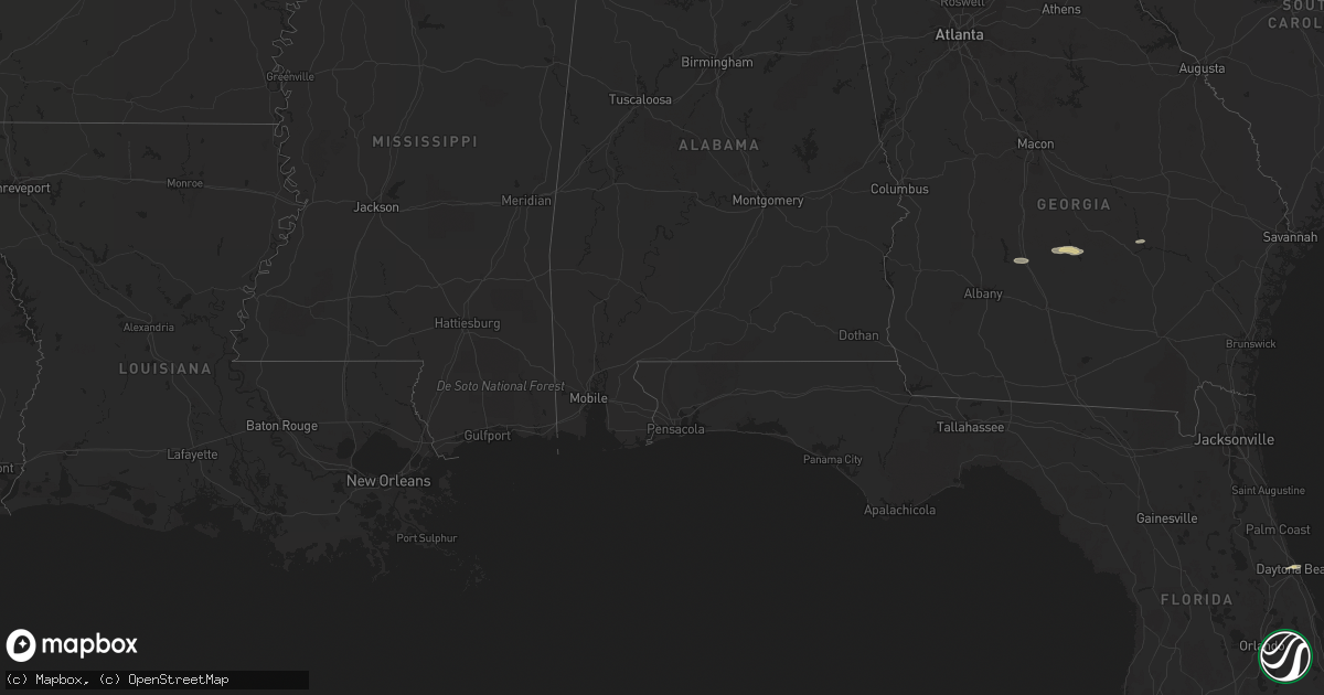
Hail Map on October 13, 2011
Get this storm
October 13 map
$229
one time, instant access
Download today. No call, no setup
Keep the $229
Bought the map and want the full workflow? Apply the entire $229 to a subscription within 7 days. None of it is wasted.
Every map, not just this one
This buys you this map. Subscription and you get every map we run, in the markets you choose from a few cities to whole states to nationwide. Plus real-time alerts the moment a storm fires.
Contact data
Name, contact info, occupancy, even credit band for addresses in the footprint. You go from where it hit to who to call.
Become the source they trust
Unlimited branding weather history reports on demand. You already have the documented answer ready for the property owner, and you are the one who showed up with it.
Property data and RoofTrace estimates
Pull up any address you have got, its value and the exact code rules for that jurisdiction, straight from One Click Code. Then RoofTrace estimates the squares, pitch, and roof value, priced the way you price.
States Impacted by Hail Map on October 13, 2011
Storm reports
Georgia
| Date | Description |
|---|---|
| 10/13/20116:39 PM CDT | *** 1 inj *** law enforcement reported 5 trees down in sylvania georgia. One adult female was injured and taken to a hospital after colliding with a tree down on states |
| 10/13/20116:37 PM CDT | Law enforcement reported one tree down along red bluff road. |
| 10/13/20116:30 PM CDT | A large pine tree fell across leah road. |
| 10/13/20116:06 PM CDT | Law enforcement reported 1 tree down in metter georgia. |
| 10/13/20115:40 PM CDT | Hail up to the size of quarters reported at the dollar general in uvalda. |
| 10/13/20115:07 PM CDT | A local report indicates 1.00 inch wind near 1 WNW MCRAE |
| 10/13/20115:07 PM CDT | A local report indicates 60 MPH wind near 1 WNW MCRAE |
| 10/13/20114:36 PM CDT | Trees down on powerline near oakley pirkle rd reported by wrdw. |
| 10/13/20114:30 PM CDT | Trees down in augusta reported by ham radio operator. |
| 10/13/20114:30 PM CDT | Trees down and power out along i-20 near martinez. |
| 10/13/20114:25 PM CDT | Emergency manager reports 7 to 8 trees down in rochelle with a couple causing minor damage to homes. |
| 10/13/20114:21 PM CDT | Many limbs trees and powerlines down county wide. Dearing area hardest hit. |
| 10/13/20114:08 PM CDT | Public reported quarter sized hail at the plantation house near arabi. |
| 10/13/20114:06 PM CDT | Crisp county ema relayed numerous reports of downed trees in southern portions of the county. |
| 10/13/20114:06 PM CDT | Crisp county ema relayed a report of a downed tree near the intersection of antioch and range station roads. |
| 10/13/20113:55 PM CDT | 10-15 large trees reported downed countywide including one that fell onto a power line. |
| 10/13/20112:33 PM CDT | Wgxa-tv relayed a public report of a downed tree on culver street in macon. |
| 10/13/20111:07 PM CDT | Harris county 911 relayed a report of a downed tree on alabama road. |
| 10/13/20111:01 PM CDT | Harris county 911 relayed reports of 6-10 downed trees along the areas of hwy 219 and hwy 103. |
| 10/13/201112:54 PM CDT | Muscogee county 911 relayed report of a downed tree in the gateway road area of columbus. |
| 10/13/201112:46 PM CDT | Harris county 911 relayed reports of several downed trees and power lines in southern harris county. Several roads and 2 homes had trees downed onto them. |
| 10/12/20117:35 PM CDT | One large tree limb down on a powerline on sand dollar drive |
| 10/12/20117:21 PM CDT | One large tree limb down near the intersection of s main street and deen street |
Virginia
| Date | Description |
|---|---|
| 10/13/20115:02 PM CDT | Damage primarily to trees along wickens road |
| 10/13/20115:00 PM CDT | At least 4 large trees down and partially blocking roadway of hunter mill road to the north of intersection of hunter mill road and vale road. |
| 10/13/20114:40 PM CDT | A path of sporadic damage was discovered from the colchester area to near forest hills. |
| 10/13/20114:30 PM CDT | Tornado confirmed by video crossing interstate 95s just north of the entrance to quantico. Location estimated based on video and radar. |
| 10/13/20114:30 PM CDT | Damage to a building and trees down. |
| 10/13/20114:29 PM CDT | Tornado confirmed by video crossing interstate 95s. Survey conducted today revealed damage exclusively to trees along a path from interstate 95 just north of the entran |
| 10/13/20114:28 PM CDT | Powerlines down near 3625 jefferson davis highway in stafford... Virginia. |
| 10/13/20114:25 PM CDT | Tree and structural damage reported |
| 10/13/20114:22 PM CDT | A survey revealed damage to roofing...home siding...a fence...many trees and road signs along a path in northern stafford and far southern prince william counties. |
| 10/13/20114:12 PM CDT | Trees down. |
| 10/13/20114:05 PM CDT | Numerous trees down on old river road near tallysville road. |
| 10/13/20114:03 PM CDT | Dozens of trees twisted and broken. Porch was blown off onto house roof. Shingles missing. Barn and shed flattened. Part of barn wrapped around tree. All damage occurre |
| 10/13/20114:03 PM CDT | Large barn flattened. Another barn with roof damage. Porch blown off a house. Several trees snapped or uprooted. |
| 10/13/20114:00 PM CDT | Significant damage to a home and barn on midland road. 7 people displaced. |
| 10/13/20113:55 PM CDT | Damage was reported to gw watkins elementary. The extent of damage was uknown. |
| 10/13/20113:50 PM CDT | Trees down from a tornado as it crossed i-64 just east of exit 205. |
| 10/13/20113:50 PM CDT | A gazebo was destroyed and numerous fruit trees uprooted at 7100 lake shore dr. |
| 10/13/20113:50 PM CDT | Roof damage to a home on soldiers rest circle. Most of the shingles were removed from the home. |
| 10/13/20113:50 PM CDT | Rated as ef1 in woodhaven shores 200 yards wide and estimated 95 mph winds |
| 10/13/20113:05 PM CDT | A narrow path of tree damage was discovered from near state route 628 to near state route 627. |
| 10/13/20112:40 PM CDT | Trees down and roof damage reported. |
| 10/13/20112:30 PM CDT | Roof damage to house |
North Carolina
| Date | Description |
|---|---|
| 10/13/20111:00 PM CDT | Media relay of public report. |
| 10/13/20111:00 PM CDT | Media relay of public report. |
| 10/13/201112:16 PM CDT | Post office employee reported approx. Golf size hail. |
Alabama
| Date | Description |
|---|---|
| 10/13/201112:32 PM CDT | Treetops and powerlines down near the salem area. |
South Carolina
| Date | Description |
|---|---|
| 10/13/20116:32 PM CDT | Trees down near hardscrabble rd at sandhills church |
| 10/13/20116:26 PM CDT | Trees down near two notch and daulton rd |
| 10/13/20116:18 PM CDT | Trees down on monticello rd near eau claire high school |
| 10/13/20116:18 PM CDT | Trees down on i-20 near mile marker 68 |
| 10/13/20116:12 PM CDT | Public reported tree down on a power line at old brickyard road and old tamah road. |
| 10/13/20116:03 PM CDT | Highway patrol reported trees down along corley mill road just off hwy 378. |
| 10/13/20115:54 PM CDT | Trees down near lake murray on mt willing rd. |
| 10/13/20115:25 PM CDT | Trees down on rocky creek road |
| 10/13/20115:22 PM CDT | Trees down in ridge spring area. |
| 10/13/20115:17 PM CDT | Tree across road near old chappells ferry rd and annas ln |
| 10/13/20115:12 PM CDT | Trees down near pickens st |
| 10/13/20115:04 PM CDT | Sheriff dispatch reported trees down between vaucluse and aiken. |
| 10/13/20114:59 PM CDT | Tree uprooted on powerline on shortcut rd near fox creek high school. |
| 10/13/20114:56 PM CDT | Sheriff dispatch reported trees down in the warrenville and bath areas. |
| 10/13/20114:54 PM CDT | Trees down near martintown rd and woodlawn. |
| 10/13/20114:54 PM CDT | Trees down near atomic road and toole cir. |
| 10/13/20114:54 PM CDT | Trees down on powerlines. |
| 10/13/20114:50 PM CDT | Trees down on us 25 reported by ham operator |
| 10/13/20114:45 PM CDT | Trees down on hwy 28 near clarks hill |
| 10/12/20118:45 PM CDT | One tree down on a car on hw-6 near the intersection with jehovah lane. |
| 10/12/20118:17 PM CDT | Sc highway patrol reports one tree down and in the roadway on i-26 eastbound near 2nd bend road. |
| 10/12/20118:15 PM CDT | Trees and power lines down on gandy siding road near intersection with running brook road |
| 10/12/20117:52 PM CDT | Sc highway patrol reports a tree down and in the roadway at the intersection of maple ridge road and weans road. |
| 10/12/20117:50 PM CDT | Law enforcement reported one tree down near pleasant grove church on jefferies highway. |
| 10/12/20117:49 PM CDT | The public reported 1 tree down with partial damage to a front porch of a home. |
| 10/12/20117:44 PM CDT | Law enforcement reported 1 tree down along ruffin road. |
| 10/12/20117:42 PM CDT | Law enforcement reported 1 tree down along mt carmel road. |
| 10/12/20117:33 PM CDT | Law enforcement reported 1 tree down near the intersection of sniders highway and low country highway. |
| 10/12/20117:30 PM CDT | Black river electric co-op reported trees on powerlines in the stokes area. |
| 10/12/20117:12 PM CDT | Law enforcement reported 1 tree down near the intersection of highway 119 and black swamp road. |
| 10/12/20117:11 PM CDT | Law enforcement reported 1 tree down near the intersection of lento road and 2 sisters ferry. |
| 10/12/20117:05 PM CDT | Black river electric co-op reported trees on powerlines in the alston road area. |
| 10/12/20117:03 PM CDT | Law enforcement reported 1 tree down on highway 3 in estill georgia. |
| 10/12/20117:00 PM CDT | Black river electric co-op reported trees on powerlines in the camden area. |
South Dakota
| Date | Description |
|---|---|
| 10/13/20116:55 PM CDT | A local report indicates 58 MPH wind near SISSETON |
Cities Impacted by Hail Map on October 13, 2011
- Uvalda, GA
- Weston, WV
- Camden, WV
- New Kent, VA
- Mechanicsville, VA
- King William, VA
- Quinton, VA
- Fredericksburg, VA
- Woodford, VA
- Spotsylvania, VA
- Pink Hill, NC
- Beulaville, NC
- Rose Hill, NC
- Stantonsburg, NC
- Kinston, NC
- Trenton, NC
- Catlett, VA
- Chantilly, VA
- Centreville, VA
- Manassas, VA
- Quantico, VA
- Nokesville, VA
- Clifton, VA
- Bristow, VA
- Macon, GA
- Fairfax, VA
- Herndon, VA
- Reston, VA
- Oakton, VA
- Walstonburg, NC
- Snow Hill, NC
- Daytona Beach, FL
- Arabi, GA
- Cordele, GA
- Rhine, GA
- Rochelle, GA
- Abbeville, GA
- Ruther Glen, VA
- Chocowinity, NC
- Blounts Creek, NC
- Washington, NC
- Bumpass, VA
- Montpelier, VA
- Musella, GA
- Sandston, VA
- Dover, NC
- Ashburn, GA
- Beaufort, SC
- Lost Creek, WV
- Salem, WV
- Elizabeth City, NC
- Teachey, NC
- Chinquapin, NC
- Wallace, NC
- Claxton, GA
- Beaverdam, VA
- Cedarville, WV
- Glenville, WV
- Normantown, WV
- Partlow, VA
- King George, VA