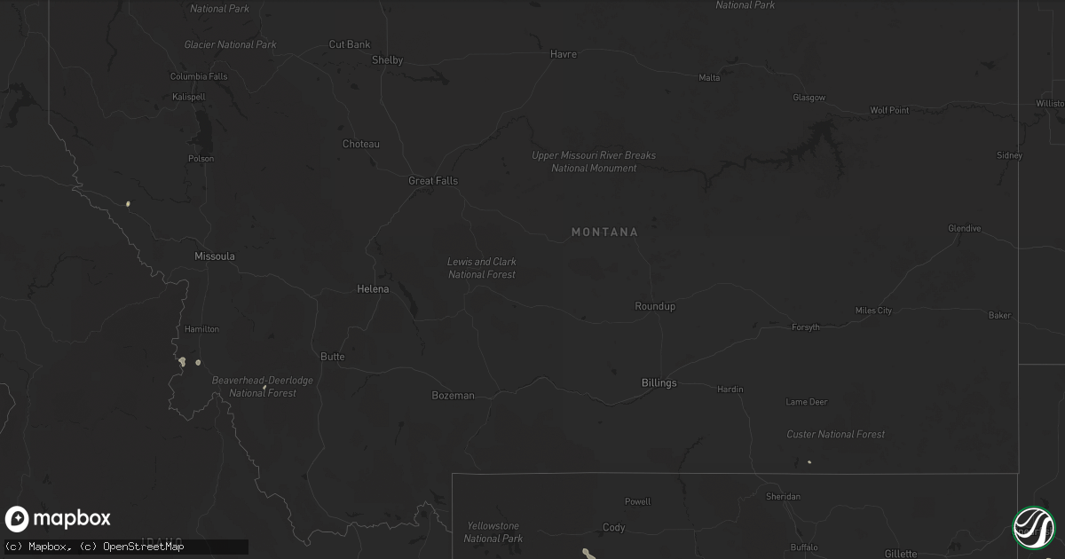
Hail Map in Montana on August 24, 2022
Get this storm
August 24 map
$229
one time, instant access
Download today. No call, no setup
Keep the $229
Bought the map and want the full workflow? Apply the entire $229 to a subscription within 7 days. None of it is wasted.
Every map, not just this one
This buys you this map. Subscription and you get every map we run, in the markets you choose from a few cities to whole states to nationwide. Plus real-time alerts the moment a storm fires.
Contact data
Name, contact info, occupancy, even credit band for addresses in the footprint. You go from where it hit to who to call.
Become the source they trust
Unlimited branding weather history reports on demand. You already have the documented answer ready for the property owner, and you are the one who showed up with it.
Property data and RoofTrace estimates
Pull up any address you have got, its value and the exact code rules for that jurisdiction, straight from One Click Code. Then RoofTrace estimates the squares, pitch, and roof value, priced the way you price.
Storm reports in Montana
Montana
| Date | Description |
|---|---|
| 08/24/20225:26 AM CDT | At 1025 PM MDT, a severe thunderstorm was located 13 miles northeast of Belgrade, or 15 miles north of Bozeman, moving northeast at 20 mph. HAZARD...60 mph wind gusts. SOURCE...Radar indicated. IMPACT...Expect damage to roofs, siding, and trees. This severe thunderstorm will remain over mainly rural areas of southeastern Meagher and northeastern Gallatin Counties. |
| 08/24/20224:57 AM CDT | At 956 PM MDT, a severe thunderstorm was located 8 miles northeast of Belgrade, or 12 miles north of Bozeman, moving northeast at 30 mph. HAZARD...60 mph wind gusts. SOURCE...Observed at the Bozeman Airport. IMPACT...Expect damage to roofs, siding, and trees. Locations impacted include... Bozeman, Belgrade, Four Corners and Bozeman Hot Springs. |
| 08/23/202210:56 PM CDT | Asos station kbzn bozeman yellowstone airport. |
All States Impacted by Hail Map on August 24, 2022
Cities Impacted by Hail Map on August 24, 2022
- Pavillion, WY
- Thermopolis, WY
- Colbert, WA
- Saint Regis, MT
- Pukwana, SD
- Allen, SD
- Wanblee, SD
- Enterprise, OR
- Imnaha, OR
- Edgemont, SD
- Hot Springs, SD
- Custer, SD
- Twentynine Palms, CA
- Vidal, CA
- Havelock, IA
- Laurens, IA
- Pocahontas, IA
- Deadwood, SD
- Saint Helen, MI
- Roscommon, MI
- Pilger, NE
- Chadron, NE
- Oelrichs, SD
- Nipton, CA
- Elk City, ID
- Porcupine, SD
- Wounded Knee, SD
- Cody, WY
- Meeteetse, WY
- Pine Valley, CA
- Campo, CA
- Kaycee, WY
- Mission, SD
- Cibola, AZ
- Wellton, AZ
- Winterhaven, CA
- Bison, SD
- Meadow, SD
- Prairie City, SD
- Hunters, WA
- Fruitland, WA
- Harrison, NE
- Burke, SD
- Porterfield, WI
- Wallace, MI
- Darby, MT
- Reliance, SD
- Lower Brule, SD
- Marinette, WI
- Menominee, MI
- Wisdom, MT
- Wood, SD
- Joshua Tree, CA
- Landers, CA
- Marathon, IA
- Algona, IA
- Thermal, CA
- Decker, MT
- Pine Ridge, SD
- Oacoma, SD
- Wisner, NE
- Hoskins, NE
- Stanton, NE
- Lostine, OR
- Quartzsite, AZ
- Bouse, AZ
- Desert Center, CA
- Gregory, SD
- Chewelah, WA
- White River, SD
- Long Valley, SD
- Wickenburg, AZ
- Norris, SD
- Spring Grove, MN
- Manderson, SD
- Newberry Springs, CA
- Malta, ID
- North Port, FL
- Buffalo, SD
- Congress, AZ
- Happy Jack, AZ


