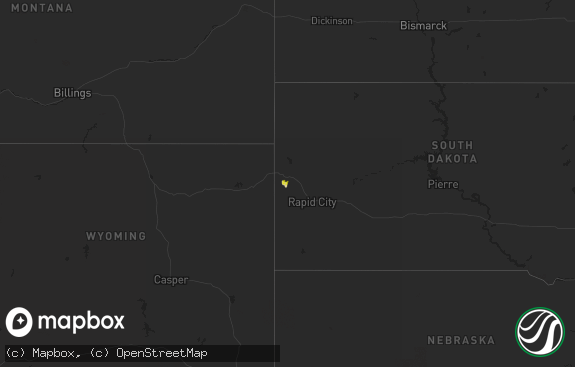
Hail Map in South Dakota on August 23, 2022
The weather event in South Dakota on August 23, 2022 includes Hail and Wind maps. 10 states and 110 cities were impacted and suffered possible damage. The total estimated number of properties impacted is 0.

Hail
Wind
0
Estimated number of impacted properties by a 1.00" hail or larger0
Estimated number of impacted properties by a 1.75" hail or larger0
Estimated number of impacted properties by a 2.50" hail or largerStorm reports in South Dakota
South Dakota
| Date | Description |
|---|---|
| 08/23/20224:22 AM CDT | Outflow from storm 10 miles north. Mesonet station 154 sd rwis platte-winner bridge. |
| 08/23/20223:35 AM CDT | A local report indicates 72 MPH wind near 2 W HAMILL |
All States Impacted by Hail Map on August 23, 2022
Cities Impacted by Hail Map on August 23, 2022
- Eagle Butte, SD
- Murdo, SD
- Draper, SD
- Hamill, SD
- Winner, SD
- Gregory, SD
- Ideal, SD
- Chamberlain, SD
- Lemmon, SD
- New Salem, ND
- Karlstad, MN
- Halma, MN
- Bismarck, ND
- Mandan, ND
- Ballston Spa, NY
- Freeman, SD
- Hettinger, ND
- Richey, MT
- Kingman, AZ
- Browning, MT
- Lance Creek, WY
- Skull Valley, AZ
- Atkinson, NE
- Naper, NE
- New Town, ND
- Roll, AZ
- Prescott, AZ
- Congress, AZ
- Payson, AZ
- Walhalla, ND
- Langdon, ND
- Bagdad, AZ
- Garrison, MT
- Avon, MT
- Willow City, ND
- Bouse, AZ
- Salome, AZ
- Scottsdale, AZ
- Stanton, ND
- Center, ND
- Bloomfield, MT
- Glendive, MT
- Circle, MT
- Cottonwood, AZ
- Phoenix, AZ
- Glendale, AZ
- Bottineau, ND
- Souris, ND
- Turtle Lake, ND
- Ruso, ND
- Mercer, ND
- Vail, AZ
- Washburn, ND
- Underwood, ND
- Hazen, ND
- Golden Valley, ND
- Timber Lake, SD
- Wilton, ND
- Wolf Point, MT
- Kirkland, AZ
- Baldwin, ND
- Tucson, AZ
- Yucca, AZ
- Max, ND
- Douglas, ND
- Minot, ND
- Gordon, NE
- Rushville, NE
- Buckeye, AZ
- Marana, AZ
- Kilgore, NE
- Mayer, AZ
- Middlebury, CT
- Woodbury, CT
- Southbury, CT
- Naugatuck, CT
- Sahuarita, AZ
- Saint Anthony, ND
- Red Rock, AZ
- Benedict, ND
- Kramer, ND
- Bantry, ND
- Plaza, ND
- Ryder, ND
- Roseglen, ND
- Parshall, ND
- Towner, ND
- Riverdale, ND
- Oxford, CT
- Beacon Falls, CT
- Seymour, CT
- Seligman, AZ
- Valentine, NE
- Garrison, ND
- Makoti, ND
- Crookston, NE
- Valier, MT
- Crown King, AZ
- Apache Junction, AZ
- Superior, AZ
- Bethany, CT
- Butte, NE
- Stickney, SD
- White Lake, SD
- Punta Gorda, FL
- Wittmann, AZ
- Benson, AZ
- Coleharbor, ND
- Olivet, SD
- Grassy Butte, ND


