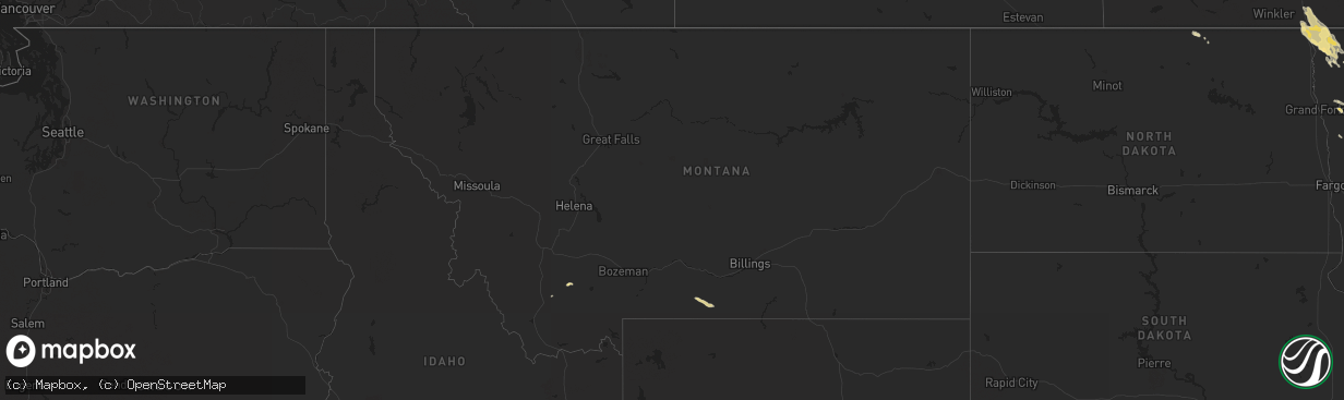
Hail Map in Montana on August 19, 2020
The weather event in Montana on August 19, 2020 includes Wind and Hail maps. 19 states and 156 cities were impacted and suffered possible damage. The total estimated number of properties impacted is 0.
Want more than just the map?
Turn this storm into a full workflow.
- Owner + property data so you know who to knock
- OnDemand branded weather history reports to win the "did we even have hail?" argument
- RoofTrace estimate so reps stop guessing numbers at the door
Bought this map? Upgrade within 7 days and we'll credit the $230. (10-15 min setup call)
Wind
Hail
0
Estimated number of impacted properties by a 1.00" hail or larger0
Estimated number of impacted properties by a 1.75" hail or larger0
Estimated number of impacted properties by a 2.50" hail or largerStorm reports in Montana
Montana
| Date | Description |
|---|---|
| 08/19/20201:16 AM CDT | At 615 PM MDT, a severe thunderstorm was located near Sheridan, moving east at 30 mph. HAZARD...60 mph wind gusts and half dollar size hail. SOURCE...Radar indicated. IMPACT...Hail damage to vehicles is expected. Expect wind damage to roofs, siding, and trees. Locations impacted include... Sheridan and Norris. |
| 08/19/20201:03 AM CDT | Mesonet station mtdpc deep creek us-12 |
| 08/19/202012:15 AM CDT | At 513 PM MDT, a severe thunderstorm was located 9 miles west of Spencer, or 17 miles northwest of Dubois, moving east northeast at 15 to 20mph. HAZARD...Quarter size hail and wind gusts of around 40 mph. SOURCE...Radar indicated. IMPACT...Damage to vehicles is expected. Locations impacted include... Spencer, Monida Pass and Humphrey. |
All States Impacted by Hail Map on August 19, 2020
Cities Impacted by Hail Map on August 19, 2020
- Wetumpka, AL
- Montgomery, AL
- Strandquist, MN
- Remer, MN
- Mentor, MN
- Red Lake Falls, MN
- Crane Lake, MN
- Toxey, AL
- Gilbertown, AL
- Fertile, MN
- Dewey, AZ
- Newfolden, MN
- Headland, AL
- Madison, AL
- Taft, TX
- Hallock, MN
- Kennedy, MN
- Camp Verde, AZ
- Crandall, GA
- Cisco, GA
- Defuniak Springs, FL
- Orr, MN
- Stephen, MN
- Colquitt, GA
- Saluda, NC
- Euclid, MN
- Trenton, GA
- Greenville, AL
- Donalsonville, GA
- Vinemont, AL
- Addison, AL
- Falkville, AL
- Erskine, MN
- Sylvania, AL
- Rainsville, AL
- Dubois, ID
- Fosston, MN
- Winger, MN
- Dalton, GA
- Chatsworth, GA
- Portland, TX
- Gregory, TX
- Hanahan, SC
- Lodgepole, NE
- Uriah, AL
- Titus, AL
- Lancaster, MN
- Bogalusa, LA
- Franklinton, LA
- Karlstad, MN
- Crookston, MN
- Sedona, AZ
- Clayton, AL
- Rome, GA
- Wiggins, MS
- Perkinston, MS
- Altha, FL
- Greensboro, GA
- Rocklake, ND
- Atmore, AL
- McDavid, FL
- Century, FL
- Ringgold, GA
- Tunnel Hill, GA
- Fairmount, GA
- Rydal, GA
- Pembina, ND
- Jupiter, FL
- Red Lodge, MT
- Roscoe, MT
- Charleston, SC
- Marietta, GA
- New Orleans, LA
- Dothan, AL
- Houston, AL
- Edgefield, SC
- Trenton, SC
- Johnston, SC
- Halma, MN
- Donaldson, MN
- Lake Bronson, MN
- Saint Vincent, MN
- Dunlap, TN
- Mcintosh, MN
- Beltrami, MN
- Millbrook, AL
- Deatsville, AL
- Little River, AL
- Stockton, AL
- Sheridan, MT
- McIntosh, AL
- Marianna, FL
- Millsboro, DE
- Laurel, DE
- Eufaula, AL
- Flat Rock, NC
- Cook, MN
- Parsonsburg, MD
- Woodstock, GA
- Braithwaite, LA
- Saint Bernard, LA
- Rolla, ND
- Concepcion, TX
- Fort Payne, AL
- Alice, TX
- Humboldt, MN
- Bathgate, ND
- Iron, MN
- Mountain Iron, MN
- Hibbing, MN
- Chisholm, MN
- Buhl, MN
- Somerville, AL
- Decatur, AL
- Lucedale, MS
- McLain, MS
- Columbia, AL
- Hartselle, AL
- Georgiana, AL
- Strathcona, MN
- Greenbush, MN
- Dillon, MT
- Damascus, GA
- Blakely, GA
- Middle River, MN
- Rockford, AL
- Marion, NC
- Athens, GA
- Nicholson, GA
- Joshua Tree, CA
- Armuchee, GA
- Brooks, MN
- Mcminnville, TN
- Goose Creek, SC
- Big Falls, MN
- Cullman, AL
- Eveleth, MN
- Makinen, MN
- Rocky Face, GA
- Jasper, GA
- Seaford, DE
- Georgetown, DE
- Estill Springs, TN
- Tullahoma, TN
- Jakin, GA
- Hollytree, AL
- Poplarville, MS
- Iron City, GA
- Easley, SC
- Prattville, AL
- Encino, TX
- Forbes, MN
- Courtland, VA
- Boykins, VA
- Capron, VA
- Newsoms, VA


