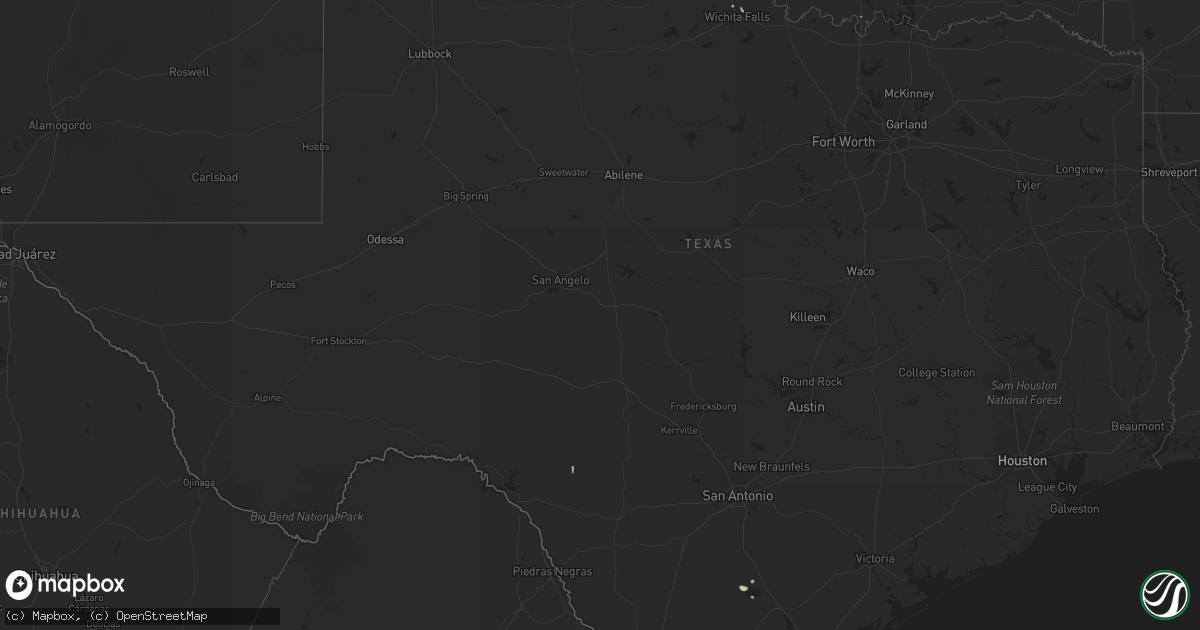
Hail Map in Texas on August 17, 2020
Get this storm
August 17 map
$229
one time, instant access
Download today. No call, no setup
Keep the $229
Bought the map and want the full workflow? Apply the entire $229 to a subscription within 7 days. None of it is wasted.
Every map, not just this one
This buys you this map. Subscription and you get every map we run, in the markets you choose from a few cities to whole states to nationwide. Plus real-time alerts the moment a storm fires.
Contact data
Name, contact info, occupancy, even credit band for addresses in the footprint. You go from where it hit to who to call.
Become the source they trust
Unlimited branding weather history reports on demand. You already have the documented answer ready for the property owner, and you are the one who showed up with it.
Property data and RoofTrace estimates
Pull up any address you have got, its value and the exact code rules for that jurisdiction, straight from One Click Code. Then RoofTrace estimates the squares, pitch, and roof value, priced the way you price.
Storm reports in Texas
Texas
| Date | Description |
|---|---|
| 08/17/20206:26 PM CDT | Ten powerline poles were snapped at their midpoint along hwy 90. |
| 08/17/20207:17 AM CDT | At 1216 AM CDT, a severe thunderstorm was located over Douglass, or 12 miles west of Nacogdoches, moving southeast at 20 mph. HAZARD...60 mph wind gusts and quarter size hail. SOURCE...Radar indicated. IMPACT...Hail damage to vehicles is expected. Expect wind damage to roofs, siding, and trees. Locations impacted include... Nacogdoches and Douglass. |
| 08/17/20207:09 AM CDT | At 1208 AM CDT, a cluster of severe thunderstorms was located near Corrigan, or 9 miles southwest of Diboll, moving south at 25 mph. HAZARD...60 mph wind gusts and quarter size hail. SOURCE...Radar indicated. IMPACT...Hail damage to vehicles is expected. Expect wind damage to roofs, siding, and trees. Locations impacted include... Apple Springs, Trinity, Corrigan, Groveton, Sebastopol, Pennington and Centralia. |
| 08/17/20207:04 AM CDT | At 1204 AM CDT, a severe thunderstorm was located over Mount Vernon, or 13 miles west of Mount Pleasant, moving south at 10 mph. HAZARD...60 mph wind gusts and quarter size hail. SOURCE...Radar indicated. IMPACT...Hail damage to vehicles is expected. Expect wind damage to roofs, siding, and trees. Locations impacted include... Mount Vernon, Purley, Cypress and Hopewell. |
| 08/16/202011:30 PM CDT | At 429 PM CDT, a severe thunderstorm was located 12 miles northeast of Alamo Village, or 18 miles northeast of Brackettville, moving southwest at 25 mph. HAZARD...60 mph wind gusts. SOURCE...Radar indicated. IMPACT...Expect damage to roofs, siding, and trees. Locations impacted include... Alamo Village and Turkey Mountain. |
All States Impacted by Hail Map on August 17, 2020
Cities Impacted by Hail Map on August 17, 2020
- Commerce, GA
- Homer, GA
- Waurika, OK
- Hastings, OK
- Honesdale, PA
- Equinunk, PA
- Pleasant Mount, PA
- Stuart, FL
- Palm Coast, FL
- Bunnell, FL
- Valentine, NE
- Melbourne Beach, FL
- Agar, SD
- Pierre, SD
- Eagle Butte, SD
- Onida, SD
- Randlett, OK
- Angora, NE
- Bridgeport, NE
- Belle Glade, FL
- Alliance, NE
- Geneva, FL
- Wilmer, AL
- Mcdonough, GA
- Fort Pierre, SD
- Presho, SD
- Maupin, OR
- Warm Springs, OR
- Jefferson, GA
- Hay Springs, NE
- Chadron, NE
- Alamogordo, NM
- Tunkhannock, PA
- Broadwater, NE
- Crooksville, OH
- Roseville, OH
- Blue Rock, OH
- Mcconnelsville, OH
- Lucedale, MS
- Shelby, NC
- Kings Mountain, NC
- Cherryville, NC
- Calliham, TX
- Elkton, FL
- Thedford, NE
- Hemingford, NE
- Fort Yates, ND
- Washoe Valley, NV
- Meshoppen, PA
- Mehoopany, PA
- Dunnellon, FL
- Titusville, FL
- Clarks Summit, PA
- Dalton, PA
- Reno, NV
- Okeechobee, FL
- Mountain Top, PA
- Blunt, SD
- Loxahatchee, FL
- Lower Brule, SD
- Perry, FL
- Whitsett, TX
- Marietta, OK
- Prescott, AZ
- Three Rivers, TX
- Hialeah, FL
- Fort Pierce, FL
- Draper, SD
- Wind Gap, PA
- Bath, PA
- Laceyville, PA
- Eunice, NM
- Cloudcroft, NM
- Wichita Falls, TX
- Sells, AZ
- Oswego, NY
- Madras, OR
- Citronelle, AL
- Culver, OR
- Lake Harmony, PA
- Genoa, NV
- Prattville, AL
- Pollock, SD
- Rocksprings, TX
- Windermere, FL
- Winter Garden, FL
- Malta, OH


