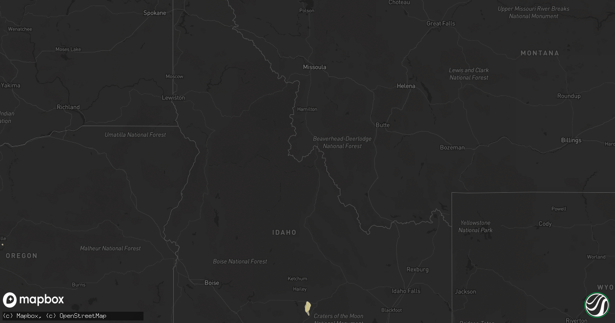
Hail Map in Idaho on August 2, 2021
Get this storm
August 2 map
$229
one time, instant access
Download today. No call, no setup
Keep the $229
Bought the map and want the full workflow? Apply the entire $229 to a subscription within 7 days. None of it is wasted.
Every map, not just this one
This buys you this map. Subscription and you get every map we run, in the markets you choose from a few cities to whole states to nationwide. Plus real-time alerts the moment a storm fires.
Contact data
Name, contact info, occupancy, even credit band for addresses in the footprint. You go from where it hit to who to call.
Become the source they trust
Unlimited branding weather history reports on demand. You already have the documented answer ready for the property owner, and you are the one who showed up with it.
Property data and RoofTrace estimates
Pull up any address you have got, its value and the exact code rules for that jurisdiction, straight from One Click Code. Then RoofTrace estimates the squares, pitch, and roof value, priced the way you price.
Storm reports in Idaho
Idaho
| Date | Description |
|---|---|
| 08/02/20211:54 AM CDT | At 654 PM MDT, a severe thunderstorm was located over Pocatello Airport, or near Pocatello, moving southeast at 55 mph. HAZARD...60 mph wind gusts. SOURCE...Radar indicated. IMPACT...Expect damage to roofs, siding, and trees. Locations impacted include... Pocatello, Blackfoot, American Falls, American Falls Reservoir, Chubbuck, Firth, Fort Hall Buffalo Lodge, Rose, Fort Hall Eagle Lodge, Fort Hall Lincoln Creek Lodge, Fort Hall Townsite, Fort Hall Bannock Creek Lodge, Pocatello Airport, Fort Hall Putnam Lodge, Groveland, Wapello and Trail Creek Campground. |
| 08/01/20218:47 PM CDT | Fallen tree limbs sustaining damage to a house with branches in roadways. |
| 08/01/20218:03 PM CDT | A local report indicates 60 MPH wind near POCATELLO |
All States Impacted by Hail Map on August 2, 2021
Cities Impacted by Hail Map on August 2, 2021
- Vail, AZ
- Tifton, GA
- Teasdale, UT
- Picabo, ID
- Bellevue, ID
- Richfield, ID
- Union Springs, AL
- Orlando, FL
- Tucson, AZ
- Snowville, UT
- Three Rivers, TX
- Naco, AZ
- Bisbee, AZ
- McRae Helena, GA
- Kissimmee, FL
- Warren, TX
- Waycross, GA
- Manor, GA
- Prineville, OR
- Hanksville, UT
- Summerville, SC
- Hayneville, AL
- Leesburg, GA
- Century, FL
- Jennings, LA
- Kinder, LA
- Elton, LA
- Flomaton, AL
- Brewton, AL
- Douglas, AZ
- Pirtleville, AZ
- Rochelle, GA
- Fort Pierce, FL
- Vero Beach, FL
- Thoreau, NM
- Mobile, AL
- Avon Park, FL
- Sebring, FL
- Saint Cloud, FL
- Laguna, NM
- Blanding, UT
- Animas, NM
- Ridgeville, SC
- Banks, AL
- Midway, AL
- Lowndesboro, AL
- Montgomery, AL
- Prattville, AL
- Brunswick, GA
- Dragoon, AZ
- Glenwood, GA
- Oakfield, GA
- Hahira, GA
- Cottageville, SC
- Round O, SC
- Delray Beach, FL
- Boca Raton, FL
- Pike Road, AL
- Bend, OR
- Melbourne, FL
- Rockledge, FL
- Lordsburg, NM


