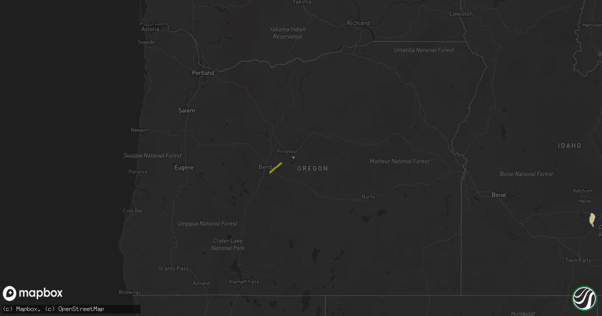
Hail Map in Oregon on August 2, 2021
Get this storm
August 2 map
$229
one time, instant access
Download today. No call, no setup
Keep the $229
Bought the map and want the full workflow? Apply the entire $229 to a subscription within 7 days. None of it is wasted.
Every map, not just this one
This buys you this map. Subscription and you get every map we run, in the markets you choose from a few cities to whole states to nationwide. Plus real-time alerts the moment a storm fires.
Contact data
Name, contact info, occupancy, even credit band for addresses in the footprint. You go from where it hit to who to call.
Become the source they trust
Unlimited branding weather history reports on demand. You already have the documented answer ready for the property owner, and you are the one who showed up with it.
Property data and RoofTrace estimates
Pull up any address you have got, its value and the exact code rules for that jurisdiction, straight from One Click Code. Then RoofTrace estimates the squares, pitch, and roof value, priced the way you price.
Storm reports in Oregon
Oregon
| Date | Description |
|---|---|
| 08/02/20213:40 PM CDT | Spotter reported quarter sized hail... With damage to aluminum siding. Ponding due heavy rain. |
| 08/02/20212:55 PM CDT | Report relayed by tv of hail slightly larger than an inch 8.5 miles se of bend |
| 08/01/20218:45 PM CDT | At 145 PM PDT, a severe thunderstorm was located 7 miles northeast of Alfalfa, or 12 miles south of Prineville, moving northeast at 10 mph. HAZARD...Quarter size hail. SOURCE...Public. IMPACT...Damage to vehicles is expected. Locations impacted include... Prineville and Post. |
| 08/01/20218:21 PM CDT | At 120 PM PDT, a severe thunderstorm was located near Alfalfa, or 14 miles south of Prineville, moving northeast at 10 mph. HAZARD...Quarter size hail. SOURCE...Radar indicated. IMPACT...Damage to vehicles is expected. Locations impacted include... Prineville and Powell Butte. |
All States Impacted by Hail Map on August 2, 2021
Cities Impacted by Hail Map on August 2, 2021
- Vail, AZ
- Tifton, GA
- Teasdale, UT
- Picabo, ID
- Bellevue, ID
- Richfield, ID
- Union Springs, AL
- Orlando, FL
- Tucson, AZ
- Snowville, UT
- Three Rivers, TX
- Naco, AZ
- Bisbee, AZ
- McRae Helena, GA
- Kissimmee, FL
- Warren, TX
- Waycross, GA
- Manor, GA
- Prineville, OR
- Hanksville, UT
- Summerville, SC
- Hayneville, AL
- Leesburg, GA
- Century, FL
- Jennings, LA
- Kinder, LA
- Elton, LA
- Flomaton, AL
- Brewton, AL
- Douglas, AZ
- Pirtleville, AZ
- Rochelle, GA
- Fort Pierce, FL
- Vero Beach, FL
- Thoreau, NM
- Mobile, AL
- Avon Park, FL
- Sebring, FL
- Saint Cloud, FL
- Laguna, NM
- Blanding, UT
- Animas, NM
- Ridgeville, SC
- Banks, AL
- Midway, AL
- Lowndesboro, AL
- Montgomery, AL
- Prattville, AL
- Brunswick, GA
- Dragoon, AZ
- Glenwood, GA
- Oakfield, GA
- Hahira, GA
- Cottageville, SC
- Round O, SC
- Delray Beach, FL
- Boca Raton, FL
- Pike Road, AL
- Bend, OR
- Melbourne, FL
- Rockledge, FL
- Lordsburg, NM


