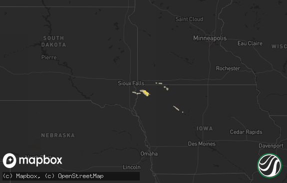
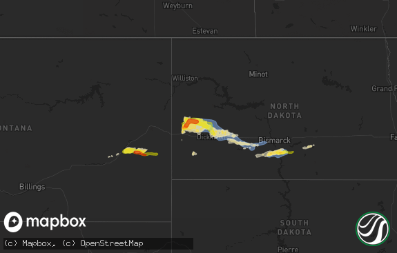
Hail Map in South Carolina on July 27, 2020
The weather event in South Carolina on July 27, 2020 includes Hail and Wind maps. 18 states and 157 cities were impacted and suffered possible damage. The total estimated number of properties impacted is 0.

Hail
Wind
0
Estimated number of impacted properties by a 1.00" hail or larger0
Estimated number of impacted properties by a 1.75" hail or larger0
Estimated number of impacted properties by a 2.50" hail or largerStorm reports in South Carolina
South Carolina
| Date | Description |
|---|---|
| 07/27/20205:05 PM CDT | Tree blown down at the intersection of willard road and stoney point road. |
| 07/27/20202:14 AM CDT | At 713 PM EDT, a severe thunderstorm was located 10 miles southeast of Easley, or near Piedmont, moving northeast at 20 mph. HAZARD...60 mph wind gusts and nickel size hail. SOURCE...Radar indicated. IMPACT...Expect damage to trees and power lines. Locations impacted include... Greenville Downtown, Greenville Eastside, West Greenville, Mauldin, Simpsonville, Welcome, Powdersville, Piedmont, Williamston and West Pelzer. |
| 07/27/20201:38 AM CDT | At 637 PM EDT, a severe thunderstorm was located near Elgin, or 12 miles southwest of Camden, and is nearly stationary. HAZARD...60 mph wind gusts and penny size hail. SOURCE...Radar indicated. IMPACT...Expect damage to roofs, siding, and trees. Locations impacted include... Lugoff, Elgin and Boykin. This includes Interstate 20 in South Carolina between mile markers 83and 96. |
| 07/27/20201:00 AM CDT | At 600 PM EDT, a severe thunderstorm was located 7 miles north of Greenwood, or 4 miles east of Cokesbury, moving northeast at 15 mph. HAZARD...60 mph wind gusts and nickel size hail. SOURCE...Radar indicated. IMPACT...Expect damage to trees and power lines. Locations impacted include... Cross Hill, Cokesbury, Waterloo, Lake Greenwood, Coronaca, Mountville, Hodges and Greenwood. |
All States Impacted by Hail Map on July 27, 2020
Cities Impacted by Hail Map on July 27, 2020
- Chester, CA
- Indianapolis, IN
- Danville, IN
- Brownsburg, IN
- Avon, IN
- Pittsboro, IN
- Lizton, IN
- Greenfield, IN
- Beech Grove, IN
- Camby, IN
- Plainfield, IN
- Needham, IN
- Fairland, IN
- Boggstown, IN
- Shelbyville, IN
- Newport, ME
- Hampden, ME
- Skowhegan, ME
- Dixmont, ME
- Athens, ME
- Bucksport, ME
- Plymouth, ME
- Harmony, ME
- Winterport, ME
- Hartland, ME
- Etna, ME
- Palmyra, ME
- Saint Albans, ME
- Detroit, ME
- Carmel, ME
- Leipsic, OH
- Amherst, OH
- Lorain, OH
- Elyria, OH
- Tiro, OH
- Bucyrus, OH
- New Washington, OH
- Shelby, OH
- Avon, OH
- Cleveland, OH
- Westlake, OH
- Brookpark, OH
- Olmsted Falls, OH
- North Ridgeville, OH
- North Olmsted, OH
- Columbus, OH
- Grove City, OH
- Minoa, NY
- Syracuse, NY
- Kirkville, NY
- East Syracuse, NY
- Camillus, NY
- Stamford, NY
- Hobart, NY
- Monument Valley, UT
- Vega, TX
- Clarendon, TX
- Clayton, NM
- Bisbee, AZ
- Frohna, MO
- Perryville, MO
- Uniontown, MO
- Canadian, TX
- Pritchett, CO
- Pickerington, OH
- Reynoldsburg, OH
- Benson, AZ
- Maysville, GA
- Gillsville, GA
- Silverton, TX
- Somerset, OH
- New Lexington, OH
- Mount Perry, OH
- Yreka, CA
- Panguitch, UT
- Monroeville, IN
- Convoy, OH
- Continental, OH
- Miller City, OH
- Redkey, IN
- Portland, IN
- Roseville, OH
- Kirklin, IN
- North Vernon, IN
- West Harrison, IN
- Tulia, TX
- Pomona Park, FL
- Eaton, IN
- Dunkirk, IN
- Albany, IN
- Port Saint Lucie, FL
- Napoleon, OH
- Defiance, OH
- Holgate, OH
- Mendon, OH
- Rockford, OH
- Ridgeville, IN
- Ridgway, IL
- Junction, IL
- Shawneetown, IL
- Greenville, CA
- Canyon Dam, CA
- Reed, KY
- Owensboro, KY
- Trenton, SC
- Needville, TX
- Boling, TX
- Williamston, SC
- Pelzer, SC
- Lake Placid, FL
- Happy Camp, CA
- Nashport, OH
- Frazeysburg, OH
- Canal Winchester, OH
- Groveport, OH
- Lockbourne, OH
- Rushville, OH
- Groom, TX
- Morganfield, KY
- Palatka, FL
- Rushville, IN
- Fort Jones, CA
- Butlerville, IN
- Loveland, OH
- Attica, IN
- Westpoint, IN
- Henderson, KY
- Venus, FL
- Naples, FL
- Claude, TX
- Eaton, OH
- West Alexandria, OH
- Graysville, OH
- Wingett Run, OH
- Lower Salem, OH
- Spottsville, KY
- Mclean, TX
- Dimmitt, TX
- Blanchester, OH
- Fayetteville, OH
- Teasdale, UT
- Torrey, UT
- Lebanon, IN
- Pampa, TX
- Lugoff, SC
- Paulding, OH
- Oakwood, OH
- Dresden, OH
- Shonto, AZ
- Page, AZ
- Pataskala, OH
- Baltimore, OH
- Uniontown, KY
- Williamstown, WV
- Vienna, WV
- Thornville, OH
- Millersport, OH


