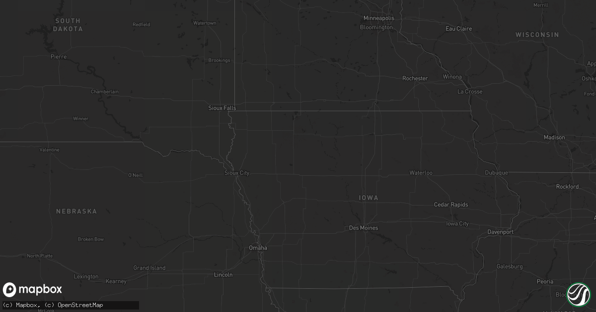
Hail Map in Indiana on July 27, 2020
Get this storm
July 27 map
$229
one time, instant access
Download today. No call, no setup
Keep the $229
Bought the map and want the full workflow? Apply the entire $229 to a subscription within 7 days. None of it is wasted.
Every map, not just this one
This buys you this map. Subscription and you get every map we run, in the markets you choose from a few cities to whole states to nationwide. Plus real-time alerts the moment a storm fires.
Contact data
Name, contact info, occupancy, even credit band for addresses in the footprint. You go from where it hit to who to call.
Become the source they trust
Unlimited branding weather history reports on demand. You already have the documented answer ready for the property owner, and you are the one who showed up with it.
Property data and RoofTrace estimates
Pull up any address you have got, its value and the exact code rules for that jurisdiction, straight from One Click Code. Then RoofTrace estimates the squares, pitch, and roof value, priced the way you price.
Storm reports in Indiana
Indiana
| Date | Description |
|---|---|
| 07/27/20204:00 PM CDT | Power line pole hanging over road at intersection of 700n and 800e. Also power lines down to south on 500n. Time estimated from radar. |
| 07/27/20203:52 PM CDT | Downed trees and power lines between manilla and 950w from 450-455p edt. |
| 07/27/20203:45 PM CDT | Multiple trees down at 122 east county road 400n including a large pine tree. Time estimated from radar. |
| 07/27/20203:40 PM CDT | 5 trees were reported down across shelby county including near intersection of in-9 and 425n. Time estimated from both radar and nearby asos gust. |
| 07/27/20203:38 PM CDT | A local report indicates 60 MPH wind near 3 ESE FAIRLAND |
| 07/27/20203:29 PM CDT | 60 mph wind gust reported at shelbyville airport asos. |
| 07/27/20203:20 PM CDT | Trained spotter reported tree knocked down. Tree was healthy and 10 inches in diameter. |
| 07/27/20203:14 PM CDT | Tree limbs down. 1 foot diameter. |
| 07/27/20203:03 PM CDT | Estimate winds 45-55mph. No damage. Heavy rain. |
| 07/27/20203:00 PM CDT | Tree down across the road. |
| 07/27/20202:51 PM CDT | Tree snapped at wfo ind. |
| 07/27/20202:48 PM CDT | Damage to partially built structure at 7110 northfield drive. And nearby tree limbs down from 60 mph gusts. |
| 07/27/20202:47 PM CDT | Lawn furniture blown over... Chairs and kids picnic table. Estimate 45-50 mph wind gust... No branches down. Tree was bent over by about 3/4 to half. Started around 3:4 |
| 07/27/20202:47 PM CDT | Two windows and a frame on a porch was blown out by the wind in speedway... Indiana at 1755 n lynhurst drive. Estimated wind 47-54 mph. |
| 07/27/20202:45 PM CDT | Damage to partially built strip mall at 7110 northfield drive. There was 4 injures including one critical one to a juvenile. Nearby tree limbs down from 60 mph gusts. |
| 07/26/202011:48 PM CDT | At 448 PM EDT, a severe thunderstorm was located near Rushville, or 16 miles east of Shelbyville, moving east at 40 mph. HAZARD...60 mph wind gusts. SOURCE...Radar indicated. IMPACT...Expect damage to roofs, siding, and trees. Locations impacted include... Greensburg, Rushville, Adams, Milford, St. Paul, Milroy, Glenwood, Clarksburg, Moscow, New Salem, Manilla, Sandusky, Lake Santee and Arlington.This includes Interstate 74 between mile markers 124 and 139. |
| 07/26/202011:31 PM CDT | At 431 PM EDT, a severe thunderstorm was located near Shelbyville, moving east at 50 mph. HAZARD...60 mph wind gusts. SOURCE...Radar indicated. IMPACT...Expect damage to roofs, siding, and trees. Locations impacted include... Shelbyville, Edinburgh, Flat Rock, Geneva, Morristown, St. Paul, Fairland, Marietta, Waldron and Boggstown.This includes the following highways... Interstate 65 between mile markers 80 and 83. Interstate 74 between mile markers 101 and 123. |
| 07/26/202010:54 PM CDT | At 354 PM EDT, a severe thunderstorm was located over Indianapolis, moving east at 50 mph. HAZARD...60 mph wind gusts. SOURCE...Radar indicated. IMPACT...Expect damage to roofs, siding, and trees. Locations impacted include... Indianapolis, Carmel, Fishers, Lawrence, Beech Grove, Speedway, Cumberland, McCordsville, Fortville, New Palestine, Meridian Hills, Warren Park, Rocky Ripple, Williams Creek, Wynnedale, Spring Lake, Spring Hill, Crows Nest, North Crows Nest and Geist Reservoir.This includes the following highways... Interstate 65 between mile markers 106 and 121. Interstate 69 between mile markers 200 and 213. Interstate 70 between mile markers 74 and 99. Interstate 74 between mile markers 93 and 96. |
All States Impacted by Hail Map on July 27, 2020
Cities Impacted by Hail Map on July 27, 2020
- Chester, CA
- Indianapolis, IN
- Danville, IN
- Brownsburg, IN
- Avon, IN
- Pittsboro, IN
- Lizton, IN
- Greenfield, IN
- Beech Grove, IN
- Camby, IN
- Plainfield, IN
- Needham, IN
- Fairland, IN
- Boggstown, IN
- Shelbyville, IN
- Newport, ME
- Hampden, ME
- Skowhegan, ME
- Dixmont, ME
- Athens, ME
- Bucksport, ME
- Plymouth, ME
- Harmony, ME
- Winterport, ME
- Hartland, ME
- Etna, ME
- Palmyra, ME
- Saint Albans, ME
- Detroit, ME
- Carmel, ME
- Leipsic, OH
- Amherst, OH
- Lorain, OH
- Elyria, OH
- Tiro, OH
- Bucyrus, OH
- New Washington, OH
- Shelby, OH
- Avon, OH
- Cleveland, OH
- Westlake, OH
- Brookpark, OH
- Olmsted Falls, OH
- North Ridgeville, OH
- North Olmsted, OH
- Columbus, OH
- Grove City, OH
- Minoa, NY
- Syracuse, NY
- Kirkville, NY
- East Syracuse, NY
- Camillus, NY
- Stamford, NY
- Hobart, NY
- Monument Valley, UT
- Vega, TX
- Clarendon, TX
- Clayton, NM
- Bisbee, AZ
- Frohna, MO
- Perryville, MO
- Uniontown, MO
- Canadian, TX
- Pritchett, CO
- Pickerington, OH
- Reynoldsburg, OH
- Benson, AZ
- Maysville, GA
- Gillsville, GA
- Silverton, TX
- Somerset, OH
- New Lexington, OH
- Mount Perry, OH
- Yreka, CA
- Panguitch, UT
- Monroeville, IN
- Convoy, OH
- Continental, OH
- Miller City, OH
- Redkey, IN
- Portland, IN
- Roseville, OH
- Kirklin, IN
- North Vernon, IN
- West Harrison, IN
- Tulia, TX
- Pomona Park, FL
- Eaton, IN
- Dunkirk, IN
- Albany, IN
- Port Saint Lucie, FL
- Napoleon, OH
- Defiance, OH
- Holgate, OH
- Mendon, OH
- Rockford, OH
- Ridgeville, IN
- Ridgway, IL
- Junction, IL
- Shawneetown, IL
- Greenville, CA
- Canyon Dam, CA
- Reed, KY
- Owensboro, KY
- Trenton, SC
- Needville, TX
- Boling, TX
- Williamston, SC
- Pelzer, SC
- Lake Placid, FL
- Happy Camp, CA
- Nashport, OH
- Frazeysburg, OH
- Canal Winchester, OH
- Groveport, OH
- Lockbourne, OH
- Rushville, OH
- Groom, TX
- Morganfield, KY
- Palatka, FL
- Rushville, IN
- Fort Jones, CA
- Butlerville, IN
- Loveland, OH
- Attica, IN
- Westpoint, IN
- Henderson, KY
- Venus, FL
- Naples, FL
- Claude, TX
- Eaton, OH
- West Alexandria, OH
- Graysville, OH
- Wingett Run, OH
- Lower Salem, OH
- Spottsville, KY
- Mclean, TX
- Dimmitt, TX
- Blanchester, OH
- Fayetteville, OH
- Teasdale, UT
- Torrey, UT
- Lebanon, IN
- Pampa, TX
- Lugoff, SC
- Paulding, OH
- Oakwood, OH
- Dresden, OH
- Shonto, AZ
- Page, AZ
- Pataskala, OH
- Baltimore, OH
- Uniontown, KY
- Williamstown, WV
- Vienna, WV
- Thornville, OH
- Millersport, OH


