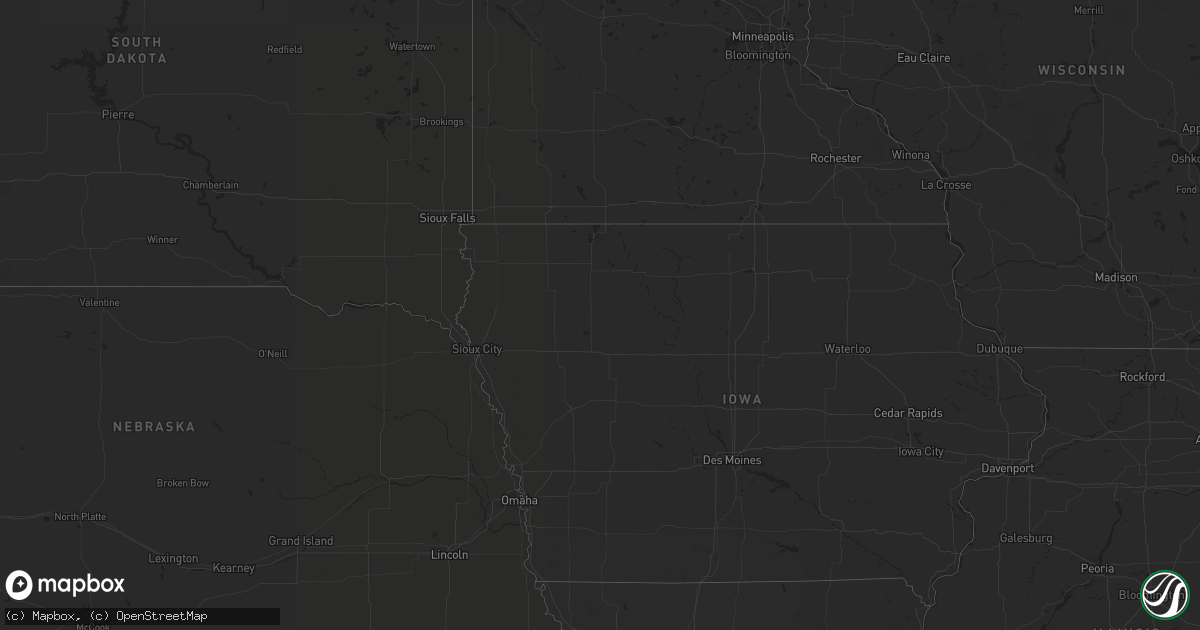
Hail Map in Ohio on July 27, 2020
Get this storm
July 27 map
$229
one time, instant access
Download today. No call, no setup
Keep the $229
Bought the map and want the full workflow? Apply the entire $229 to a subscription within 7 days. None of it is wasted.
Every map, not just this one
This buys you this map. Subscription and you get every map we run, in the markets you choose from a few cities to whole states to nationwide. Plus real-time alerts the moment a storm fires.
Contact data
Name, contact info, occupancy, even credit band for addresses in the footprint. You go from where it hit to who to call.
Become the source they trust
Unlimited branding weather history reports on demand. You already have the documented answer ready for the property owner, and you are the one who showed up with it.
Property data and RoofTrace estimates
Pull up any address you have got, its value and the exact code rules for that jurisdiction, straight from One Click Code. Then RoofTrace estimates the squares, pitch, and roof value, priced the way you price.
Storm reports in Ohio
Ohio
| Date | Description |
|---|---|
| 07/27/20206:46 PM CDT | Tree down on state route 574 |
| 07/27/20206:07 PM CDT | Tree down along reading township road. |
| 07/27/20205:58 PM CDT | Tree down on dresden road. |
| 07/27/20205:50 PM CDT | Two trees downs |
| 07/27/20205:50 PM CDT | Tree on a home. |
| 07/27/20205:45 PM CDT | A number of trees down in frazeysburg |
| 07/27/20205:37 PM CDT | Large healthy tree down on beech road. Several smaller trees down as well. Time estimated from radar. |
| 07/27/20205:28 PM CDT | Tree down along zion road. |
| 07/27/20205:27 PM CDT | A 4 inch and 6 inch branch down |
| 07/27/20205:21 PM CDT | 6 inch limbs knocked down. |
| 07/27/20205:20 PM CDT | Tree down on car. No injuries. Time est by radar. |
| 07/27/20205:20 PM CDT | Tree down on car. No injuries. Time est by radar. |
| 07/27/20205:15 PM CDT | Multiple trees down across roadway. Time est from radar. |
| 07/27/20205:12 PM CDT | One outbuilding destroyed off of palmer road. Damage to a billboard south of interstate 70. |
| 07/27/20205:11 PM CDT | Several trees downed in the area of palmer road and beechwood drive. Corrected event time from earlier 4 nne pickerington report. |
| 07/27/20204:55 PM CDT | A couple large tree limbs downed in a neighborhood northwest of obetz. |
| 07/27/20204:53 PM CDT | Tree down across roadway. Time est by radar. |
| 07/27/20204:51 PM CDT | 3 inch branch down. Time estimated from radar. |
| 07/27/20204:45 PM CDT | Numerous trees downed...generally in the area between gantz road and hoover road. |
| 07/27/20204:45 PM CDT | Small trees of 4-5 inches in diameter knocked down. |
| 07/27/20204:30 PM CDT | Numerous power poles and trees damaged in the gantz road and frank road area. |
| 07/27/20204:24 PM CDT | 8-12 inch diameter tree tops down. |
| 07/27/20203:30 PM CDT | Tree limb down. |
| 07/27/20202:29 PM CDT | *delayed report* tree down at douglas st. And south st. |
| 07/27/20201:00 PM CDT | Tree down within the town of pandora. Time estimated based on radar. |
| 07/27/20203:34 AM CDT | At 833 PM EDT, a severe thunderstorm was located near New Martinsville, moving east at 35 mph. HAZARD...Wind gusts to 60 mph. SOURCE...Radar. IMPACT...Expect damage to trees and power lines, resulting in some power outages. Locations impacted include... New Martinsville... Mannington... Pine Grove... Hundred... Jacksonburg... Wileyville... Proctor... Big Run... Reader... Knob Fork... Littleton... Porters Falls... |
| 07/27/20202:30 AM CDT | At 730 PM EDT, a severe thunderstorm was located near Williamstown, or near Marietta, moving east at 30 mph. HAZARD...60 mph wind gusts. SOURCE...Radar indicated. IMPACT...Expect damage to roofs, siding, and trees. Locations impacted include... Marietta, St. Marys, Williamstown, Sistersville, Belmont, Boaz, Newport, Matamoras, Friendly, Willow Island, Maxwell, Schultz, Arvilla, Point Lookout, New Matamoras, Wick, Waverly, Mountain, Hebron and Highland.This includes the following highways... Interstate 77 in West Virginia between mile markers 182 and 186. Interstate 77 in Ohio between mile markers 1 and 3. Route 50 in West Virginia near mile marker 15, and mile marker 20and near mile marker 23. |
| 07/27/20202:28 AM CDT | At 727 PM EDT, a severe thunderstorm was located 10 miles west of Caldwell, moving east at 30 mph. HAZARD...Wind gusts to 60 mph. SOURCE...Radar. IMPACT...Expect damage to trees and power lines, resulting in some power outages. Locations impacted include... Caldwell... Dudley... Summerfield... Belle Valley... Sarahsville... Batesville... Seneca Lake Park... Wolf Run State Park...This includes Interstate 77 in Ohio between mile markers 23 and 36. |
| 07/27/20201:42 AM CDT | At 641 PM EDT, a severe thunderstorm was located over Somerset, moving east at 35 mph. HAZARD...Wind gusts to 60 mph. SOURCE...Radar. IMPACT...Expect damage to trees and power lines, resulting in some power outages. Locations impacted include... Zanesville... South Zanesville... Philo... Pleasant Grove... Gratiot... Fultonham... Cannelville... High Hill... Chandlersville... Ruraldale... Duncan Falls... East Fultonham...This includes Interstate 70 in Ohio near mile marker 143, andbetween mile markers 145 and 160. |
| 07/27/20201:39 AM CDT | At 639 PM EDT, a severe thunderstorm was located over Somerset, moving east at 30 mph. HAZARD...60 mph wind gusts. SOURCE...Radar indicated. IMPACT...Expect damage to roofs, siding, and trees. Locations impacted include... Somerset, Perry State Forest, Crooksville and Glenford. |
| 07/27/20201:36 AM CDT | At 636 PM EDT, a severe thunderstorm was located over Frazeysburg, or 11 miles northwest of Zanesville, moving east at 35 mph. HAZARD...Wind gusts to 60 mph. SOURCE...Radar. IMPACT...Expect damage to trees and power lines, resulting in some power outages. Locations impacted include... Zanesville... Coshocton... New Concord... North Zanesville... Dresden... Frazeysburg... Pleasant Grove... Conesville... Norwich... Bridgeville... Otsego... Drake...This includes Interstate 70 in Ohio between mile markers 158 and169. |
| 07/27/20201:30 AM CDT | At 630 PM EDT, a severe thunderstorm was located over Bexley. Another severe thunderstorm was located near Buckeye Lake. These storms were moving east at 25 mph. HAZARD...60 mph wind gusts. SOURCE...Radar indicated. IMPACT...Expect damage to trees and power lines. Locations impacted include... Columbus, Newark, Reynoldsburg, Grove City, Gahanna, Pickerington, Bexley, Heath, Granville, Pataskala, Canal Winchester, Groveport, Baltimore, Buckeye Lake, Hebron, Millersport, Hanover, Harbor Hills, Granville South and Marne.This includes the following Interstates... I-70 in Ohio between mile markers 99 and 142, and near mile marker144. I-71 in Ohio between mile markers 101 and 113. |
| 07/27/202012:51 AM CDT | At 551 PM EDT, a severe thunderstorm was located near Grove City, moving east at 25 mph. HAZARD...60 mph wind gusts and penny size hail. SOURCE...Radar indicated. IMPACT...Expect damage to trees and power lines. Locations impacted include... Columbus, Reynoldsburg, Grove City, Gahanna, Pickerington, Bexley, Pataskala, Canal Winchester, Groveport, Summit Station, Whitehall, Etna, Grandview Heights, Obetz, Lithopolis, Urbancrest, Valleyview, Carroll, Lockbourne and Brice.This includes the following Interstates... I-70 in Ohio between mile markers 96 and 119. I-71 in Ohio between mile markers 98 and 110. |
| 07/27/202012:16 AM CDT | At 515 PM EDT, a severe thunderstorm was located near New Wilmington, or near Hermitage, moving east at 20 mph. HAZARD...Wind gusts to 60 mph. SOURCE...Radar. IMPACT...Expect damage to trees and power lines, resulting in some power outages. Locations impacted include... Hermitage... Sharon... Farrell... New Wilmington... New Castle Northwest... Mercer... Pulaski... West Middlesex... Plain Grove Township... Wheatland... Harlansburg... Jackson Center...This includes the following highways... Interstate 79 in Pennsylvania between mile markers 110 and 122. Interstate 80 in Pennsylvania between mile markers 0 and 20. Interstate 376 in Pennsylvania between mile markers 4 and 11. |
| 07/26/202010:55 PM CDT | At 355 PM EDT, a severe thunderstorm was located over North Ridgeville, or near Elyria, moving east at 20 mph. HAZARD...60 mph wind gusts. SOURCE...Radar indicated. IMPACT...Expect damage to trees and power lines. Locations impacted include... Cleveland, Parma, Lakewood, Westlake, North Olmsted, Parma Heights, Rocky River, Brook Park, Berea, Fairview Park, Middleburg Heights, Bay Village, Seven Hills, Brooklyn, Olmsted Falls, Independence, Newburgh Heights, Brooklyn Heights, Cuyahoga Heights and Linndale. |
| 07/26/202010:48 PM CDT | At 348 PM EDT, a severe thunderstorm was located over Chatfield, or 9 miles north of Bucyrus, moving east at 35 mph. HAZARD...60 mph wind gusts. SOURCE...Radar indicated. IMPACT...Expect damage to trees and power lines. Locations impacted include... Bucyrus, Shelby, Willard, New London, Plymouth, New Washington, Chatfield, Greenwich, Benton, North Fairfield, Tiro, Sulpher Springs, Shenandoah and Olivesburg. |
| 07/26/202010:21 PM CDT | At 321 PM EDT, a severe thunderstorm was located over Western Vermilion, or over Vermilion, moving east at 25 mph. HAZARD...60 mph wind gusts. SOURCE...Radar indicated. IMPACT...Expect damage to trees and power lines. Locations impacted include... Lorain, Elyria, Western Vermilion, Vermilion, North Ridgeville, Avon Lake, Amherst, Avon, Sheffield Lake, Sheffield and South Amherst. |
| 07/26/20208:39 PM CDT | At 139 PM EDT, a severe thunderstorm was located near Glandorf, or near Ottawa, moving east at 25 mph. HAZARD...60 mph wind gusts and quarter size hail. SOURCE...Radar indicated. IMPACT...Hail damage to vehicles is expected. Expect wind damage to roofs, siding, and trees. Locations impacted include... Ottawa, Leipsic, Deshler, Glandorf, West Leipsic, Gilboa, Belmore, Miller City, Prentiss and Gallup. |
| 07/26/20207:46 PM CDT | Multiple trees down along state route 243. |
| 07/26/20207:34 PM CDT | 3 to 4 trees down along state route 93. |
All States Impacted by Hail Map on July 27, 2020
Cities Impacted by Hail Map on July 27, 2020
- Chester, CA
- Indianapolis, IN
- Danville, IN
- Brownsburg, IN
- Avon, IN
- Pittsboro, IN
- Lizton, IN
- Greenfield, IN
- Beech Grove, IN
- Camby, IN
- Plainfield, IN
- Needham, IN
- Fairland, IN
- Boggstown, IN
- Shelbyville, IN
- Newport, ME
- Hampden, ME
- Skowhegan, ME
- Dixmont, ME
- Athens, ME
- Bucksport, ME
- Plymouth, ME
- Harmony, ME
- Winterport, ME
- Hartland, ME
- Etna, ME
- Palmyra, ME
- Saint Albans, ME
- Detroit, ME
- Carmel, ME
- Leipsic, OH
- Amherst, OH
- Lorain, OH
- Elyria, OH
- Tiro, OH
- Bucyrus, OH
- New Washington, OH
- Shelby, OH
- Avon, OH
- Cleveland, OH
- Westlake, OH
- Brookpark, OH
- Olmsted Falls, OH
- North Ridgeville, OH
- North Olmsted, OH
- Columbus, OH
- Grove City, OH
- Minoa, NY
- Syracuse, NY
- Kirkville, NY
- East Syracuse, NY
- Camillus, NY
- Stamford, NY
- Hobart, NY
- Monument Valley, UT
- Vega, TX
- Clarendon, TX
- Clayton, NM
- Bisbee, AZ
- Frohna, MO
- Perryville, MO
- Uniontown, MO
- Canadian, TX
- Pritchett, CO
- Pickerington, OH
- Reynoldsburg, OH
- Benson, AZ
- Maysville, GA
- Gillsville, GA
- Silverton, TX
- Somerset, OH
- New Lexington, OH
- Mount Perry, OH
- Yreka, CA
- Panguitch, UT
- Monroeville, IN
- Convoy, OH
- Continental, OH
- Miller City, OH
- Redkey, IN
- Portland, IN
- Roseville, OH
- Kirklin, IN
- North Vernon, IN
- West Harrison, IN
- Tulia, TX
- Pomona Park, FL
- Eaton, IN
- Dunkirk, IN
- Albany, IN
- Port Saint Lucie, FL
- Napoleon, OH
- Defiance, OH
- Holgate, OH
- Mendon, OH
- Rockford, OH
- Ridgeville, IN
- Ridgway, IL
- Junction, IL
- Shawneetown, IL
- Greenville, CA
- Canyon Dam, CA
- Reed, KY
- Owensboro, KY
- Trenton, SC
- Needville, TX
- Boling, TX
- Williamston, SC
- Pelzer, SC
- Lake Placid, FL
- Happy Camp, CA
- Nashport, OH
- Frazeysburg, OH
- Canal Winchester, OH
- Groveport, OH
- Lockbourne, OH
- Rushville, OH
- Groom, TX
- Morganfield, KY
- Palatka, FL
- Rushville, IN
- Fort Jones, CA
- Butlerville, IN
- Loveland, OH
- Attica, IN
- Westpoint, IN
- Henderson, KY
- Venus, FL
- Naples, FL
- Claude, TX
- Eaton, OH
- West Alexandria, OH
- Graysville, OH
- Wingett Run, OH
- Lower Salem, OH
- Spottsville, KY
- Mclean, TX
- Dimmitt, TX
- Blanchester, OH
- Fayetteville, OH
- Teasdale, UT
- Torrey, UT
- Lebanon, IN
- Pampa, TX
- Lugoff, SC
- Paulding, OH
- Oakwood, OH
- Dresden, OH
- Shonto, AZ
- Page, AZ
- Pataskala, OH
- Baltimore, OH
- Uniontown, KY
- Williamstown, WV
- Vienna, WV
- Thornville, OH
- Millersport, OH


