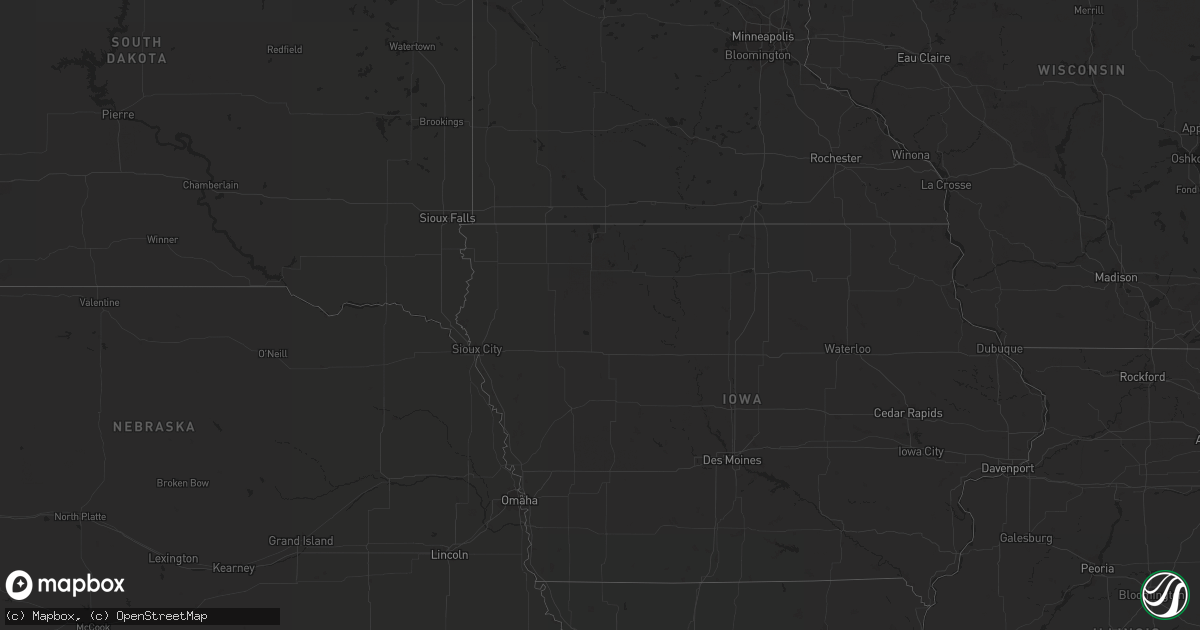
Hail Map in New York on July 27, 2020
Get this storm
July 27 map
$229
one time, instant access
Download today. No call, no setup
Keep the $229
Bought the map and want the full workflow? Apply the entire $229 to a subscription within 7 days. None of it is wasted.
Every map, not just this one
This buys you this map. Subscription and you get every map we run, in the markets you choose from a few cities to whole states to nationwide. Plus real-time alerts the moment a storm fires.
Contact data
Name, contact info, occupancy, even credit band for addresses in the footprint. You go from where it hit to who to call.
Become the source they trust
Unlimited branding weather history reports on demand. You already have the documented answer ready for the property owner, and you are the one who showed up with it.
Property data and RoofTrace estimates
Pull up any address you have got, its value and the exact code rules for that jurisdiction, straight from One Click Code. Then RoofTrace estimates the squares, pitch, and roof value, priced the way you price.
Storm reports in New York
New York
| Date | Description |
|---|---|
| 07/27/20202:58 PM CDT | Power line down... Overhanging genesee street... As per county dispatch feed. Radar estimated time. |
| 07/27/20202:57 PM CDT | Downed poles and wires on union street. Time estimated from radar. |
| 07/27/20202:43 PM CDT | Tree and wires down. Time estimated from radar. |
| 07/27/20202:35 PM CDT | Trees and powerlines down near radcliffe and salem |
| 07/27/20202:33 PM CDT | Power lines down on county dispatch feed. One at smith street... Another near thompson rod. |
| 07/27/20202:31 PM CDT | Trees down as per county dispatch feed. Near arlington ave and charmouth drive. |
| 07/27/20205:12 AM CDT | At 1011 PM EDT, a severe thunderstorm was located over Preston-Potter Hollow, or 16 miles north of Hunter, moving east at 35 mph. HAZARD...60 mph wind gusts. SOURCE...Radar indicated. IMPACT...Expect damage to roofs, siding, and trees. Locations impacted include... New Baltimore, Westerlo, Ravena, Coxsackie, Berne, Voorheesville, Windham, Gilboa, Selkirk, Livingstonville, North Blenheim, Preston-Potter Hollow, Feura Bush, Preston Hollow, New Scotland, Coeymans, Durham, Rensselaerville, Ashland and Clarksville. |
| 07/27/20204:38 AM CDT | At 937 PM EDT, a severe thunderstorm was located over Hobart, or 14 miles east of Delhi, moving east at 30 mph. HAZARD...60 mph wind gusts. SOURCE...Radar indicated. IMPACT...Expect damage to roofs, siding, and trees. Locations impacted include... Jefferson, Windham, Gilboa, Prattsville, Livingstonville, North Blenheim, Breakabeen, Preston-Potter Hollow, Preston Hollow, Ashland, Jewett, Conesville, West Settlement, Mosquito Point, Baird Corners, North Lexington, Manorkill, Broome Center, West Fulton and Five Corners. |
| 07/27/20204:20 AM CDT | At 918 PM EDT, severe thunderstorms were located along a line extending from near East Meredith to near Margaretville, moving east at 40 mph. HAZARD...60 mph wind gusts. SOURCE...Radar indicated. IMPACT...Expect damage to roofs, siding, and trees. Locations impacted include... Delhi, Davenport, Roxbury, Kortright, Meredith, Andes, Stamford, Hobart, Meridale and East Meredith. |
| 07/27/20203:55 AM CDT | At 852 PM EDT, a severe thunderstorm was located near Walton, moving east at 30 mph. HAZARD...60 mph wind gusts. SOURCE...Radar indicated. IMPACT...Expect damage to roofs, siding, and trees. Locations impacted include... Walton, Delhi, Colchester, Kortright, Meredith, Hamden, Andes, Bovina Center, East Delhi and Wolf Hollow. |
| 07/26/202010:22 PM CDT | At 322 PM EDT, a severe thunderstorm was located near Syracuse, moving east at 30 mph. HAZARD...60 mph wind gusts. SOURCE...Radar indicated. IMPACT...Expect damage to roofs, siding, and trees. Locations impacted include... Onondaga, Syracuse, De Witt, Sullivan, Oneida, Lenox, Solvay, Chittenango, Canastota and Manlius. |
| 07/26/20209:25 PM CDT | Trees and wires down on route 67 in durham southeast of medusa. |
| 07/26/20208:25 PM CDT | Trees down in meredith to east meredith areas. |
| 07/26/20208:05 PM CDT | As per dispatch feed... Trees down blocking part of state highway 10. Possible wires as well. |
All States Impacted by Hail Map on July 27, 2020
Cities Impacted by Hail Map on July 27, 2020
- Chester, CA
- Indianapolis, IN
- Danville, IN
- Brownsburg, IN
- Avon, IN
- Pittsboro, IN
- Lizton, IN
- Greenfield, IN
- Beech Grove, IN
- Camby, IN
- Plainfield, IN
- Needham, IN
- Fairland, IN
- Boggstown, IN
- Shelbyville, IN
- Newport, ME
- Hampden, ME
- Skowhegan, ME
- Dixmont, ME
- Athens, ME
- Bucksport, ME
- Plymouth, ME
- Harmony, ME
- Winterport, ME
- Hartland, ME
- Etna, ME
- Palmyra, ME
- Saint Albans, ME
- Detroit, ME
- Carmel, ME
- Leipsic, OH
- Amherst, OH
- Lorain, OH
- Elyria, OH
- Tiro, OH
- Bucyrus, OH
- New Washington, OH
- Shelby, OH
- Avon, OH
- Cleveland, OH
- Westlake, OH
- Brookpark, OH
- Olmsted Falls, OH
- North Ridgeville, OH
- North Olmsted, OH
- Columbus, OH
- Grove City, OH
- Minoa, NY
- Syracuse, NY
- Kirkville, NY
- East Syracuse, NY
- Camillus, NY
- Stamford, NY
- Hobart, NY
- Monument Valley, UT
- Vega, TX
- Clarendon, TX
- Clayton, NM
- Bisbee, AZ
- Frohna, MO
- Perryville, MO
- Uniontown, MO
- Canadian, TX
- Pritchett, CO
- Pickerington, OH
- Reynoldsburg, OH
- Benson, AZ
- Maysville, GA
- Gillsville, GA
- Silverton, TX
- Somerset, OH
- New Lexington, OH
- Mount Perry, OH
- Yreka, CA
- Panguitch, UT
- Monroeville, IN
- Convoy, OH
- Continental, OH
- Miller City, OH
- Redkey, IN
- Portland, IN
- Roseville, OH
- Kirklin, IN
- North Vernon, IN
- West Harrison, IN
- Tulia, TX
- Pomona Park, FL
- Eaton, IN
- Dunkirk, IN
- Albany, IN
- Port Saint Lucie, FL
- Napoleon, OH
- Defiance, OH
- Holgate, OH
- Mendon, OH
- Rockford, OH
- Ridgeville, IN
- Ridgway, IL
- Junction, IL
- Shawneetown, IL
- Greenville, CA
- Canyon Dam, CA
- Reed, KY
- Owensboro, KY
- Trenton, SC
- Needville, TX
- Boling, TX
- Williamston, SC
- Pelzer, SC
- Lake Placid, FL
- Happy Camp, CA
- Nashport, OH
- Frazeysburg, OH
- Canal Winchester, OH
- Groveport, OH
- Lockbourne, OH
- Rushville, OH
- Groom, TX
- Morganfield, KY
- Palatka, FL
- Rushville, IN
- Fort Jones, CA
- Butlerville, IN
- Loveland, OH
- Attica, IN
- Westpoint, IN
- Henderson, KY
- Venus, FL
- Naples, FL
- Claude, TX
- Eaton, OH
- West Alexandria, OH
- Graysville, OH
- Wingett Run, OH
- Lower Salem, OH
- Spottsville, KY
- Mclean, TX
- Dimmitt, TX
- Blanchester, OH
- Fayetteville, OH
- Teasdale, UT
- Torrey, UT
- Lebanon, IN
- Pampa, TX
- Lugoff, SC
- Paulding, OH
- Oakwood, OH
- Dresden, OH
- Shonto, AZ
- Page, AZ
- Pataskala, OH
- Baltimore, OH
- Uniontown, KY
- Williamstown, WV
- Vienna, WV
- Thornville, OH
- Millersport, OH


