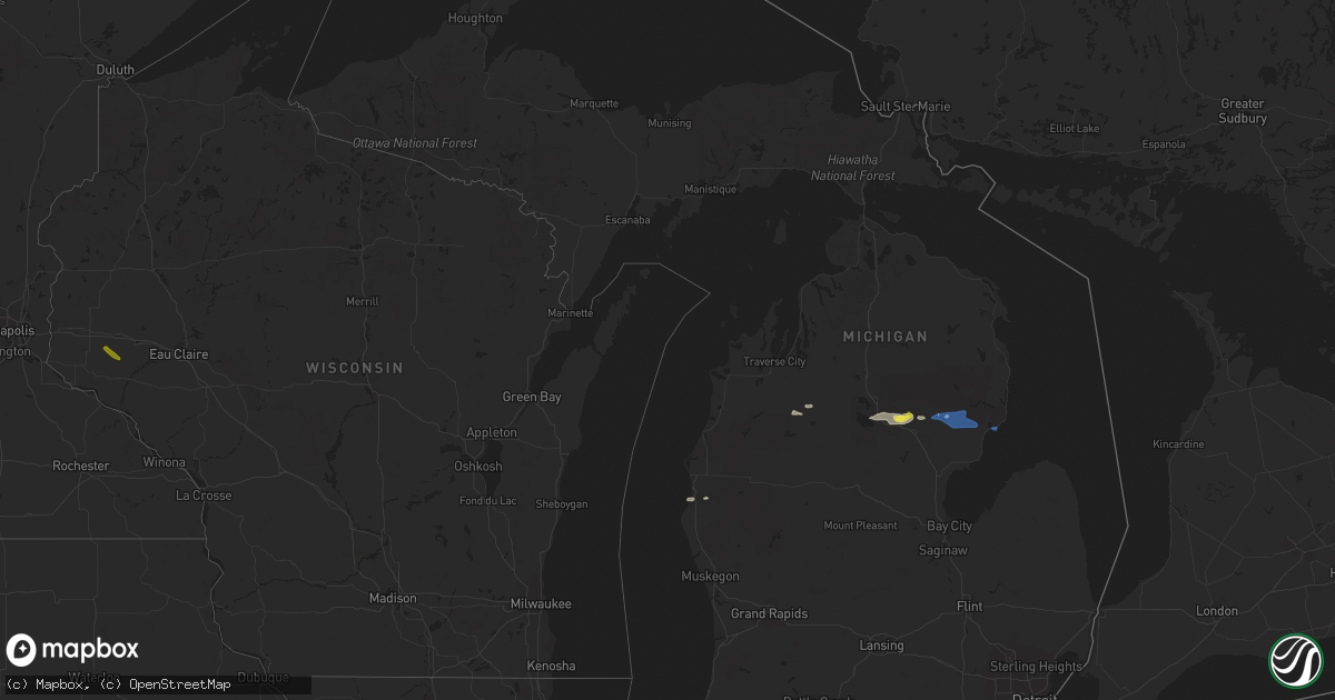
Hail Map in Michigan on July 27, 2019
Get this storm
July 27 map
$229
one time, instant access
Download today. No call, no setup
Keep the $229
Bought the map and want the full workflow? Apply the entire $229 to a subscription within 7 days. None of it is wasted.
Every map, not just this one
This buys you this map. Subscription and you get every map we run, in the markets you choose from a few cities to whole states to nationwide. Plus real-time alerts the moment a storm fires.
Contact data
Name, contact info, occupancy, even credit band for addresses in the footprint. You go from where it hit to who to call.
Become the source they trust
Unlimited branding weather history reports on demand. You already have the documented answer ready for the property owner, and you are the one who showed up with it.
Property data and RoofTrace estimates
Pull up any address you have got, its value and the exact code rules for that jurisdiction, straight from One Click Code. Then RoofTrace estimates the squares, pitch, and roof value, priced the way you price.
Storm reports in Michigan
Michigan
| Date | Description |
|---|---|
| 07/27/20192:24 PM CDT | Trees down on power lines...blocking road. |
| 07/27/20192:21 PM CDT | Corrects previous tstm wnd dmg report from national city. Trees and limbs down. |
| 07/27/20192:15 PM CDT | Power lines down. Time estimated via radar. |
| 07/27/20192:06 PM CDT | *** 1 inj *** trees down on vehicle in hale. 1 injury reported. |
| 07/27/20192:00 PM CDT | Trees and limbs down. |
| 07/27/20191:53 PM CDT | Trees down over power lines causing fire. |
| 07/27/20191:52 PM CDT | Large limbs down. |
| 07/27/20191:28 PM CDT | Trees down over power lines. |
| 07/26/20199:48 PM CDT | At 247 PM EDT, a severe thunderstorm was located over Selkirk, or 9 miles northeast of West Branch, moving east at 35 mph. HAZARD...60 mph wind gusts and quarter size hail. SOURCE...Radar indicated. IMPACT...Hail damage to vehicles is expected. Expect wind damage to roofs, siding, and trees. Locations impacted include... Oscoda, East Tawas, Tawas City, Au Sable, South Branch, Whittemore, Tawas Point State Park, Plainfield Township, Rifle River State Park, National City, Hale, Lupton, Wurtsmith Airfield, Wilber and Sid Town. |
| 07/26/20199:09 PM CDT | At 209 PM EDT, a severe thunderstorm was located over Lake St. Helen, or near St. Helen, moving east at 35 mph. HAZARD...60 mph wind gusts and quarter size hail. SOURCE...Radar indicated. IMPACT...Hail damage to vehicles is expected. Expect wind damage to roofs, siding, and trees. Locations impacted include... West Branch, St. Helen, Rose City, Rose Township, Selkirk, Clear Lake, Lake St. Helen, Lupton, Skidway Lake and Foster Township. |
All States Impacted by Hail Map on July 27, 2019
Cities Impacted by Hail Map on July 27, 2019
- Bradgate, IA
- Rolfe, IA
- Southwick, MA
- Iliff, CO
- Crook, CO
- Montrose, CO
- Oral, SD
- Ottosen, IA
- Rutland, IA
- Gordon, NE
- Winner, SD
- Saint Helen, MI
- Lead, SD
- Barkhamsted, CT
- Canton, CT
- Pine Ridge, SD
- West Branch, MI
- Roscommon, MI
- Houghton Lake, MI
- Tererro, NM
- Merriman, NE
- Sidney, NE
- Keystone, IA
- Model, CO
- Fowler, CO
- Newport, NE
- Livingston, MT
- Marshalltown, IA
- Spearfish, SD
- Deadwood, SD
- Palmer Lake, CO
- Monument, CO
- Harrisburg, NE
- Buffalo Gap, SD
- Edgemont, SD
- Hale, MI
- Traer, IA
- Kennebec, SD
- Crawford, NE
- Chelsea, IA
- Gladbrook, IA
- Garwin, IA
- Gering, NE
- Rocky Ford, CO
- Pentwater, MI
- Manton, MI
- Dix, NE
- Humboldt, IA
- Bode, IA
- Pecos, NM
- Saint Lawrence, SD
- Larkspur, CO
- Smithwick, SD
- Lupton, MI
- Toledo, IA
- Bassett, NE
- Avon, CT
- Livermore, IA
- Hart, MI
- Florence, CO
- Alliance, NE
- Rose City, MI
- Luzerne, IA
- Blairstown, IA
- Oglala, SD
- Lodgepole, NE
- Elmwood, WI
- Spring Valley, WI
- Tawas City, MI
- Whittemore, MI
- National City, MI
- East Tawas, MI
- Coventry, CT
- Storrs Mansfield, CT


